
Panoramic photo automatic uploading and splicing method
A technology for automatic uploading and photo uploading. It is applied in image data processing, instruments, computing, etc. It can solve the problems of time consumption and manpower, and achieve the effect of reducing the difficulty of processing, uniform brightness and easy viewing.
- Summary
- Abstract
- Description
- Claims
- Application Information
AI Technical Summary
Problems solved by technology
Method used
Image

Examples
Embodiment Construction
[0032] As shown, the present invention includes the following steps.
[0033] 1) After the panoramic camera imports the picture, it is stitched and fused into a panoramic image according to the parameters of the panoramic camera.
[0034] 2) According to the gyroscope data in the camera, correct the combined panorama, and correct the panorama shot with a small amount of tilt to a horizontal shot.
[0035] 3) Panorama uses a picture surrounding the 2D surface of the sphere to define the projection on the sphere, while segmenting it into different levels.
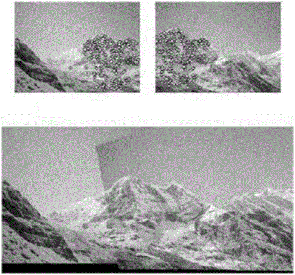
[0036] The method of the step 1) stitching is to analyze a first image and a second image, the first image captured by the first image sensor part and the second image captured by the second image sensor part, wherein the first image and at least one location on the second image that initiates the analysis of the first image and the second image depends on at least one contextual characteristic; The analysis determines over...
PUM
 Abstract
Description
Claims
Application Information