OpenFOAM-based method for simulating complex terrain surface roughness

A technology of surface roughness and complex terrain, applied in the field of computational wind engineering, can solve the problems of non-disclosure of source programs, expensive purchase costs, and difficulty in meeting all user needs.

Active Publication Date: 2018-10-16
HUAZHONG UNIV OF SCI & TECH
View PDF3 Cites 5 Cited by
  • Summary
  • Abstract
  • Description
  • Claims
  • Application Information

AI Technical Summary

Problems solved by technology

CFD commercial software is simple and easy to use, but it is expensive to purchase, and the source program is not disclosed. Th

Method used


Image

  • OpenFOAM-based method for simulating complex terrain surface roughness
  • OpenFOAM-based method for simulating complex terrain surface roughness
  • OpenFOAM-based method for simulating complex terrain surface roughness

Examples


Embodiment 1

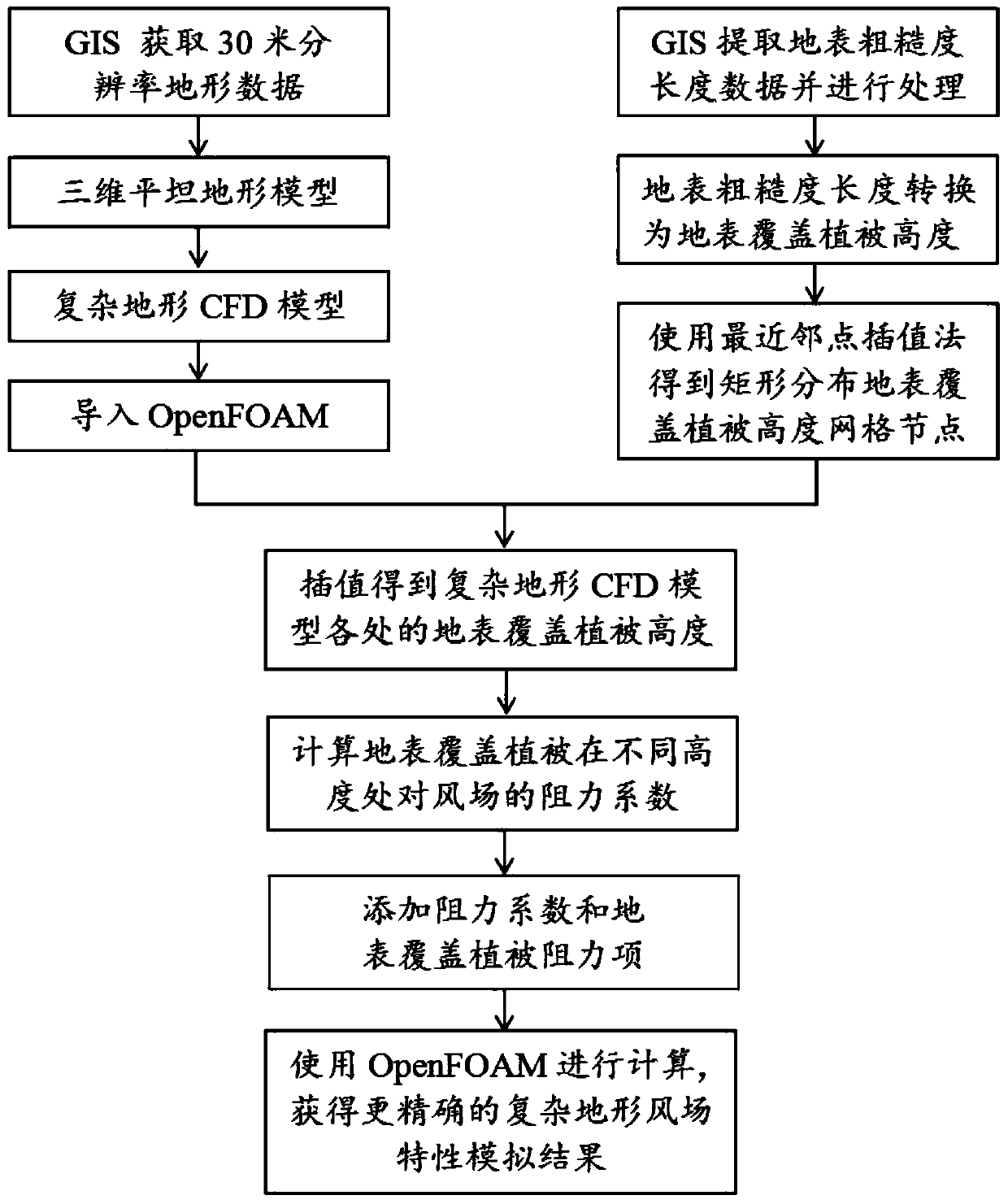
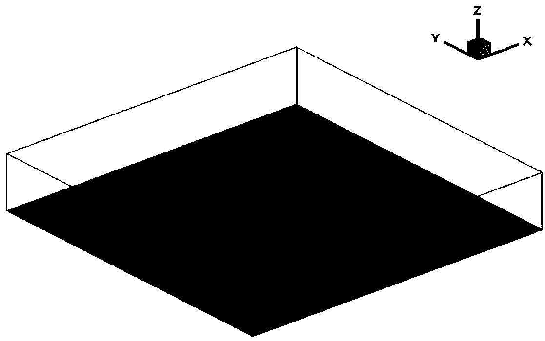
[0049] The length, width and height of the three-dimensional flat terrain CFD model in Example 1 are 24km, 24km and 8km respectively, fine grids are used in the area of ​​interest, and the grid size is 20m, and coarse grids are used away from the area of ​​interest, and the minimum grid size of the bottom surface in the vertical direction is 1m, and the maximum growth rate of the grid in the calculation domain is 1.2;

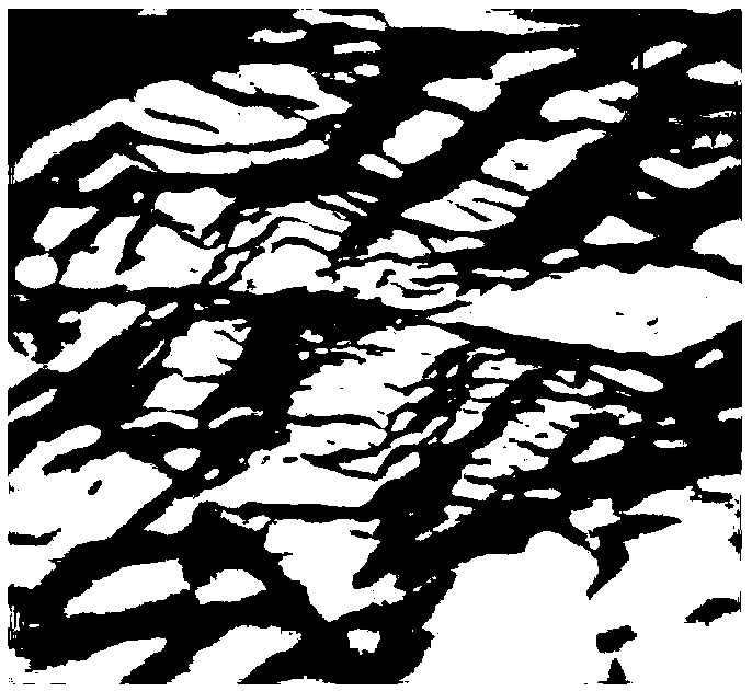
[0050] 1.3) Realize the data conversion between the terrain data grid node in the computational domain and the 3D flat terrain CFD model grid node: according to the coordinates of each bottom grid data node in the 3D flat terrain CFD model, find its location in the terrain data grid The corresponding position in the node, and then use the elevation of the three terrain data grid nodes around the position to obtain the elevation of the bottom grid node through triangular coplanar linear interpolation. At the same time, in the 3D flat terrain CFD model, the vertic...


PUM


Abstract

The invention belongs to the field of computing wind engineering, and discloses an OpenFOAM-based method for simulating complex terrain surface roughness. The method comprises the following steps of 1) building a complex terrain CFD model, and generating a refined grid; 2) extracting surface roughness length data of the complex terrain CFD model, converting a surface roughness length into a surface cover vegetation height, and providing an accurate data basis for simulating an influence of a surface cover vegetation on a wind field of a complex terrain; 3) calculating resistance coefficients of the surface cover vegetation to the wind field at different heights, and then converting the surface cover vegetation height into the corresponding resistance coefficient; and 4) adding the resistance coefficient and a resistance item of the surface cover vegetation by using OpenFOAM, thereby obtaining a more accurate complex terrain wind field characteristic simulation result. A program language supported by a computer is used; the influence of the surface roughness on the wind field of the complex terrain is considered; and therefore, the numerical simulation accuracy of the wind field ofthe complex terrain is improved.

Description

technical field [0001] The invention belongs to the field of computational wind engineering, and more specifically relates to a method for simulating the surface roughness of complex terrain. Background technique [0002] The surface roughness length refers to that due to the undulations of the surface or the geometric shape of the ground object itself, the position where the wind speed is zero on the wind speed profile is not on the surface (the height is zero), but at a certain height from the surface. This height, also known as the aerodynamic roughness length, is a comprehensive characteristic parameter of the effect of the surface on the pattern and retardation of the passing fluid. The surface roughness length is generated by the vegetation on the surface, which represents the aerodynamic characteristics of the surface, reflects the weakening effect of the surface on the wind speed, and depends on the roughness factors of the ground, such as the geometric shape, size a...

Claims


Application Information

Patent Timeline
IPC IPC(8): G06F17/50G06F17/30G06T17/05
CPCG06F30/20G06T17/05Y02A90/10
Inventor 刘震卿吴晓波熊世树
Owner HUAZHONG UNIV OF SCI & TECH
Why Eureka
Try Eureka