A method of simulating the surface roughness of complex terrain based on openfoam
A technology of surface roughness and complex terrain, applied in the field of computational wind engineering, can solve the problems of expensive purchase cost, difficult to meet all needs of users, and the source program is not open.
- Summary
- Abstract
- Description
- Claims
- Application Information
AI Technical Summary
Problems solved by technology
Method used
Image
Examples
Embodiment 1
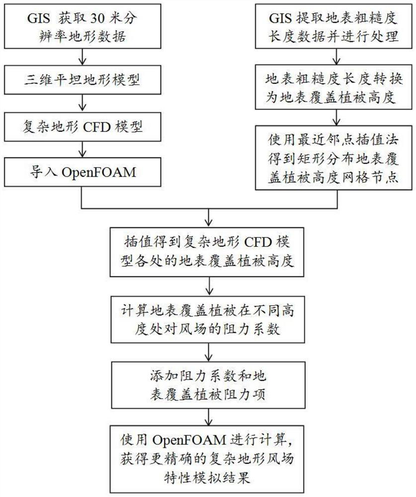
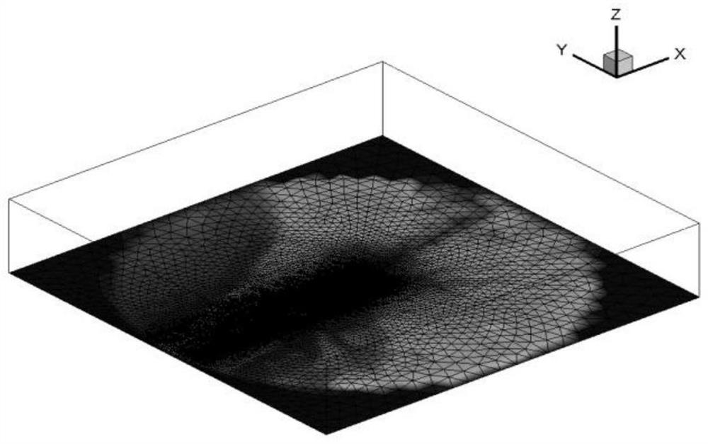
[0049] The length, width, and height of the three-dimensional flat terrain CFD model of Example 1 are 24km, 24km and 8km respectively. The fine grid is used in the area of interest, and the grid size is 20m. The coarse grid is used far away from the area of interest, and the minimum grid size is the bottom surface in the vertical direction. 1m, the maximum growth rate of the grid in the computational domain is 1.2;
[0050] 1.3) Realize the data conversion between the terrain data grid node of the computational domain and the grid node of the 3D flat terrain CFD model: According to the coordinates of each bottom surface grid data node in the 3D flat terrain CFD model, find it in the terrain data grid The corresponding position in the node, and then use the elevation of the three terrain data grid nodes around the position to interpolate the elevation of the bottom grid node through the triangular coplanar linear interpolation. At the same time, in the three-dimensional flat te...
PUM
 Abstract
Description
Claims
Application Information
 - R&D
- Intellectual Property
- Life Sciences
- Materials
- Tech Scout
- Unparalleled Data Quality
- Higher Quality Content
- 60% Fewer Hallucinations
Browse by: Latest US Patents, China's latest patents, Technical Efficacy Thesaurus, Application Domain, Technology Topic, Popular Technical Reports.
© 2025 PatSnap. All rights reserved.Legal|Privacy policy|Modern Slavery Act Transparency Statement|Sitemap|About US| Contact US: help@patsnap.com


