Layout method of traffic survey stations on ordinary highways considering regional boundary control
A border control and road traffic technology, applied in data processing applications, instruments, calculations, etc., can solve problems such as data that cannot be considered as a whole and lack of theoretical foundation
- Summary
- Abstract
- Description
- Claims
- Application Information
AI Technical Summary
Problems solved by technology
Method used
Image
Examples
Embodiment
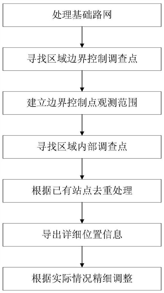
[0035] This embodiment provides a method for laying out sites for investigation of traffic conditions on ordinary highways considering regional boundary control. The flow chart of the method is as follows figure 1 As shown, the following is a detailed description of the layout method of the above-mentioned ordinary road traffic survey site considering the regional boundary control in combination with the ordinary road network of Guangdong Province, including the following steps:
[0036] 1) Simplify the road network layer in ArcGIS software to obtain the basic road map;
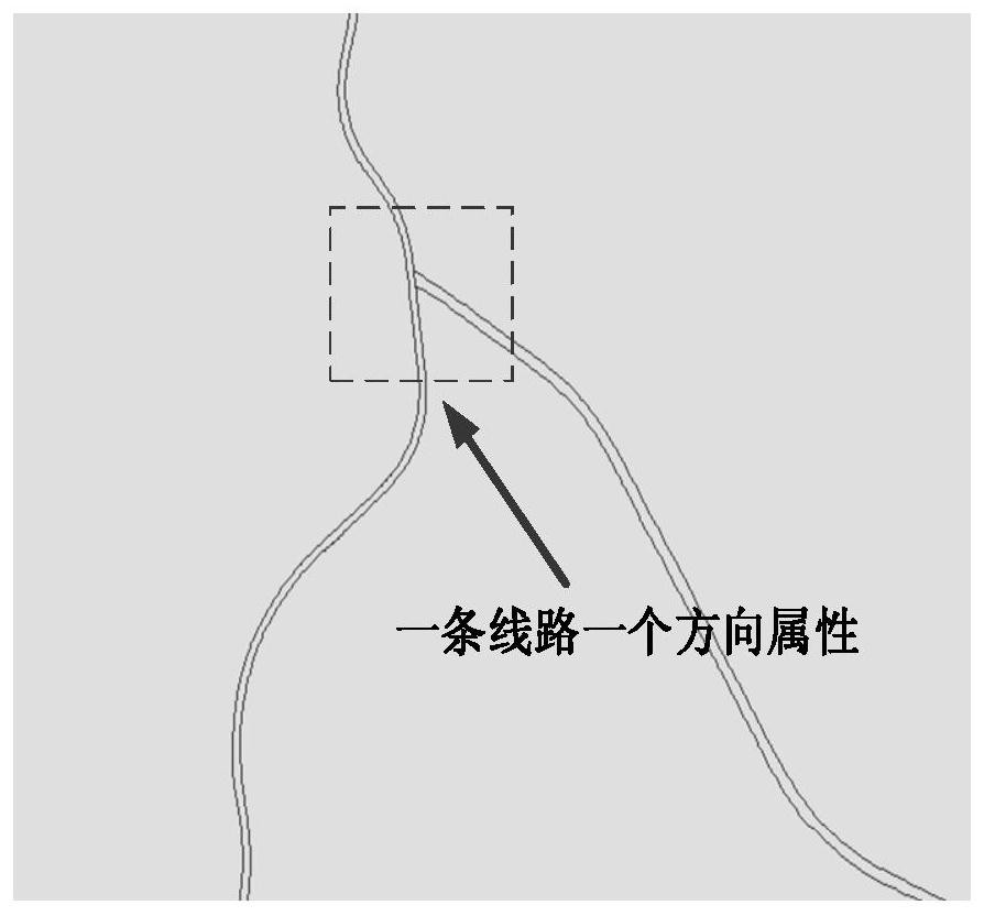
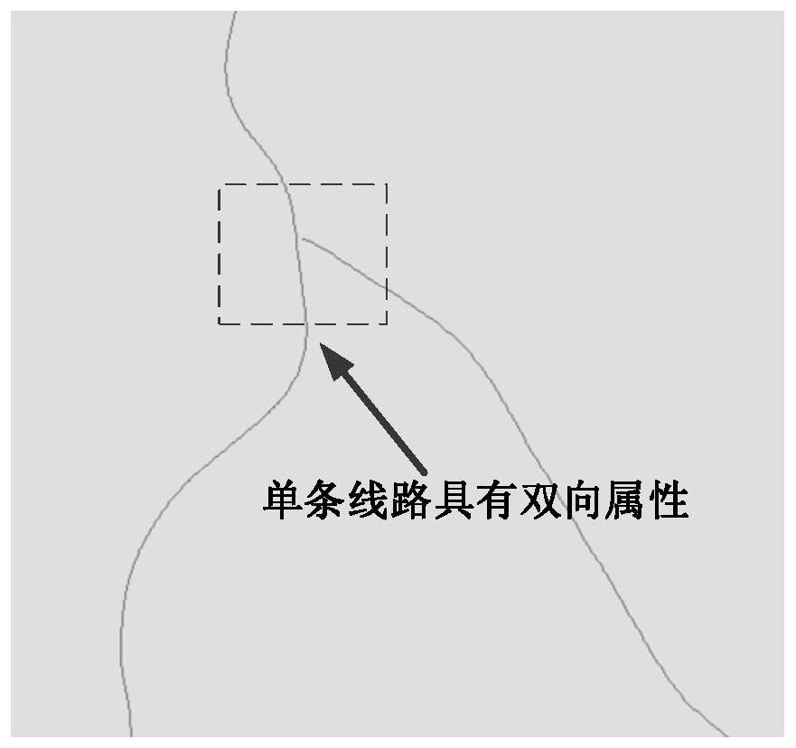
[0037] In actual roads, a section of national and provincial highways is generally two-lane parallel, and the field attributes are uplink and downlink respectively. Some special road sections only have one side, and the field attributes are two-way driving sections. According to the concept of graph theory, the graph formed at this time is a directed graph, most of the adjacent nodes are connected to each oth...
PUM
 Abstract
Description
Claims
Application Information
 - R&D
- Intellectual Property
- Life Sciences
- Materials
- Tech Scout
- Unparalleled Data Quality
- Higher Quality Content
- 60% Fewer Hallucinations
Browse by: Latest US Patents, China's latest patents, Technical Efficacy Thesaurus, Application Domain, Technology Topic, Popular Technical Reports.
© 2025 PatSnap. All rights reserved.Legal|Privacy policy|Modern Slavery Act Transparency Statement|Sitemap|About US| Contact US: help@patsnap.com


