Geological exploration management platform system based on data acquisition
A geological exploration and management platform technology, applied in general control systems, electrical digital data processing, special data processing applications, etc., can solve problems such as imperfect monitoring and early warning effects, slow data processing, and poor system analysis capabilities
- Summary
- Abstract
- Description
- Claims
- Application Information
AI Technical Summary
Problems solved by technology
Method used
Image
Examples
Embodiment 1
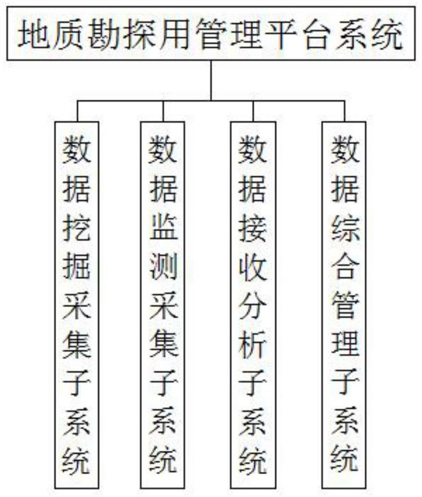
[0028] see figure 1 , a management platform system for geological exploration based on data collection, including a data mining and collection subsystem, a data monitoring and collection subsystem, a data reception and analysis subsystem, and a data comprehensive management subsystem;
[0029] The data mining and collection subsystem is used to mine and collect basic data in the database of the system. The basic data includes geological data, meteorological data and geographical data, and standardize the design of the data;
[0030] The data monitoring and acquisition subsystem is composed of a reference station and a monitoring station arranged in the geological survey area to be monitored, the reference station is used for real-time positioning, and the monitoring station is used for monitoring and collecting geological information data;
[0031] The data receiving and analyzing subsystem receives relevant geological and meteorological data collected from monitoring stations...
Embodiment 2
[0041] A management platform system for geological exploration based on data collection, including a data mining and collection subsystem, a data monitoring and collection subsystem, a data reception and analysis subsystem, and a data comprehensive management subsystem;
[0042] The data mining and collection subsystem is used to mine and collect basic data in the database of the system. The basic data includes geological data, meteorological data and geographical data, and standardize the design of the data;
[0043] The data monitoring and acquisition subsystem is composed of a reference station and a monitoring station arranged in the geological survey area to be monitored, the reference station is used for real-time positioning, and the monitoring station is used for monitoring and collecting geological information data;
[0044] The data receiving and analyzing subsystem receives relevant geological and meteorological data collected from monitoring stations in various geol...
Embodiment 3
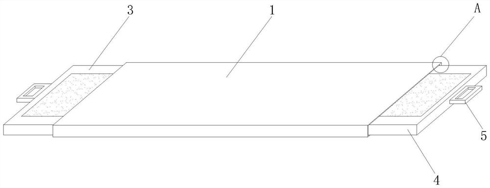
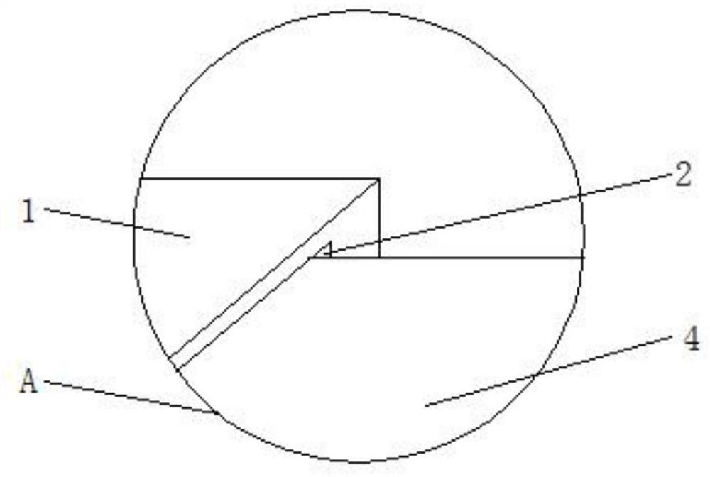
[0054] see Figure 2-3 , applied to the management platform system and computer equipment for geological exploration based on data acquisition in the first and second embodiments, the computer carried by the management platform system for geological exploration requires a placement frame to be placed, and the placement frame includes a placement plate 1 , the placement board 1 is used to support the placement of the computer, the inside of the placement board 1 is provided with a folding groove 2, and the two sides of the inside of the folding groove 2 are respectively slidably connected with a left pull-out plate 3 and a right pull-out plate 4, so A handle 5 for easy extraction is fixedly installed on one side surface of the left pull plate 3 and the right pull plate 4 .
[0055] Specifically, the surfaces of the left pull plate 3 and the right pull plate 4 do not need to be further designed, and are only used to increase the working area of the system management personnel’...
PUM
 Abstract
Description
Claims
Application Information
 - R&D
- Intellectual Property
- Life Sciences
- Materials
- Tech Scout
- Unparalleled Data Quality
- Higher Quality Content
- 60% Fewer Hallucinations
Browse by: Latest US Patents, China's latest patents, Technical Efficacy Thesaurus, Application Domain, Technology Topic, Popular Technical Reports.
© 2025 PatSnap. All rights reserved.Legal|Privacy policy|Modern Slavery Act Transparency Statement|Sitemap|About US| Contact US: help@patsnap.com


