Urban Diversity Index Analysis and Visual Modeling Based on Remote Sensing Data Inversion
A technology of remote sensing data and data inversion, applied in geographic information databases, structured data retrieval, special data processing applications, etc., can solve problems such as poor applicability and low efficiency
- Summary
- Abstract
- Description
- Claims
- Application Information
AI Technical Summary
Problems solved by technology
Method used
Image
Examples
Embodiment Construction
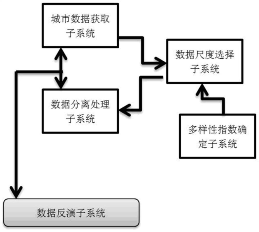
[0041] see figure 1 , a subsystem combination architecture diagram of an urban diversity index analysis system based on remote sensing data inversion according to an embodiment of the present invention.
[0042] exist figure 1 Among them, the system includes urban data acquisition subsystem, data scale selection subsystem, data separation processing subsystem, diversity index determination subsystem and data inversion subsystem.
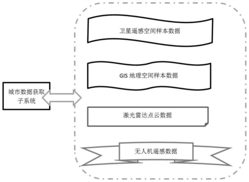
[0043] The urban data acquisition subsystem is used to obtain a variety of sample data of the city;
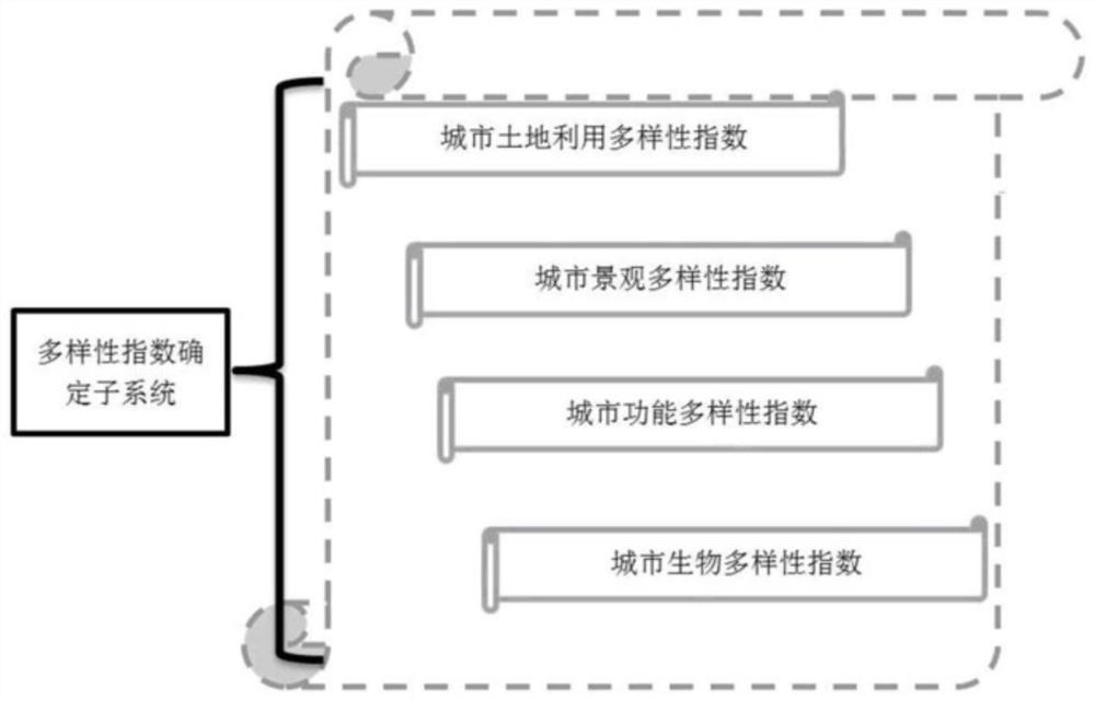
[0044]The data scale selection subsystem saves the relationship table between different diversity indices and the required corresponding types of city data scales, and automatically recommends the target diversity index type based on the target diversity index type determined by the diversity index determination subsystem. The urban data types and urban data scales required by the sex index;
[0045] The data separation processing subsystem is use...
PUM
 Abstract
Description
Claims
Application Information
 - R&D
- Intellectual Property
- Life Sciences
- Materials
- Tech Scout
- Unparalleled Data Quality
- Higher Quality Content
- 60% Fewer Hallucinations
Browse by: Latest US Patents, China's latest patents, Technical Efficacy Thesaurus, Application Domain, Technology Topic, Popular Technical Reports.
© 2025 PatSnap. All rights reserved.Legal|Privacy policy|Modern Slavery Act Transparency Statement|Sitemap|About US| Contact US: help@patsnap.com


