
Wearable system for providing walking directions

a technology of walking directions and wearable devices, applied in the field of wearable computing devices, can solve the problems of time-consuming, expensive, and labor-intensive, and achieve the effect of reducing labor intensity, improving work efficiency, and improving work efficiency

Active Publication Date: 2018-07-03
TOYOTA MOTOR ENGINEERING & MANUFACTURING NORTH AMERICA
View PDF480 Cites 12 Cited by
  • Summary
  • Abstract
  • Description
  • Claims
  • Application Information

AI Technical Summary

Problems solved by technology

Such map creation is a time-consuming, involved, and expensive process.
Although maps for roadway navigation are readily available, such maps are not available for walking navigation.

Method used


Image

  • Wearable system for providing walking directions
  • Wearable system for providing walking directions
  • Wearable system for providing walking directions

Examples


Embodiment Construction

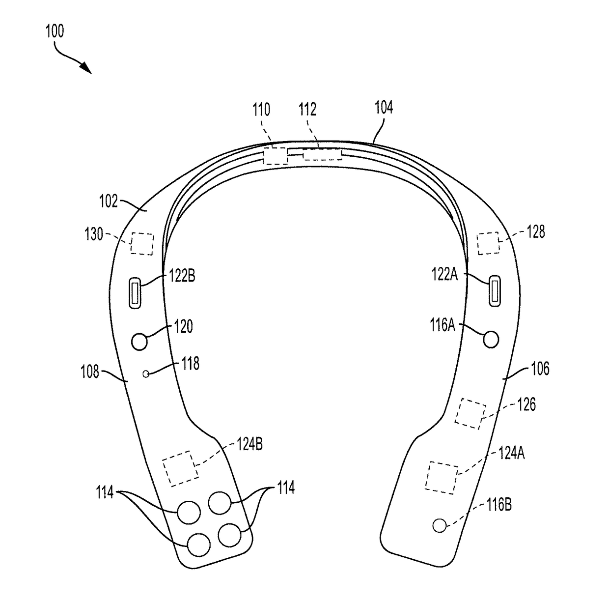
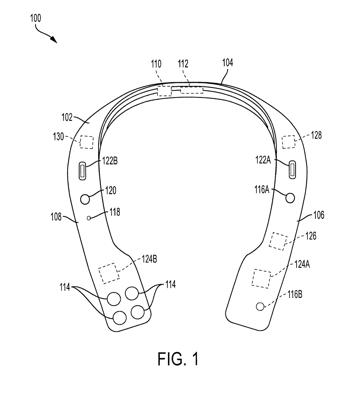
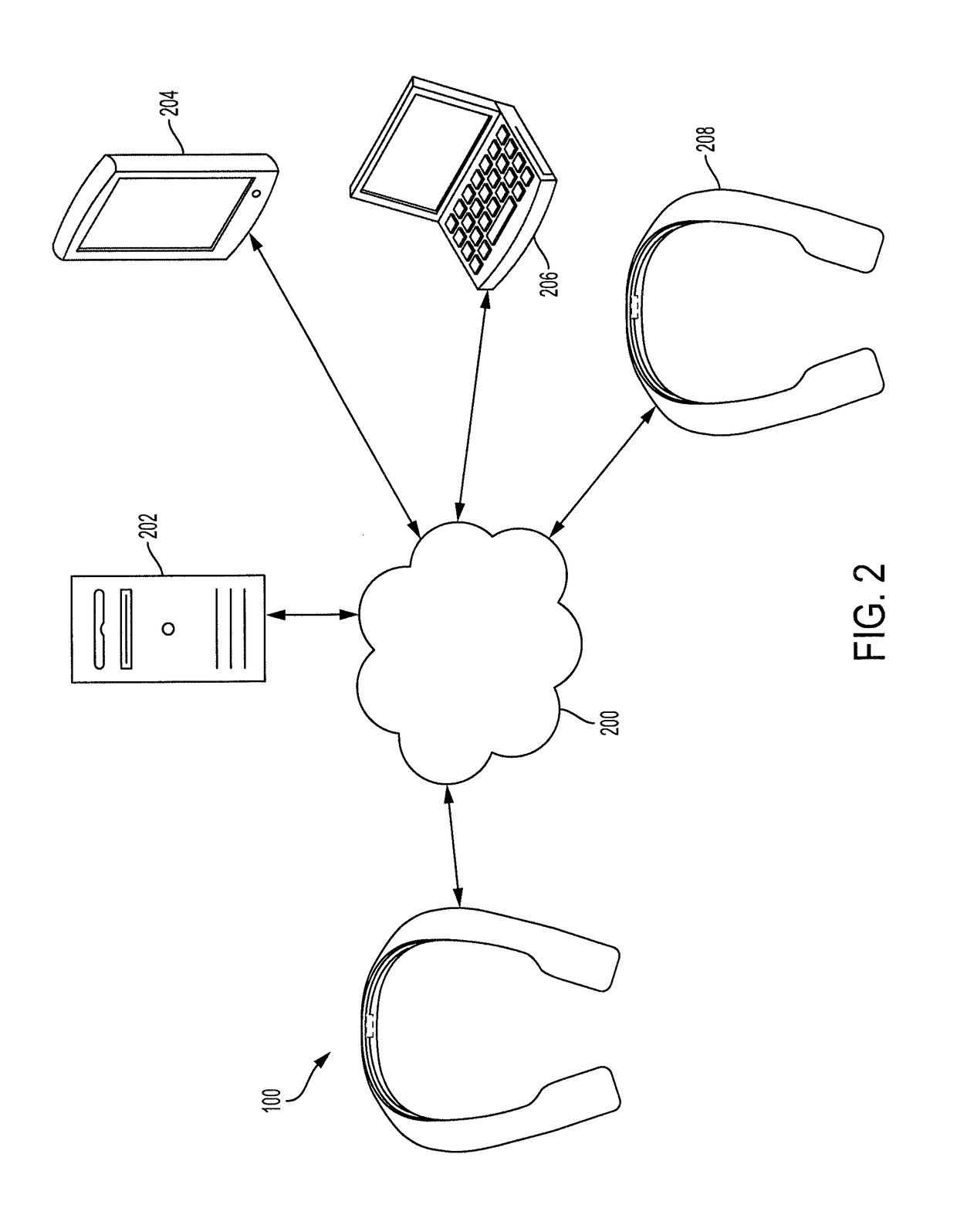
[0019]The present invention provides wearable computing devices that can be used to create a database of landmarks and corresponding locations, along with ordered lists of landmarks that each correspond to navigation instructions from a starting location to a destination location. The wearable computing device includes a camera, an inertial measurement unit (IMU), and a global positioning (GPS) sensor. An input device receives user input corresponding to nearby landmarks and an input / output port is used to wirelessly connect the wearable computing device to a database that can be edited. A mobile processor can receive the user input corresponding to the landmarks, detect additional data corresponding to the landmarks, determine a location of each landmark, and store the data and locations in the database. As additional landmarks are detected, the mobile processor may create an ordered list of landmarks that correspond to a route between a starting location and a destination location...


PUM


Abstract

A wearable computing device includes an input device, a global positioning system (GPS) sensor, an inertial measurement unit (IMU), a camera, and a memory that is designed to store a database of landmarks and corresponding locations. The device includes a mobile processor that is designed to receive first user input indicating that the user is traveling from a starting location to a destination location and second user input indicating that new landmarks are present. The processor is designed to determine locations of the new landmarks based on the current location, the inertial measurement data, and / or the detected image data. The processor is designed to update the database to include the new landmarks and corresponding locations. The processor is designed to update the database to include an ordered list of landmarks including the new landmarks in order of their appearance from the starting location to the destination location.

Description

BACKGROUND1. Field[0001]The present disclosure relates to wearable computing devices and, more particularly, to wearable computing devices designed to detect and store a plurality of landmarks and to use the landmarks to provide navigation instructions.2. Description of the Related Art[0002]Navigation systems have been in use for some time. Early navigation systems were included with high-end vehicles and provided navigation instructions from a starting location to another address. After a while, navigation systems began to be provided as separate components that could be carried around with a user. In addition to providing directions to a specific address, navigation systems began to store identifiers of destinations such as restaurant names and stores. As technology became smaller and more efficient, mobile devices such as mobile phones began to include navigation features.[0003]In order to provide navigation services, a provider of navigation systems must create a map that includ...

Claims


Application Information

Patent Timeline
Patent Type & Authority Patents(United States)
IPC IPC(8): G01C21/00G01C21/36G06K9/18G01C21/16G01C21/26G06Q30/06G06F17/30G06K9/62G01S19/47G06V30/224
CPCG01C21/165G01C21/00G01C21/265G01C21/3605G06Q30/0639G06F17/30G06K9/18G06K9/62G01S19/47G01C21/3602G01C21/3644G06F16/00G01S19/14G06V10/751G01C21/1654G01C21/1656G06V30/224G06F18/00
Inventor DAYAL, RAJIVCHEN, TIFFANY L.CHING, PATRICK K.NORTHCUTT, BRANDON D.
Owner TOYOTA MOTOR ENGINEERING & MANUFACTURING NORTH AMERICA
Learn More