Image control apparatus, server and control method therefor
- Summary
- Abstract
- Description
- Claims
- Application Information
AI Technical Summary
Benefits of technology
Problems solved by technology
Method used
Image
Examples
first embodiment
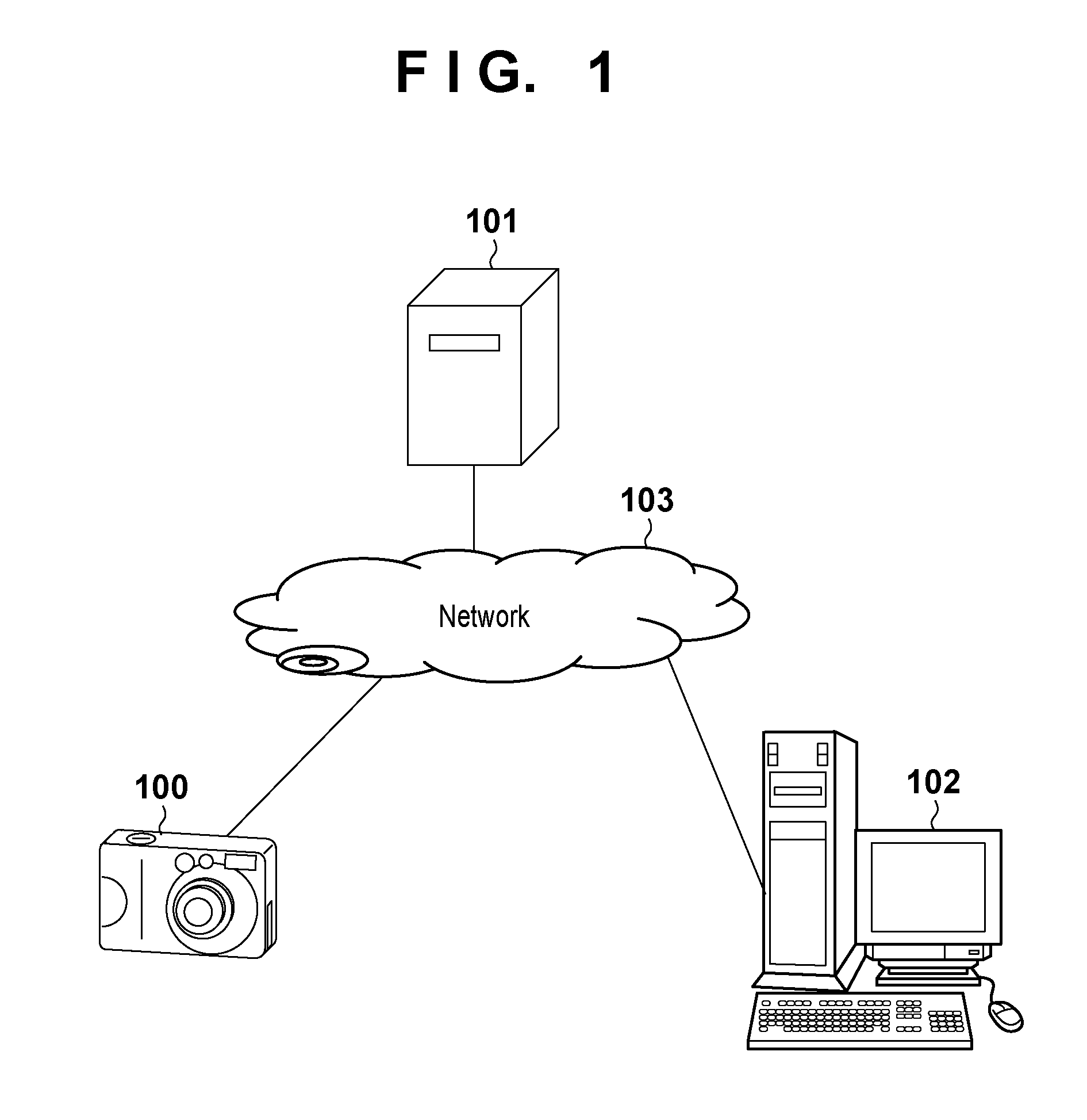
[0033]An image control apparatus according to this embodiment controls image data obtained by an electronic camera such as a digital still camera or digital video camera which shoots by converting an optical image into electrical image data using a solid-state image sensor. In this embodiment, an image control apparatus which transmits an image shot by a digital still camera to a server computer, and controls information to be distributed on the server computer.
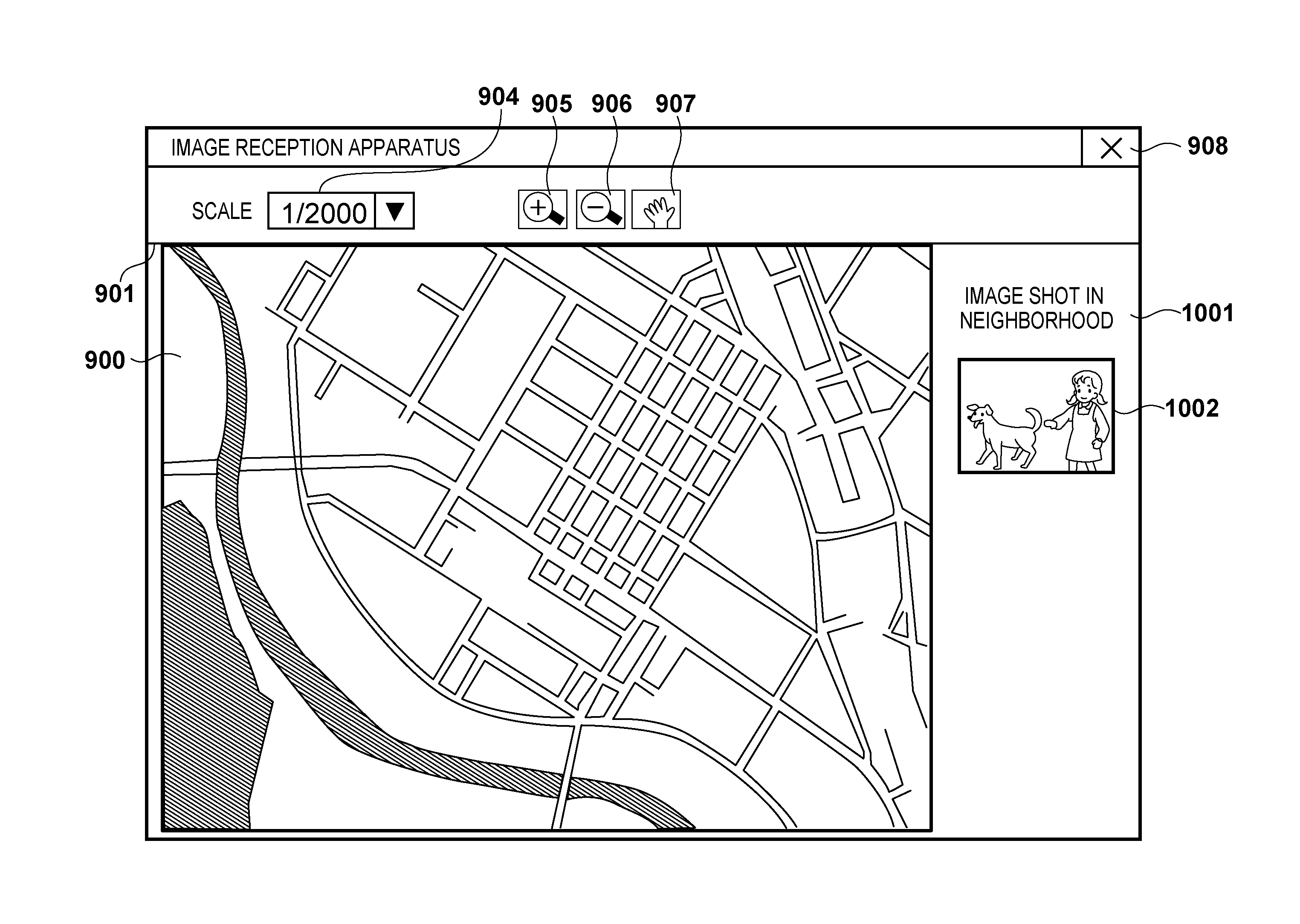
[0034]Display scale information indicates a maximum scale set by the user to lay out an image on a map in association with a shooting location. The display scale information is also restriction information indicating a maximum scale when an image is laid out on a map. Methods of determining, holding, and using display scale information will be described in detail later in this embodiment.
[0035]Display accuracy information indicates a maximum map accuracy set by the user to lay out an image on a map in association with a shoot...
second embodiment
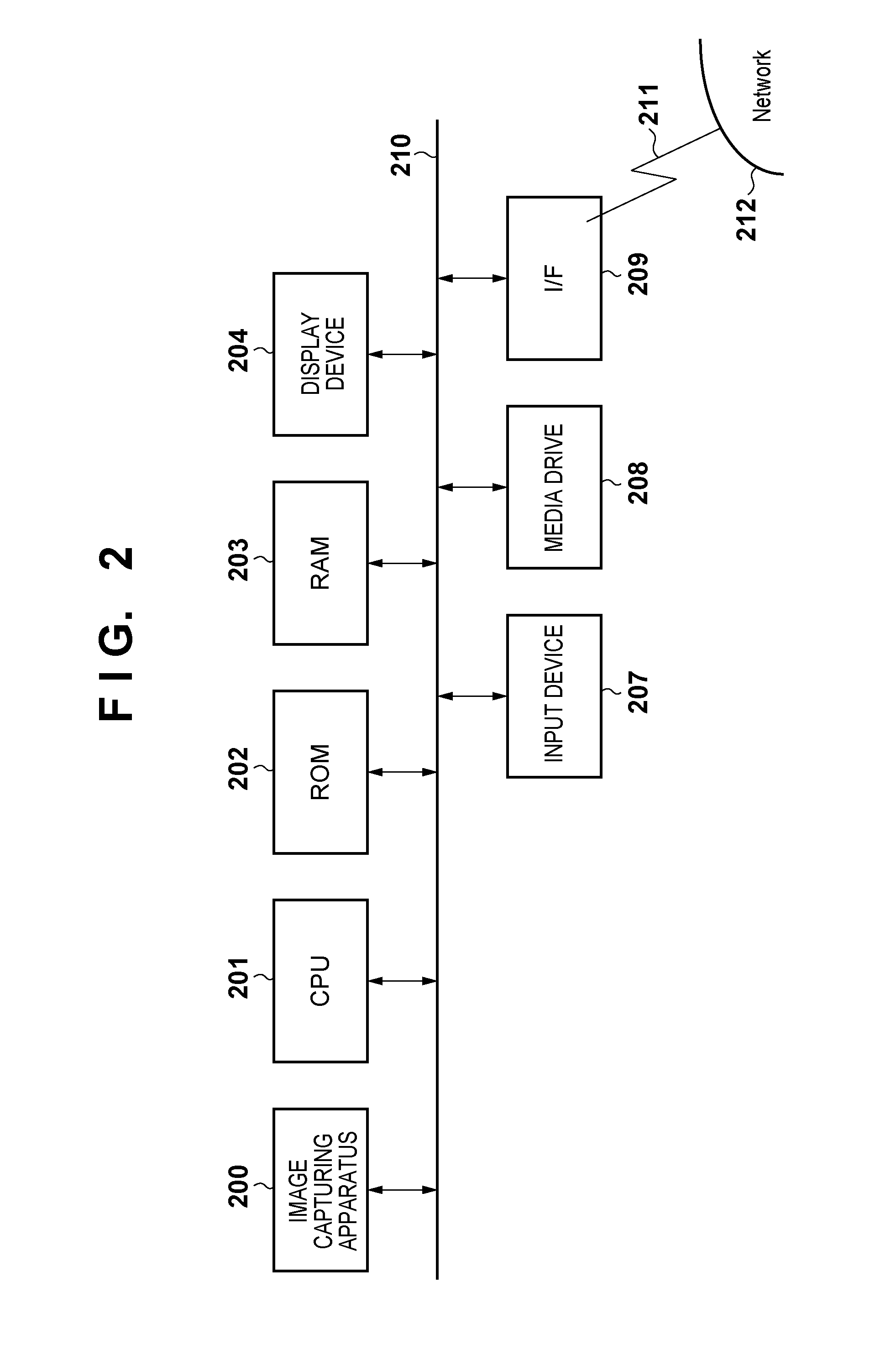
[0182]Although a case in which a server serves as an image control apparatus has been described in the first embodiment, a case in which a client serves as an image control apparatus will be explained in the second embodiment. Furthermore, although a case in which a digital still camera serves as an image transmission apparatus has been described in the first embodiment, a case in which a personal computer (hereinafter, PC) of a client serves as an image transmission apparatus will be explained in the second embodiment. It is supposed that the configuration of each of the image control apparatus and the image transmission apparatus is the same as that of the client in the first embodiment and a camera is built in the PC. In other words, image data is not limited to data acquired from an external digital camera. The image control apparatus may capture image data by itself.
Image Display Scale Designation
[0183]The user interface of a personal computer serving as an image transmission ...
third embodiment
[0263]In the first and second embodiments, whether to lay out and display an image on a map is switched depending on a scale. In the third embodiment, however, a case in which a map accuracy and an area are designated and whether to lay out and display an image on a map is switched depending on the map accuracy will be described. The map accuracy according to this embodiment indicates the level of an administrative area such as a town, ward, city, prefecture, region, or country. Among the administrative area, the map accuracy of the town is the highest and the map scale to be displayed is the largest. The map accuracy becomes lower and the map scale to be displayed is smaller in accordance with the ward, city, prefecture, region, or country. The map accuracy of the country is the lowest and the map scale to be displayed is the smallest. In the third embodiment, a server serves as an image control apparatus, and a personal computer serves as an image transmission apparatus. The confi...
PUM
 Abstract
Description
Claims
Application Information
 - R&D
- Intellectual Property
- Life Sciences
- Materials
- Tech Scout
- Unparalleled Data Quality
- Higher Quality Content
- 60% Fewer Hallucinations
Browse by: Latest US Patents, China's latest patents, Technical Efficacy Thesaurus, Application Domain, Technology Topic, Popular Technical Reports.
© 2025 PatSnap. All rights reserved.Legal|Privacy policy|Modern Slavery Act Transparency Statement|Sitemap|About US| Contact US: help@patsnap.com


