
A Lightweight Road Network Matching Method Based on Simplified Road Network Model

A technology for simplified model and road network matching, applied in special data processing applications, instruments, electrical digital data processing, etc., can solve the problems of small road network storage space, lack of simplified road network, and inability to load map data, etc., to achieve control calculation overhead, reducing storage size, controlling power consumption, and the effects of telecommunications costs

Inactive Publication Date: 2016-03-30
INST OF SOFTWARE - CHINESE ACAD OF SCI
View PDF4 Cites 0 Cited by
  • Summary
  • Abstract
  • Description
  • Claims
  • Application Information

AI Technical Summary

Problems solved by technology

This requires the storage space of the road network to be as small as possible. In most cases, the complete map data cannot be loaded. At present, there is no modeling method to simplify the road network to save storage space.
[0007] (2) The challenge of fast matching in a limited computing environment
According to detailed literature research and analysis, the current research and product development in this area are still blank.

Method used


Image

  • A Lightweight Road Network Matching Method Based on Simplified Road Network Model
  • A Lightweight Road Network Matching Method Based on Simplified Road Network Model
  • A Lightweight Road Network Matching Method Based on Simplified Road Network Model

Examples


Embodiment Construction

[0040] The main contents of the three steps in the technical solution of the present invention will be described in detail below.

[0041] 1. The first step: establish a new simplified road network model SPA-Map that will not lose matching results

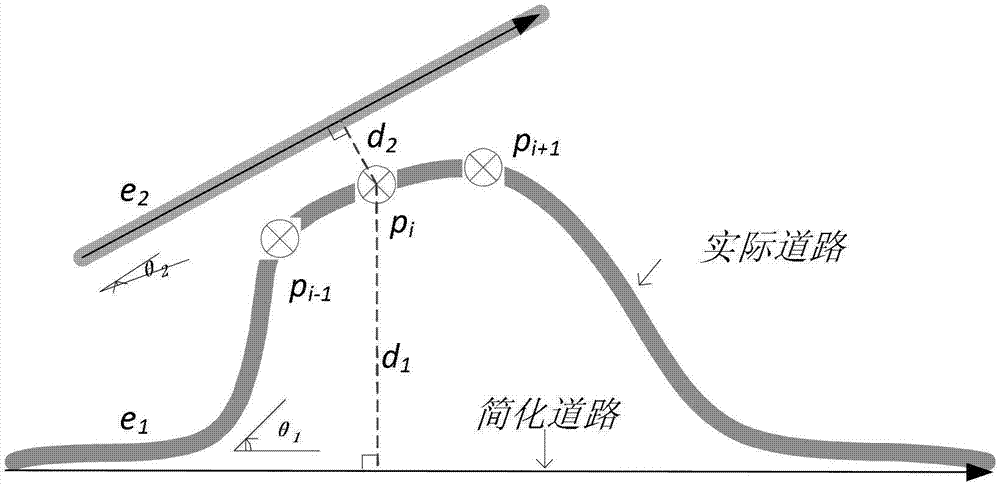
[0042] In view of the very limited storage of lightweight terminals, such as the current popular (low-end) smart phones with only 256MB or 512MB of memory, it is difficult to load too large map data, so it is natural and effective to simplify the map method. A regular road can be represented by a polyline and its attributes. Road network simplification is to reduce the storage cost by removing some unimportant points and attributes. The maximum simplified road network only saves the start point and end point of the road, and removes all the middle points of the polyline and other attributes (such as road width, road length, road type, maximum speed limit, etc.). The reason why it is called "maximum simplification" is that the sta...


PUM


Abstract

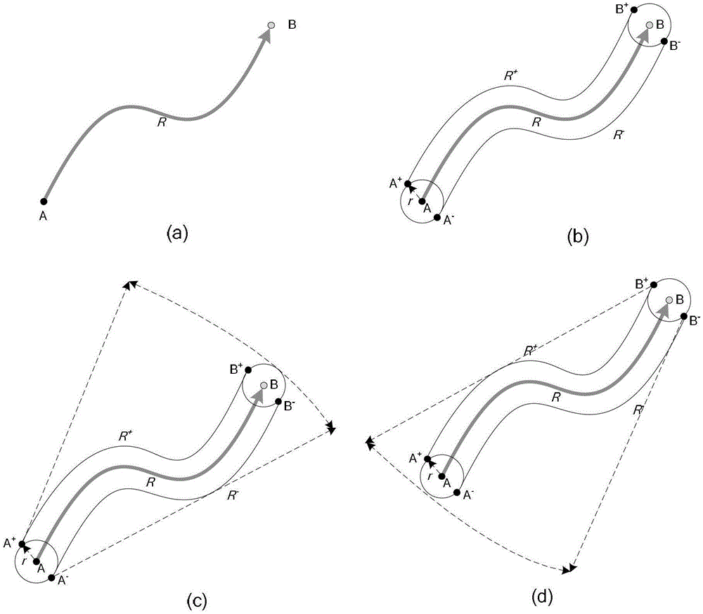
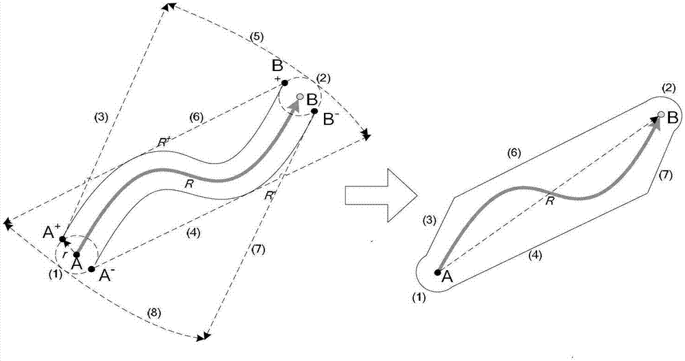
The invention discloses a light-weight map matching method based on a simplified map model. The method includes that (1) each road R in a Map indicates a safe projecting area (SPA) R, connected relations among roads are stored, a map simplified model SPA-Map is obtained and installed on a light-weight terminal; (2) an index for indexing the SPA-Map is built and installed on the light-weight terminal, and an indexing object of the index is SPAR; (3) for a global positioning system (GPS) sequence to be matched, the light-weight terminal looks up an SPA set corresponding to the sequence according to the index, and according to the SPA set, the GPS sequence is converted into an SPA graphic structure; and (4) maximum likelihood path search is conducted on the SPA graphic structure, and a maximum likelihood matching path of the GPS sequence to be matched is obtained. By means of the light-weight map matching method, a map data storage scale is greatly reduced, and map matching on the light-weight terminal is possible.

Description

technical field [0001] The invention relates to the fields of geographic information system, spatio-temporal data management, location-related services, mobile computing, etc., aiming at the matching requirements between GPS track sequences and map roads in environments with limited resources such as storage, computing, and communication (such as mobile phones), and proposes A lightweight road network matching method LightMM based on a simplified road network model. Background technique [0002] Road network matching (Map-matching) is one of the key common problems in the field of space-related information technology. Simply put, road network matching is to correctly match a set of (with noise) GPS points to the road. For a person who is driving on the road, it is very useful to know the road information he has passed through in the past, present and future. It can be used for real-time applications such as traffic flow statistics and location-related services (LBS), and ca...

Claims


Application Information

Patent Timeline
Patent Type & Authority Patents(China)
IPC IPC(8): G06F17/50
Inventor 刘奎恩丁治明许佳捷李明树郭浩明
Owner INST OF SOFTWARE - CHINESE ACAD OF SCI
Learn More