An automatic extraction method of new construction map spots based on ndvi and pantex index
A technology for automatic extraction and construction of land, applied in image analysis, image data processing, character and pattern recognition, etc., can solve problems such as missed detection or false detection
- Summary
- Abstract
- Description
- Claims
- Application Information
AI Technical Summary
Problems solved by technology
Method used
Image
Examples
Embodiment Construction
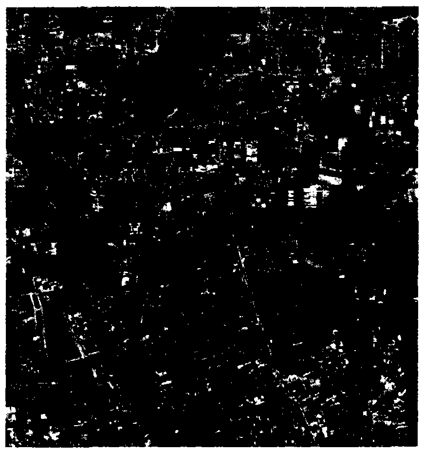
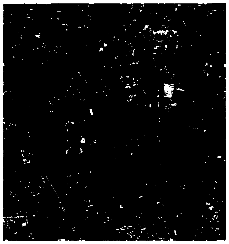
[0082] The present invention takes the ZY-1-02C image of Changping District, Beijing, as an example, to illustrate the specific implementation of the new construction map spot extraction. The shooting time of the pre-phase experimental images was October 24, 2012, and the shooting time of the post-phase experimental images was August 18, 2013. The experimental images are as follows: figure 2 , 3 shown. The present invention will be further described below in conjunction with the accompanying drawings.
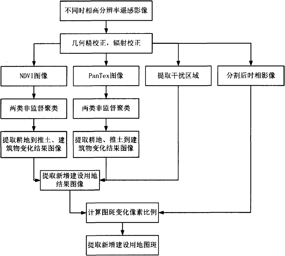
[0083] Such as figure 1 As shown, it is a flow chart of the method for automatically extracting map spots for new construction of high-resolution remote sensing images based on NDVI and PanTex index in an embodiment of the present invention. This embodiment includes the following steps:
[0084] Step 1. Perform geometric fine correction and relative radiometric correction on high-resolution remote sensing images in different time phases;
[0085] Step 2, using the multispe...
PUM
 Abstract
Description
Claims
Application Information
 - R&D
- Intellectual Property
- Life Sciences
- Materials
- Tech Scout
- Unparalleled Data Quality
- Higher Quality Content
- 60% Fewer Hallucinations
Browse by: Latest US Patents, China's latest patents, Technical Efficacy Thesaurus, Application Domain, Technology Topic, Popular Technical Reports.
© 2025 PatSnap. All rights reserved.Legal|Privacy policy|Modern Slavery Act Transparency Statement|Sitemap|About US| Contact US: help@patsnap.com


