Earthlight light pressure perturbation modeling method for navigational satellite complicated model
A technology of earth albedo and navigation satellites, applied in special data processing applications, instruments, electrical digital data processing, etc., can solve problems such as accurate modeling of earth albedo pressure perturbation, and achieve the effect of ensuring modeling accuracy
- Summary
- Abstract
- Description
- Claims
- Application Information
AI Technical Summary
Problems solved by technology
Method used
Image
Examples
Embodiment Construction
[0033] The present invention will be described in detail below in conjunction with the accompanying drawings and specific embodiments.
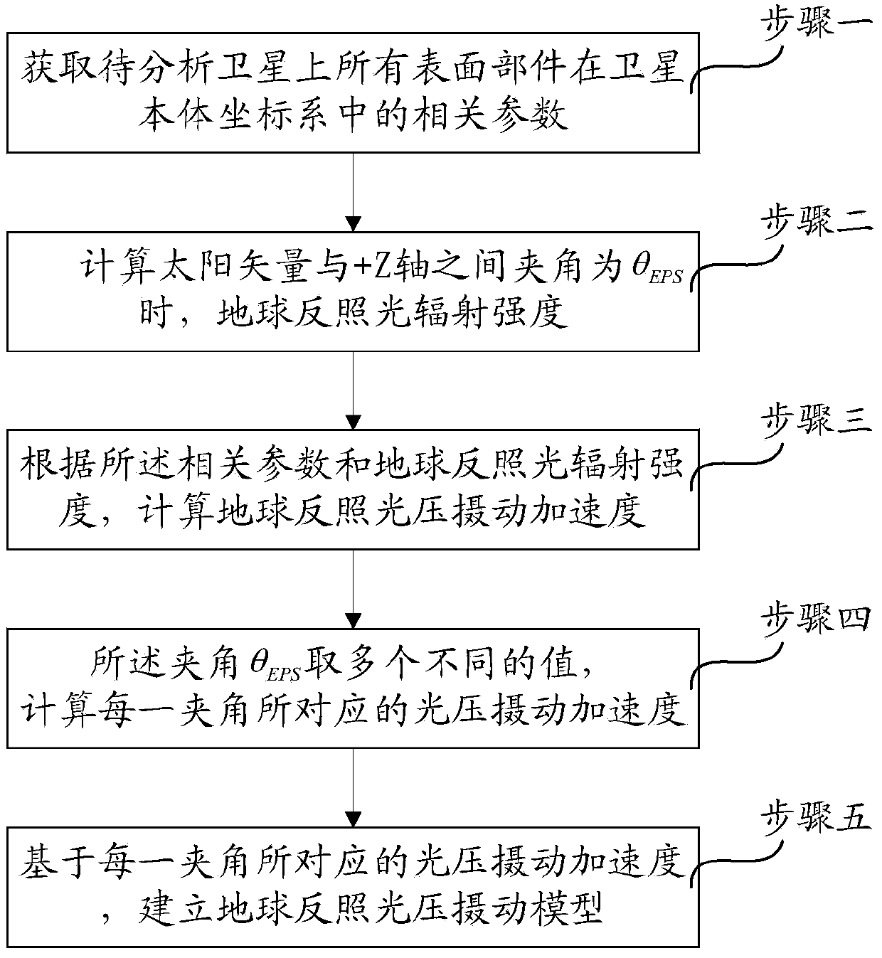
[0034] Such as figure 1 Shown, the present invention a kind of earth albedo light pressure perturbation modeling method of navigation satellite complex model, concrete steps are:
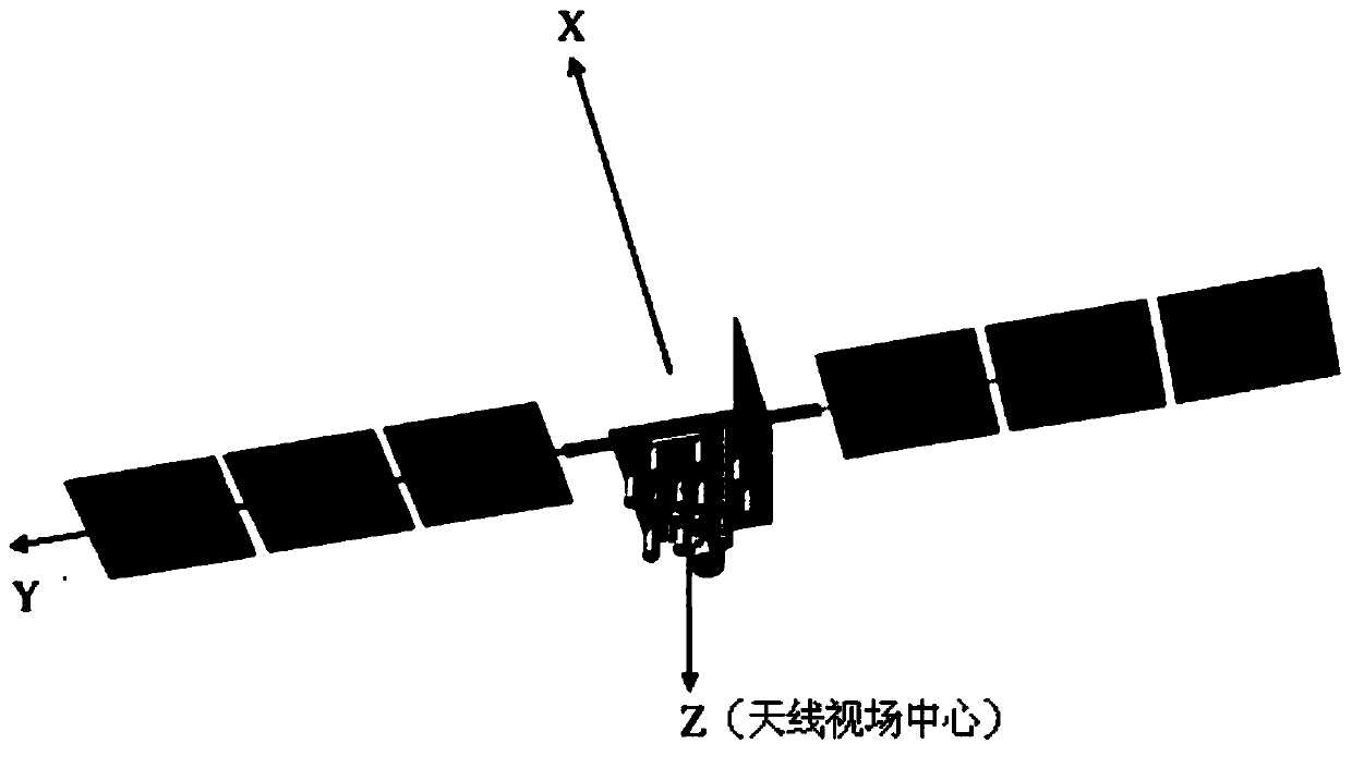
[0035] The definition of this system is: the +Z axis is the central axis of the antenna field of view, the +Y axis is along the rotation axis of a certain solar panel, and the X axis and the Z and Y axes are right-handed.
[0036] Select the satellite body coordinate system as the reference coordinate system for modeling the earth's light pressure perturbation, such as figure 2 shown; Step 2 to Step 3 are based on a certain position of the sun vector in the body coordinate system (that is, the angle between the sun vector and the body coordinate system + Z axis is θ EPS As an example, do the following modeling calculations.
[0037] Step 1. Obtain the surface t...
PUM
 Abstract
Description
Claims
Application Information
 - R&D
- Intellectual Property
- Life Sciences
- Materials
- Tech Scout
- Unparalleled Data Quality
- Higher Quality Content
- 60% Fewer Hallucinations
Browse by: Latest US Patents, China's latest patents, Technical Efficacy Thesaurus, Application Domain, Technology Topic, Popular Technical Reports.
© 2025 PatSnap. All rights reserved.Legal|Privacy policy|Modern Slavery Act Transparency Statement|Sitemap|About US| Contact US: help@patsnap.com


