Method and device for double-layer flood fill seismic horizon space automatic tracking
An automatic tracking and spatial technology, applied in seismic signal processing and other directions, can solve the problem of large memory consumption, achieve the effect of large memory consumption, improve efficiency, and take a long time
- Summary
- Abstract
- Description
- Claims
- Application Information
AI Technical Summary
Problems solved by technology
Method used
Image
Examples
Embodiment Construction
[0066] In order to make the object, technical solution and advantages of the present invention clearer, the present invention will be described in further detail below in conjunction with the embodiments and accompanying drawings. Here, the exemplary embodiments and descriptions of the present invention are used to explain the present invention, but not to limit the present invention.
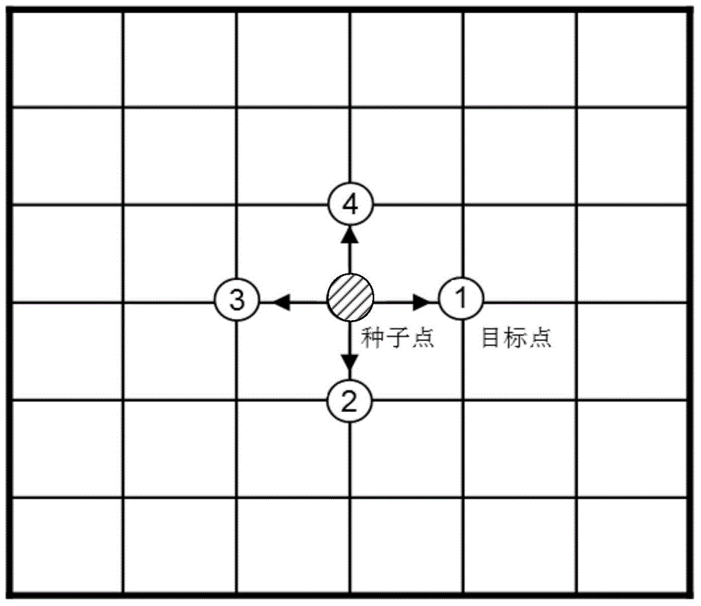
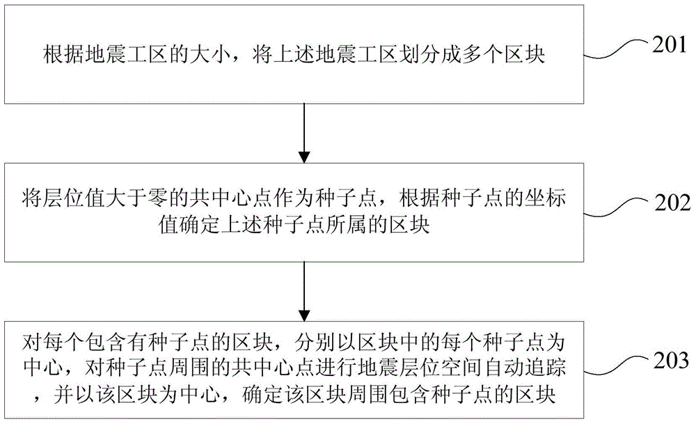
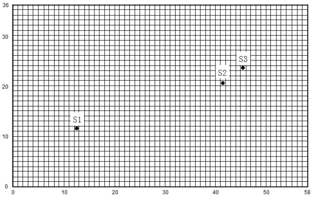
[0067] In the existing technology, especially in the automatic tracking of the seismic horizon space of a large-scale or super-large-scale 3D seismic work area, the automatic tracking of the seismic horizon space of the whole seismic work area is performed at one time, which leads to a large amount of data, resulting in large memory consumption and one-time The time-consuming problem of reading data; in the embodiment of the present invention, by dividing the seismic work area into a plurality of blocks according to the size of the data volume of the seismic work area, within the range of each b...
PUM
 Abstract
Description
Claims
Application Information
 - R&D
- Intellectual Property
- Life Sciences
- Materials
- Tech Scout
- Unparalleled Data Quality
- Higher Quality Content
- 60% Fewer Hallucinations
Browse by: Latest US Patents, China's latest patents, Technical Efficacy Thesaurus, Application Domain, Technology Topic, Popular Technical Reports.
© 2025 PatSnap. All rights reserved.Legal|Privacy policy|Modern Slavery Act Transparency Statement|Sitemap|About US| Contact US: help@patsnap.com


