An Intelligent Design Method for Farmland Consolidation and Planning Supported by Geodesign
A design method and agricultural land technology, applied in the direction of calculation, 3D modeling, geometric CAD, etc., to achieve the effect of improving utilization rate, reliable technical support, and improving the efficiency of agricultural production management
- Summary
- Abstract
- Description
- Claims
- Application Information
AI Technical Summary
Problems solved by technology
Method used
Image
Examples
Embodiment Construction
[0021] The present invention will be described in detail below with reference to the accompanying drawings and specific embodiments.
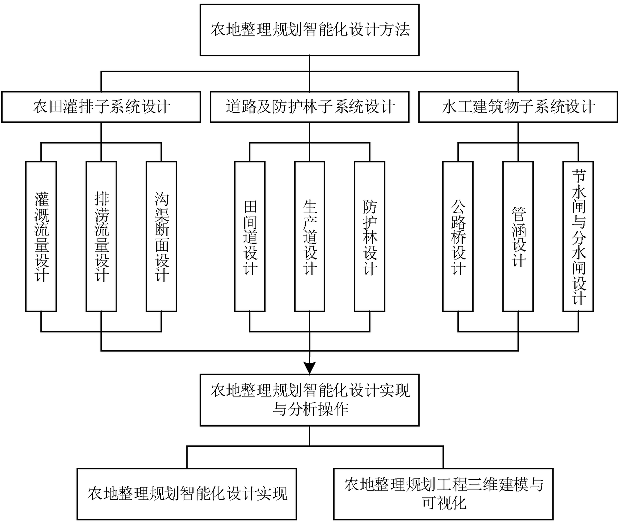
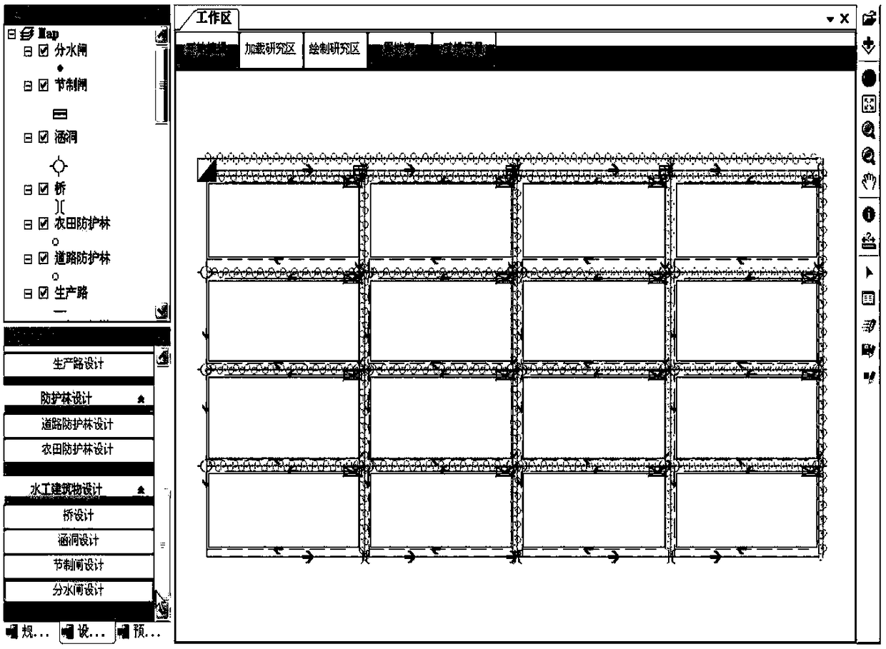
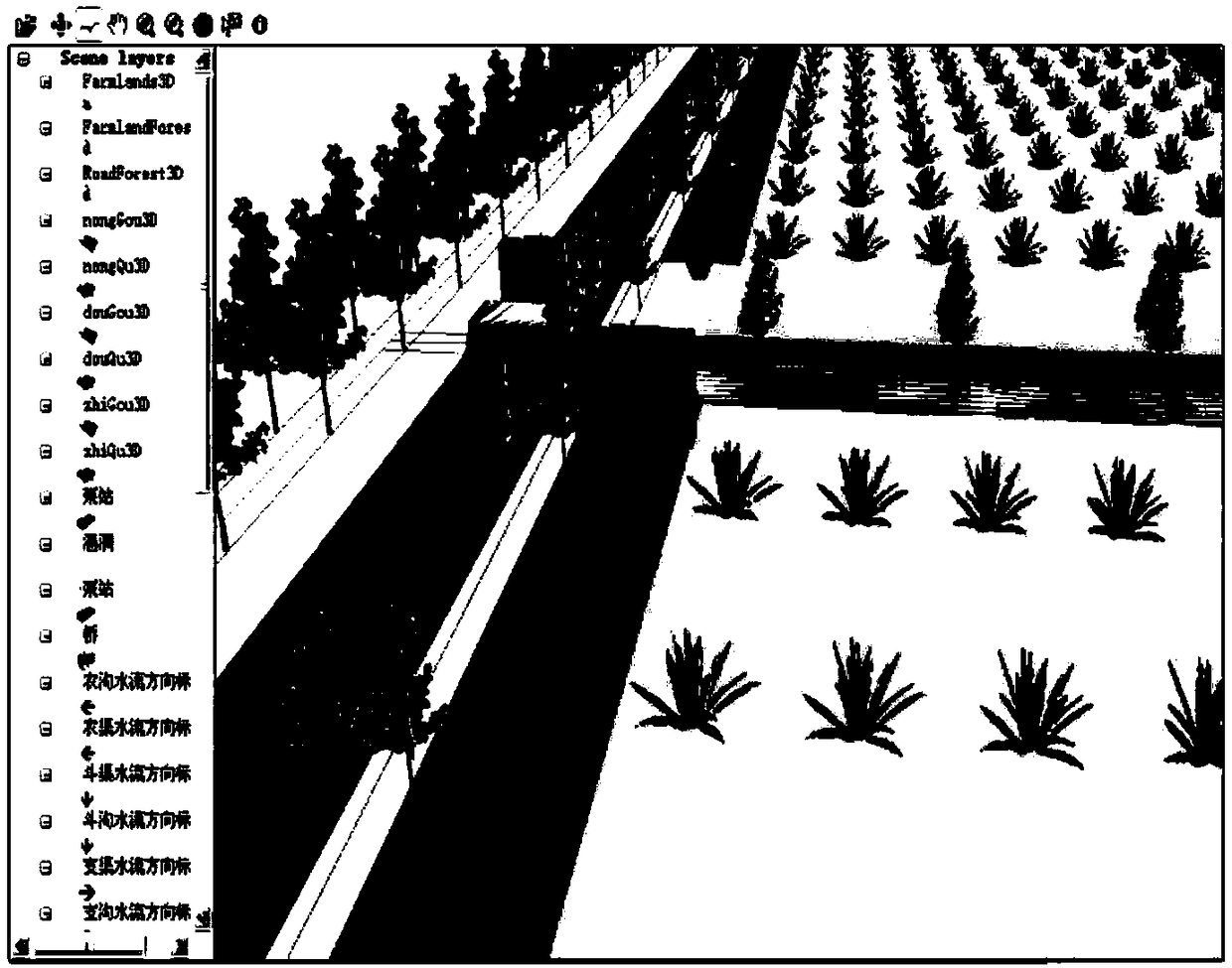
[0022] The invention takes geographic design as the guiding ideology, and comprehensively uses technologies such as GIS, data mining and knowledge discovery to extract and express geographic abstraction and relevant knowledge rules for the farmland consolidation project, and complete the farmland irrigation and drainage subsystem, water supply and drainage subsystem in the farmland consolidation plan. The parameterized setting of the sub-systems of industrial buildings, roads and shelter forests, and explore the unified organization and management methods such as spatial relationship, orientation information, attribute information, design parameters, knowledge rules, etc. Intelligent design; On this basis, the comprehensive use of GIS spatial query, spatial analysis and 3D modeling technology has realized the operation of 3D modeling and 3D visu...
PUM
 Abstract
Description
Claims
Application Information
 - R&D
- Intellectual Property
- Life Sciences
- Materials
- Tech Scout
- Unparalleled Data Quality
- Higher Quality Content
- 60% Fewer Hallucinations
Browse by: Latest US Patents, China's latest patents, Technical Efficacy Thesaurus, Application Domain, Technology Topic, Popular Technical Reports.
© 2025 PatSnap. All rights reserved.Legal|Privacy policy|Modern Slavery Act Transparency Statement|Sitemap|About US| Contact US: help@patsnap.com


