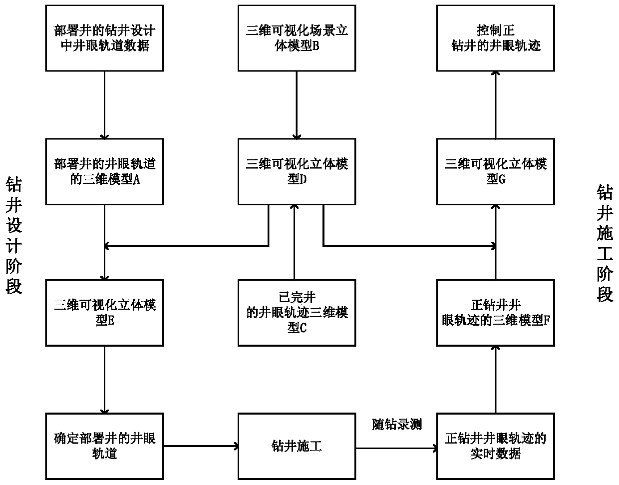
A Method of Borehole Trajectory Control Based on 3D GIS Technology
A wellbore trajectory and control method technology, which is applied to the automatic control system of drilling, wellbore/well components, directional drilling, etc., can solve the problems of scrapping, low accuracy of identifying wellbore intersections, and mutual intersection, etc., to ensure well body mass effect
- Summary
- Abstract
- Description
- Claims
- Application Information
AI Technical Summary
Problems solved by technology
Method used
Image

Examples
Embodiment 1
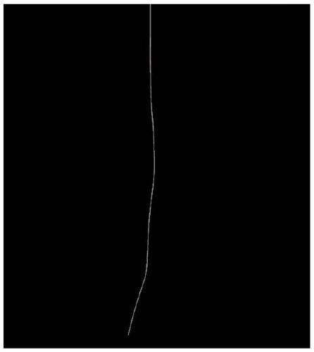
[0036] Take well X in a certain drilling area as an example, such as figure 1 As shown, the wellbore trajectory control method based on 3D GIS technology includes the following steps:
[0037] 1) According to the drilling design of well X in the drilling area, obtain the design data of the well trajectory of X well as shown in Table 1, and establish the following figure 2 The three-dimensional model A of the borehole trajectory of well X shown;
[0038] Table 1X well borehole trajectory design data
[0039]
[0040]
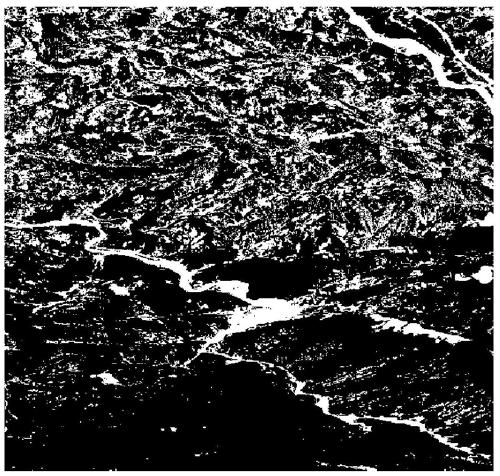
[0041] 2) According to geographic information technology and completed well trajectory information, establish a three-dimensional visualization model D of the drilling area:
[0042] a. Based on geographic information system technology, establish such image 3 The three-dimensional visualization scene stereo model B of the drilling area shown;
[0043] b. According to the completed well trajectory information in the drilling area, establish as follows ...
PUM
 Abstract
Description
Claims
Application Information
 - R&D
- Intellectual Property
- Life Sciences
- Materials
- Tech Scout
- Unparalleled Data Quality
- Higher Quality Content
- 60% Fewer Hallucinations
Browse by: Latest US Patents, China's latest patents, Technical Efficacy Thesaurus, Application Domain, Technology Topic, Popular Technical Reports.
© 2025 PatSnap. All rights reserved.Legal|Privacy policy|Modern Slavery Act Transparency Statement|Sitemap|About US| Contact US: help@patsnap.com