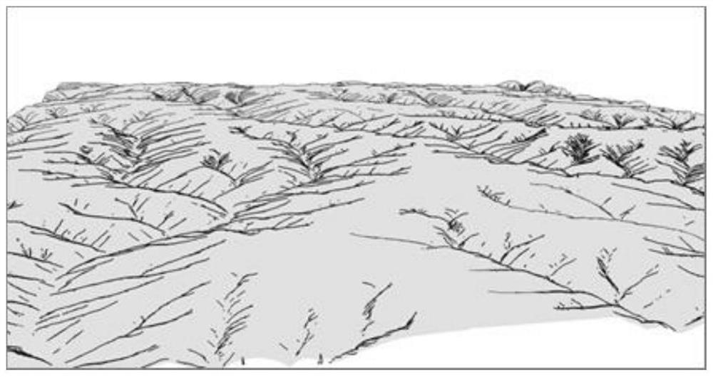
Dem-based Automatic Drawing Method of Terrain Sketch Map
An automatic drawing and sketching technology, applied in 3D modeling, image data processing, instruments, etc., can solve the problem that the terrain expression method cannot be effectively inherited, and achieve the effect of simplifying the drawing technology
- Summary
- Abstract
- Description
- Claims
- Application Information
AI Technical Summary
Problems solved by technology
Method used
Image
Examples
Embodiment Construction
[0052] The present invention will be further explained below in conjunction with the accompanying drawings and specific embodiments.
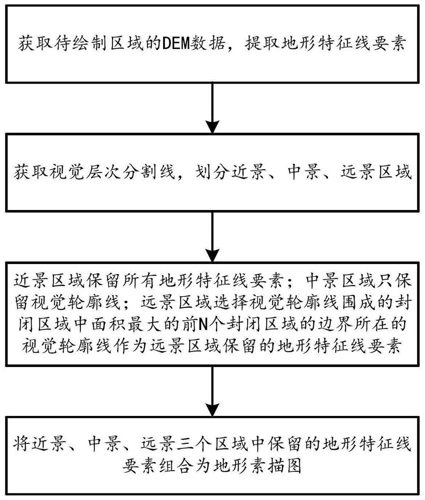
[0053] Such as figure 1 As shown, the automatic drawing method of terrain sketch map based on DEM includes the following steps:
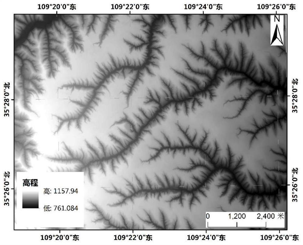
[0054] Step 1, obtain the DEM data of the topographic sketch map area to be drawn, and extract the topographic feature line elements in the topographic sketch map area according to the observation point, viewing angle and observation distance requirements of the topographic sketch map; the topographic feature line elements include visual Contour line, along the ditch, cut ditch, frontier edge, slope flow line;
[0055] DEM is the English abbreviation of Digital Elevation Model (Digital Elevation Model), which is an important original data for research and analysis of terrain, watershed, and object recognition. The principle of DEM is to divide the watershed into quadrilaterals (grid, CELL) with m rows and n columns...
PUM
 Abstract
Description
Claims
Application Information
 - R&D
- Intellectual Property
- Life Sciences
- Materials
- Tech Scout
- Unparalleled Data Quality
- Higher Quality Content
- 60% Fewer Hallucinations
Browse by: Latest US Patents, China's latest patents, Technical Efficacy Thesaurus, Application Domain, Technology Topic, Popular Technical Reports.
© 2025 PatSnap. All rights reserved.Legal|Privacy policy|Modern Slavery Act Transparency Statement|Sitemap|About US| Contact US: help@patsnap.com


