Method for establishing a photogrammetric grassland coverage measurement map library and a use method
A photographic method and grassland technology, which is applied in the interpretation of photos, still image data retrieval, still image data indexing, etc., can solve problems such as difficulty in mastering technology, inability to compare technology, unfavorable learning from each other, and technological progress, etc., to achieve good market promotion The effect of applying the foreground
- Summary
- Abstract
- Description
- Claims
- Application Information
AI Technical Summary
Problems solved by technology
Method used
Image
Examples
Embodiment 1
[0031] Taking multiple groups of photographs of a certain lawn and grassland in the measurement library as an example, the method for establishing the measurement library of grassland coverage by photography will be described in detail below.
[0032] Step 1. Take a photo of the same location of the lawn in Xiangningli, Nankai District, Tianjin. On the same day, three different shooting methods were used to take a total of three photos. The length and width of each photo are 1362mm and 880mm, and the resolution is the same. It is 4000×3000; record the shooting information of three photos:
[0033] 1) Grassland type: lawn grassland;
[0034] 2) Shooting location: Xiangningli, Nankai District, Tianjin;
[0035] 3) Shooting date: April 20, 2013;
[0036] 4) Shooting measures: Since the weather was sunny on the day of shooting, three shooting measures were used for the three photos, namely normal shooting, shooting after shading and shooting with flashlight. Finally, it is bene...
Embodiment 2
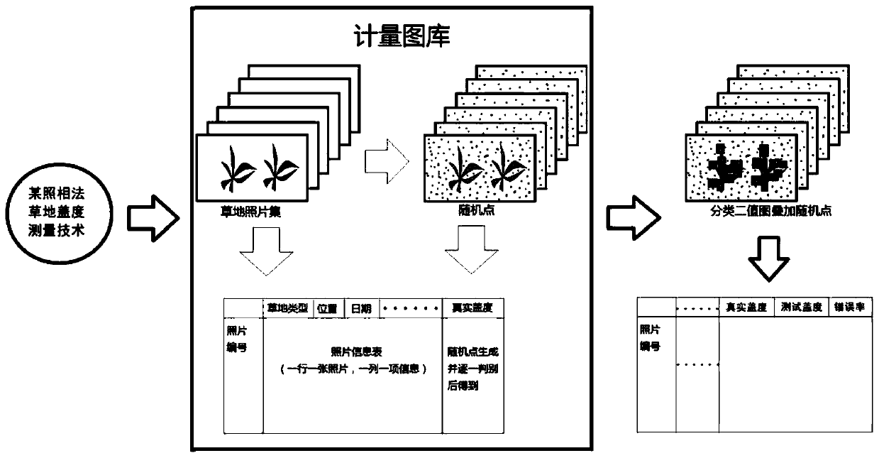
[0052] Such as figure 1 Shown is the specific method of using the photographic grassland coverage measurement library established by the above method to evaluate a certain photographic grassland coverage measurement technology UIP-MGMEP, and the steps are as follows:
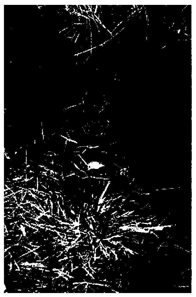
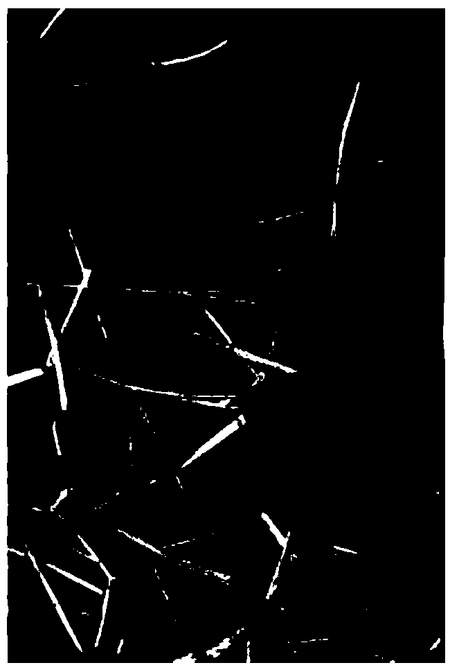
[0053]Step 1, call the three photos of lawns and grass land obtained by embodiment 1 in the metering library, as shown in Figure 4 (a), Figure 5 (a) and Figure 6 (a), use the photographic lawn coverage measurement to be measured The technology processes each photo of the grassland in turn, and the length and width of the three grassland photos shown in Figure 4(b), Figure 5(b) and Figure 6(b) are consistent, and 0 represents non- Vegetation, 1 represents the binary image assigned in the way of vegetation, count the pixel ratio of the pixel value of 1 in the binary image, and get the grassland test coverage;
[0054] After the above process, the test coverage obtained by UIP-MGMEP for the three photos of lawns a...
PUM
 Abstract
Description
Claims
Application Information
 - R&D
- Intellectual Property
- Life Sciences
- Materials
- Tech Scout
- Unparalleled Data Quality
- Higher Quality Content
- 60% Fewer Hallucinations
Browse by: Latest US Patents, China's latest patents, Technical Efficacy Thesaurus, Application Domain, Technology Topic, Popular Technical Reports.
© 2025 PatSnap. All rights reserved.Legal|Privacy policy|Modern Slavery Act Transparency Statement|Sitemap|About US| Contact US: help@patsnap.com


