An Annotation Method Based on Map Annotation Model

A technology of map annotation and annotation, applied in maps/plans/charts, geographic information databases, instruments, etc., can solve problems that affect the efficiency of cartography, lack of quantitative calculation of positions, increase the workload of map editing, etc., and achieve rich theory and technical methods, and the effect of improving drawing efficiency

Active Publication Date: 2022-03-01
CHINA UNIV OF GEOSCIENCES (BEIJING)
View PDF7 Cites 0 Cited by
  • Summary
  • Abstract
  • Description
  • Claims
  • Application Information

AI Technical Summary

Problems solved by technology

[0012] (1) Annotation rules for point, line, and area single features are to implement a rule for the entire layer, that is, if the point feature is selected to be annotated in the upper right corner, the entire layer will implement such an annotation rule, and for annotations that do not meet the requirements However, the manual intervention of the cartographer is required to select the annotation position point by point, which greatly increases the workload of map editing and seriously affects the efficiency of cartography;
[0013] (2) The map is a complex whole. Annotation rules based on point, line, and area elements only consider the selection of annotation positions of one type of feature in the same feature class (layer), which cannot solve the problem of overlaying multiple elements. , the space-occupied capping problem that occurs between annotations;
[0014] (3) There is a lack of quantitative calculation for the location of map annotations, and the optimal location of annotations is not determined by building a map annotation positioning model

Method used


Image

  • An Annotation Method Based on Map Annotation Model
  • An Annotation Method Based on Map Annotation Model
  • An Annotation Method Based on Map Annotation Model

Examples


Embodiment 1

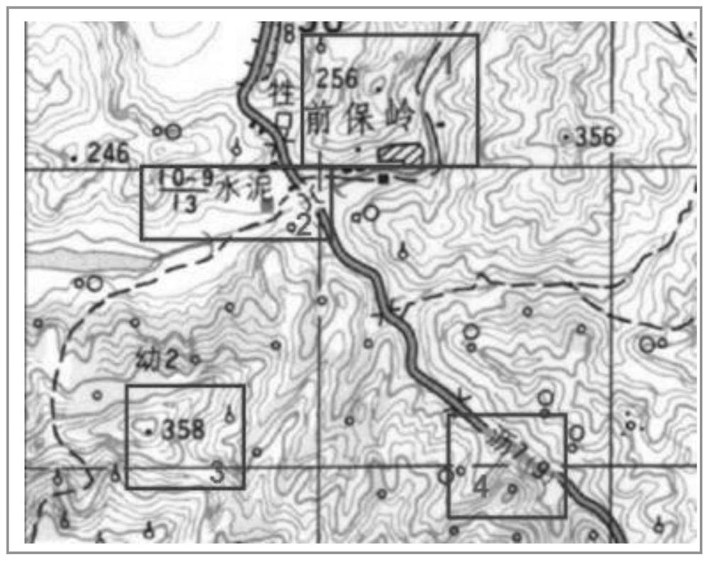
[0106] Example 1 Select part of the data in the administrative division of Nanjing City, Jiangsu Province as the experimental data for map annotation. The data include geographical elements such as rivers, lakes, provincial capital cities, county residences, township streets, and administrative districts. The types of elements cover point elements, lines, etc. There are three types of features and area features. According to the annotation scheme of the map annotation water flow model, it is divided into the following steps:

[0107] (1) Determine the annotation order

[0108] According to the division principle of layer annotation order, first calculate the area ratio of annotation content in the map, and then determine the annotation order of the map layer according to the size of the annotation area and the number of annotations. The annotation order of each layer is: streets and villages > rivers > districts and counties > provincial capitals > lakes, so the layer of vill...


PUM


Abstract

The invention discloses a map notation model and a notation method thereof, including: finally determining the flow direction, position and area of ​​the notation by controlling the map content density. Describe the optimal position of the annotation. Transform the characteristics and state of water flowing between ridges and valleys into the characteristics and state of map annotations, so that the position and density of map annotations and elements on the map can be transformed from visual perception to digital calculation in the model , to evaluate the distribution of map annotation and features. The map annotation water flow model describes the distribution and complexity of map annotations from a quantitative perspective, and accurately expresses the distribution and quantitative relationship between map annotations and elements. The invention has the advantages of: overcoming the drawbacks of the existing technology based on single-element annotation, effectively solving the problem of overlaying multi-layer annotation; realizing the balanced layout of the entire map and the equalization of map content; improving the Cartographic efficiency; enrich the theoretical and technical methods of quantitative map making.

Description

technical field [0001] The invention relates to the technical field of map notation, in particular to a notation method based on a map notation model. Background technique [0002] A map is an abstract expression of the real world by abstracting all kinds of features in reality into various symbols and notes on a two-dimensional plane or a three-dimensional space. Maps are endowed with various information through map symbols, map annotations, renderings of various colors, and mathematical elements, and people can obtain various information needed in life and production through these map contents. Among many map contents, map annotation is the map language that can most intuitively reflect map information in a space with limited map content. If a map only has graphics and symbols without any annotation information, it can only express The general concept of spatial distribution of spatial geographic regions cannot reflect the names and certain quantitative and qualitative ch...

Claims


Application Information

Patent Timeline
Patent Type & Authority Patents(China)
IPC IPC(8): G06F16/29G09B29/00
CPCG06F16/29G09B29/005
Inventor 付宗堂方坤程圆圆
Owner CHINA UNIV OF GEOSCIENCES (BEIJING)
Why Eureka
Try Eureka