Autonomous ship navigation remote monitoring method and device based on three-dimensional image

An autonomous driving and three-dimensional image technology, which is applied in image analysis, image data processing, ship traffic control, etc., can solve the problems of inability to visually display multi-dimensional information of channel water depth, single display mode of driving status information and early warning information, and achieve three-dimensional The visual effect is realistic and intuitive to display the effect of the effect

Active Publication Date: 2020-06-30
智慧航海(青岛)科技有限公司
View PDF13 Cites 9 Cited by
  • Summary
  • Abstract
  • Description
  • Claims
  • Application Information

AI Technical Summary

Problems solved by technology

[0003] Existing ship assisted driving systems display information based on two-dimensional electronic charts and radar video interfaces, which cannot visually display multi-dimensional information, driving status information and early warning information during ship navigation, such as channel water depth, ship real size, ship draft status, etc. Single display mode

Method used


Image

  • Autonomous ship navigation remote monitoring method and device based on three-dimensional image

Examples


Embodiment Construction

[0036] In order to better explain the present invention and facilitate understanding, the present invention will be described in detail below through specific embodiments in conjunction with the accompanying drawings.

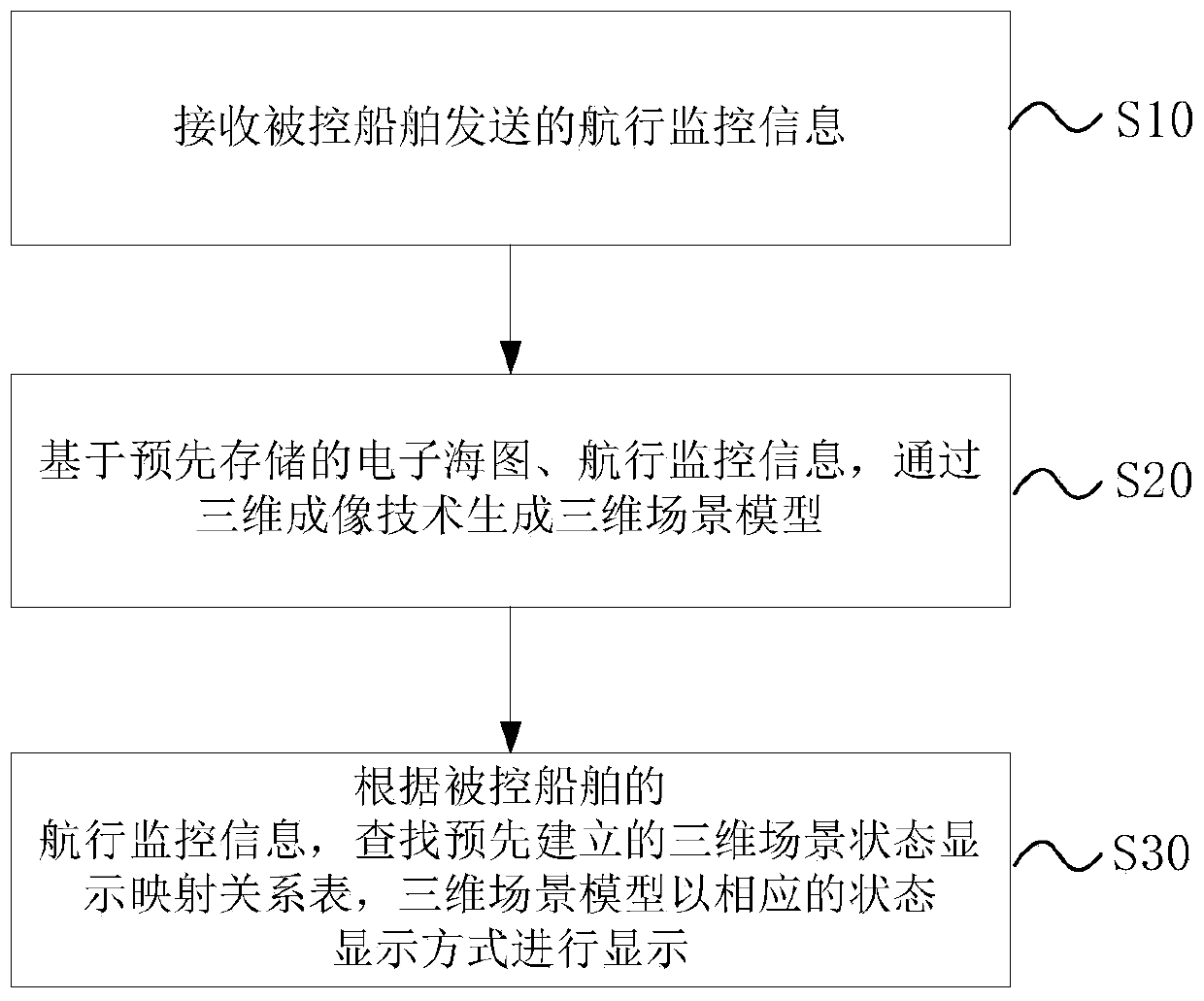
[0037] The present invention builds a three-dimensional monitoring model for autonomous ships sailing based on electronic chart data, dynamic driving information sent by autonomous ships, equipment operation information, environmental information and other ship information, such as figure 1 shown, including the following steps:

[0038] Step S10, receiving the navigation monitoring information sent by the controlled ship. The controlled ship is an autonomous ship, and the navigation monitoring information includes the dynamic driving information, equipment operation information, environmental information and other ship information within the sensing range collected by the controlled ship in real time;

[0039] Step S20, based on the pre-stored electronic chart ...


PUM


Abstract

The invention belongs to the field of ship navigation monitoring, particularly relates to an autonomous ship navigation remote monitoring method and device based on a three-dimensional image, and aimsto solve the problem that an existing method cannot visually display multi-dimensional information, driving state information and early warning information in ship navigation in a single display mode. The method comprises the following steps: receiving dynamic driving information, equipment operation information and environment information sent by a controlled ship; and generating a three-dimensional scene model based on a pre-stored electronic chart and navigation monitoring information, searching a pre-established three-dimensional scene state display mapping relation table, and displayingthe three-dimensional scene model in a state display mode of a three-dimensional scene corresponding to each piece of data in the received information. The three-dimensional scene of ship navigation is constructed, and the visual effect is vivid; dynamic display of various navigation monitoring information is provided, a more visual display effect is brought to an operator, and the operator can conveniently and quickly master ship navigation information.

Description

technical field [0001] The invention belongs to the field of ship navigation monitoring, and in particular relates to a three-dimensional image-based self-driving ship navigation remote monitoring method and device. Background technique [0002] Today's society has entered the information age, intelligence, networking, and ship-shore integration will be the development direction of ship automation in the 21st century, and highly intelligent ships are the most promising ships in the 21st century. With the development of international trade and the expansion of the world's shipping volume, the safety of ships is more important, so it is necessary to improve the safety of ships. With the development of maritime informatization, the focus of supervision has changed from post-emergency to pre-warning. As the key technology of intelligent ships, the ship's intelligent anti-collision warning technology has attracted increasing attention because it can greatly reduce maritime traff...

Claims


Application Information

Patent Timeline
Patent Type & Authority Applications(China)
IPC IPC(8): G08G3/02G06T7/90G06T17/05
CPCG08G3/02G06T17/05G06T7/90
Inventor 王晓原夏媛媛姜雨函董晓斐伯佳更
Owner 智慧航海(青岛)科技有限公司
Why Eureka
Try Eureka