Historical parcel falling method based on geocoding index and multi-source data comparison

A geocoding and multi-source data technology, applied in the field of geographic information, can solve the problems of low registration rate, poor location accuracy, and low coverage, and achieve the effect of high registration rate, high registration rate and wide coverage

Pending Publication Date: 2020-07-28
福州市勘测院有限公司
View PDF4 Cites 0 Cited by
  • Summary
  • Abstract
  • Description
  • Claims
  • Application Information

AI Technical Summary

Problems solved by technology

[0004] The present invention proposes a historical parcel settlement method based on geographic coding index and multi-source data comparison, which overcomes the shortcomings of low settlement rate, low coverage, and poor location accuracy in existing operations, and can provide a simple and easy-to-implement method , high rate of settlement and accurate location of settlement method

Method used


Image

  • Historical parcel falling method based on geocoding index and multi-source data comparison
  • Historical parcel falling method based on geocoding index and multi-source data comparison

Examples


Embodiment

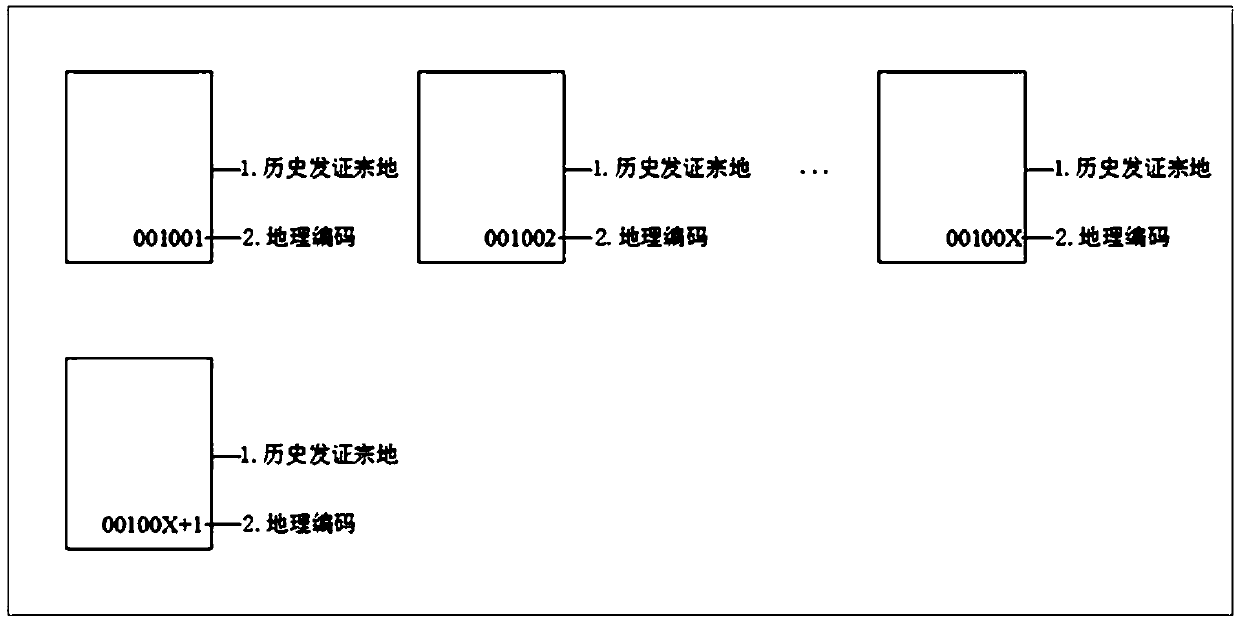
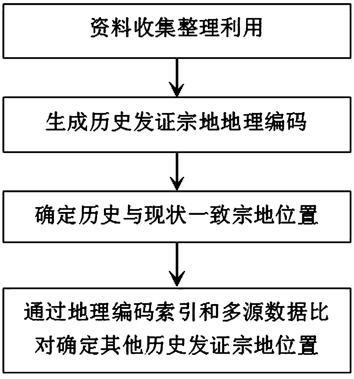
[0036] A village in Fuqing City, Fujian Province confirmed its rights, registered and issued 795 parcels of land in 1992. The historical parcel files of the village only had simple information on the length of the land and parcel number information, but no parcel map and parcel boundary point coordinate information. One household with multiple houses, the obligee is deceased, private transactions, partial demolition, demolition, refurbishment, reconstruction, and expansion are common. In order to promote the classification and disposal of "two violations" in the village, realize the confirmation of the right to use the homestead and collective construction land For the registration and issuance of certificates, it is necessary to carry out the registration of the historical land of the village, combined with figure 1 and figure 2 , to further describe the implementation of the present invention in detail.

[0037] First, collect the archives information of the village’s hist...


PUM


Abstract

The invention provides a historical parcel falling method based on geocoding index and multi-source data comparison. The method comprises the steps of A1, marking the name of the current land parcel obligee on the current topographic map; A2, generating a geographic code according to the historical issuing parcel number and segment number data; A3, on the current topographic map, according to an obligee name matching rule and a parcel creepage information matching rule, determining the parcel position where the historical issuing information of the parcel is consistent with the parcel fallingcurrent situation information; A4, judging suspected positions of historical certificate issuing parcels which do not complete parcel falling judgment in the current topographic map through indexes ofgeocoding; A5, on the current topographic map, overlapping historical age DLG or DOM data on the suspected position of the historical certificate issuing parcel, Meanwhile, performing data comparisonaccording to current parcel obligee household registration information associated with the suspected position to determine an accurate geographic position of the historical certificate issuing parcel; the invention provides a parcel dropping method which is simple, easy to implement, high in parcel dropping rate and accurate in position.

Description

technical field [0001] The invention relates to the technical field of geographic information, in particular to a historical parcel settlement method based on geographic coding index and multi-source data comparison. Background technique [0002] Confirmation, registration and certification of rural homestead and collective construction land use rights is an important measure to safeguard the legitimate rights and interests of farmers and promote the harmony and stability of rural social order. On August 10, 2014, the Ministry of Land and Resources, the Ministry of Finance, the Ministry of Housing and Urban-Rural Development, the Ministry of Agriculture, and the State Forestry Administration jointly issued a notice specifying that the confirmation, registration and certification of the use rights of homesteads and collective construction land be included in the implementation process of the unified real estate registration system . The settlement of the historical certifica...

Claims


Application Information

Patent Timeline
Patent Type & Authority Applications(China)
IPC IPC(8): G06F16/22G06F16/29G06F16/9537G06Q50/26
CPCG06F16/29G06F16/22G06F16/9537G06Q50/26
Inventor 简煊祥
Owner 福州市勘测院有限公司
Why Eureka
Try Eureka