Salinity Retrieval Method of Coastal Beach Based on Remote Sensing Satellite Images

A technology of remote sensing satellites and tidal flats, applied in the field of remote sensing, can solve problems such as inapplicability, non-openness, unfavorable extraction of tidal flat salt content, etc., and achieve the effects of improving collection efficiency, avoiding time-consuming and labor-consuming, and saving labor costs

Active Publication Date: 2021-04-06
SPEED SPACE TIME INFORMATION TECH CO LTD
View PDF3 Cites 0 Cited by
  • Summary
  • Abstract
  • Description
  • Claims
  • Application Information

AI Technical Summary

Problems solved by technology

[0009] However, at present, some remote sensing image sources are charged for downloading and are not open to the public. At the same time, technologies in related fields are all aimed at the salinity retrieval of soil and sea areas. Currently, there is no coastal beach salinity retrieval based on remote sensing images. Acting technique
At the same time, due to the variety of salinity inversion models for soil and sea areas, some involve more sensitive factors, and sometimes overfitting occurs, resulting in low accuracy of the inversion model; some sensitive factors are less, and it is not easy to be accurate inversion
Moreover, most of the methods for constructing inversion models use statistical methods. Through continuous machine learning and advanced statistics for salinity inversion, sometimes a model with high accuracy can be obtained, but due to land cover, land use pattern, soil moisture, The groundwater depth, soil type, etc. are different in different regions, and the calculated model is not applicable to all regions
[0010] Therefore, because the manual collection of tidal flat salinity is time-consuming and labor-intensive, and it is not conducive to the extraction of salinity of the entire tidal flat in a certain area, it is necessary to develop a method for inversion of coastal tidal flat salinity based on remote sensing satellite images, which can construct a feasible A high-accuracy coastal beach salinity inversion model, so as to accurately calculate and predict the salt content of coastal beaches at different locations in a study area

Method used


Image

  • Salinity Retrieval Method of Coastal Beach Based on Remote Sensing Satellite Images
  • Salinity Retrieval Method of Coastal Beach Based on Remote Sensing Satellite Images
  • Salinity Retrieval Method of Coastal Beach Based on Remote Sensing Satellite Images

Examples


Embodiment 1

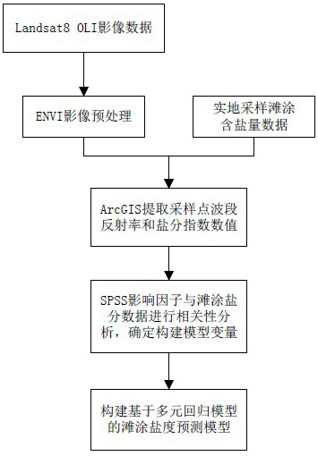
[0037] Embodiment 1: as Figure 1-6 As shown, the coastal beach salinity retrieval method based on remote sensing satellite images specifically includes the following steps:

[0038] S1: Select the data source and obtain the image data; at the same time obtain the sampled tidal flat salinity data in the area to be studied; the data source in the step S1 is the Landsat8 OLI remote sensing image; it can be directly obtained from the geospatial data cloud (http: / / www .gscloud.cn / ) download image data; Landsat8 OLI images cover 11 bands of data, land imager (OLI) includes 9 bands, thermal infrared sensor (TIRS) includes 2 thermal infrared bands; the principle of image data selection is that the image is clear No noise, less cloud cover, image imaging time and tidal flat sampling time as close as possible to ensure the best correspondence between the salinity of the sampling point and the spectrum on the image; The band introduction is shown in Table 1 below;

[0039] Table 1 Int...


PUM


Abstract

The present invention proposes a method for inversion of coastal tidal flat salinity based on remote sensing satellite images, and the specific steps are: S1 selects a data source to obtain image data; simultaneously obtains sampling tidal flat salinity data in the area to be studied; S2 pairs steps The image data in S1 is preprocessed; S3 combines the preprocessed image data in step S2 and the sample tidal flat salt content data obtained in step S1 to extract the sampling point band reflectance and salinity index value; S4 influence factor Analyze the correlation with the tidal flat salinity data to determine the variable factors for constructing the comprehensive inversion model of tidal flat salinity; S5 construct the comprehensive inversion model of tidal flat salinity based on the multiple regression model according to the variable factors obtained in step S4; Validation of the comprehensive inversion model for S6 tidal flat salinity. It realizes the calculation and prediction of the salt content in different positions of a tidal flat, which is helpful for later development and utilization, saves labor costs and improves collection efficiency.

Description

technical field [0001] The invention relates to the technical field of remote sensing, in particular to a method for retrieving coastal beach salinity based on remote sensing satellite images. Background technique [0002] Coastal tidal flats are the tidal flooding zone between the high tide level and low tidal level of the coastal spring tide. It is called "intertidal zone" in geomorphology. Due to the effect of tides, the tidal flats are sometimes submerged in water and sometimes exposed to the water surface. The upper part is often exposed. The surface of the water, and its lower part is often flooded with water. Tidal flats are an important reserve land resource in China, featuring large area, concentrated distribution, good location conditions, and great potential for comprehensive development of agriculture, animal husbandry and fishery. Developing inland, through reclamation and diversion of fresh salt, can quickly form land for agriculture, animal husbandry, fishery...

Claims


Application Information

Patent Timeline
Patent Type & Authority Patents(China)
IPC IPC(8): G01N21/47G01N21/84G06F17/18
CPCG01N21/4738G01N21/84G01N2021/1793G01N2021/4735G06F17/18
Inventor 张伟徐忠建朱必亮徐云和
Owner SPEED SPACE TIME INFORMATION TECH CO LTD
Why Eureka
Try Eureka