Urban functional area planning method
A technology for regional planning and urban functions, which is applied in image data processing, structured data retrieval, resources, etc., and can solve the problems of limited division scheme, strong subjectivity, and poor timeliness.
- Summary
- Abstract
- Description
- Claims
- Application Information
AI Technical Summary
Problems solved by technology
Method used
Image
Examples
Embodiment Construction
[0025] In order to make the above objects, features and advantages of the present invention more comprehensible, specific embodiments of the present invention will be described in detail below in conjunction with the accompanying drawings.
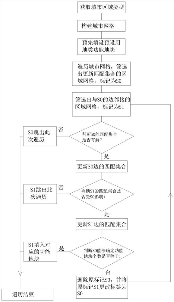
[0026] A method for urban functional area planning, comprising the steps of:
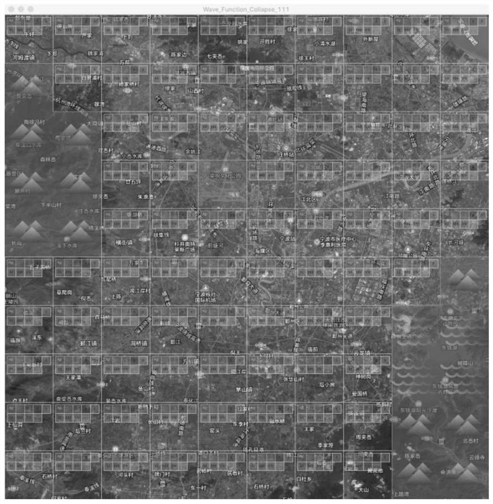
[0027] Step 1. Obtain the type of urban area. The type of urban area includes preset land use and non-preset land use. The preset land use and non-preset land use include several functional plots with different functions. Each side of the functional plot has a matching attribute; the functional plots of the preset land use category in this specific embodiment include mountains, water, and historical urban areas, and the functional plots of the non-preset land use category include factory areas, residential areas, and commercial areas. ; The functional plot of this specific embodiment adopts a quadrilateral. For this reason, the functional plot representing the m...
PUM
 Abstract
Description
Claims
Application Information
 - R&D
- Intellectual Property
- Life Sciences
- Materials
- Tech Scout
- Unparalleled Data Quality
- Higher Quality Content
- 60% Fewer Hallucinations
Browse by: Latest US Patents, China's latest patents, Technical Efficacy Thesaurus, Application Domain, Technology Topic, Popular Technical Reports.
© 2025 PatSnap. All rights reserved.Legal|Privacy policy|Modern Slavery Act Transparency Statement|Sitemap|About US| Contact US: help@patsnap.com


