Navigation device, map displaying method and image display device

a map display and navigation device technology, applied in the direction of navigation instruments, static indicating devices, instruments, etc., can solve the problems of not yet achieving desired effects, user may not accurately recognize the intersection where the vehicle is located, and it is not convenient to see the traveling route to the destination, etc., to achieve effective display of detailed maps

Inactive Publication Date: 2005-10-11
SONY CORP +1
View PDF12 Cites 72 Cited by
  • Summary
  • Abstract
  • Description
  • Claims
  • Application Information

AI Technical Summary

Benefits of technology

[0014]Thus, it is an object of this invention to provide a navigation device which can effectively display the detailed map and the wide-area map even in the case of the two-screen display. It is another object of this invention to provide a map displaying method suitable for such a navigation device.

Problems solved by technology

However, the one-screen display only provides information of an area relatively close to the vehicle and therefore it is not convenient for seeing the traveling route to the destination.
However, the user may not accurately recognize an intersection where the vehicle is to turn.
However, it has not yet achieved desired effects for the following reason.
The advantages of the detailed map and the wide-area map cannot be exhibited sufficiently and the position of the vehicle carrying the navigation device may not be grasped accurately.

Method used


Image

  • Navigation device, map displaying method and image display device
  • Navigation device, map displaying method and image display device
  • Navigation device, map displaying method and image display device

Examples


Embodiment Construction

[0039]A preferred embodiment of this invention will now be described in detail with reference to the attached drawings.

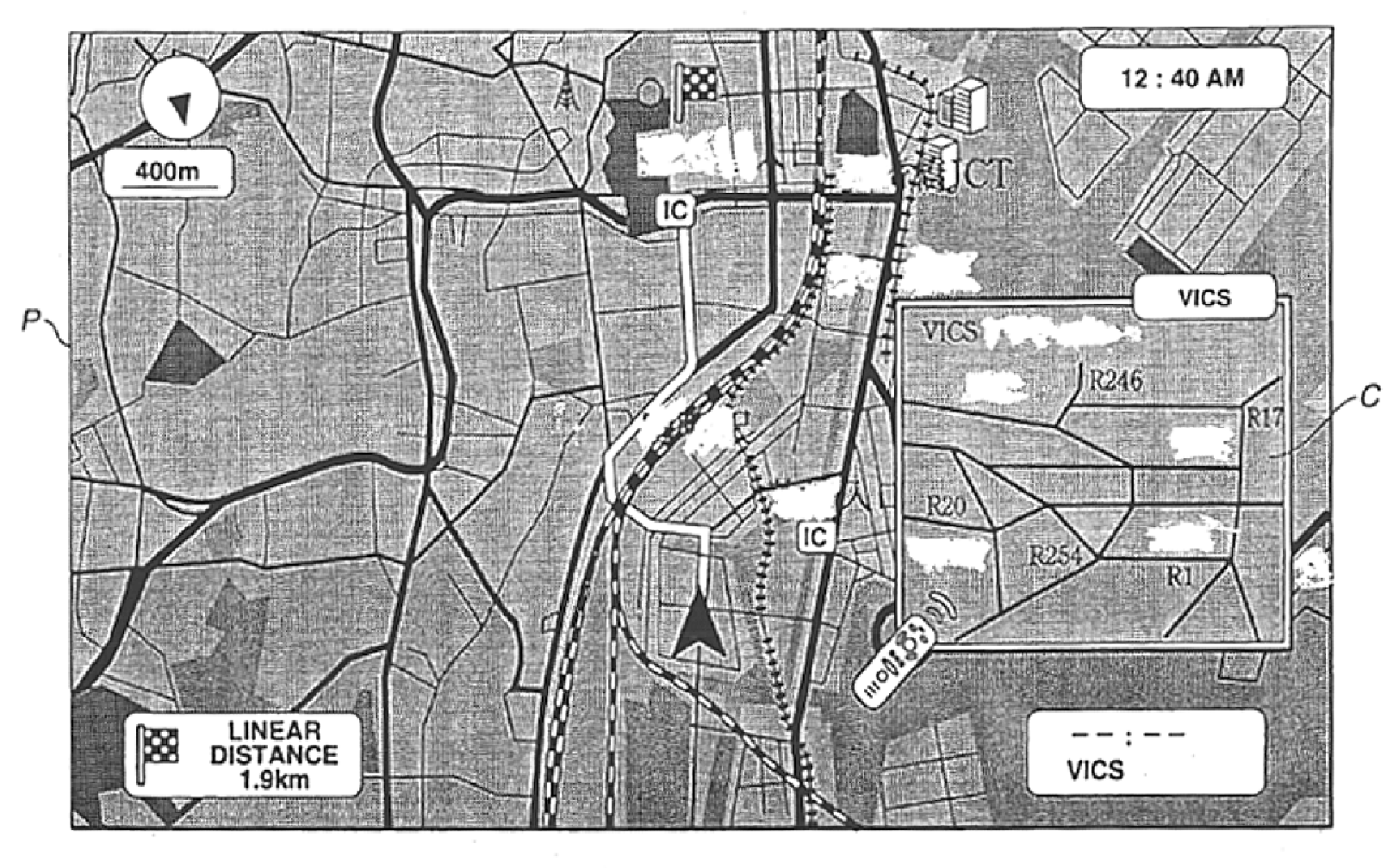
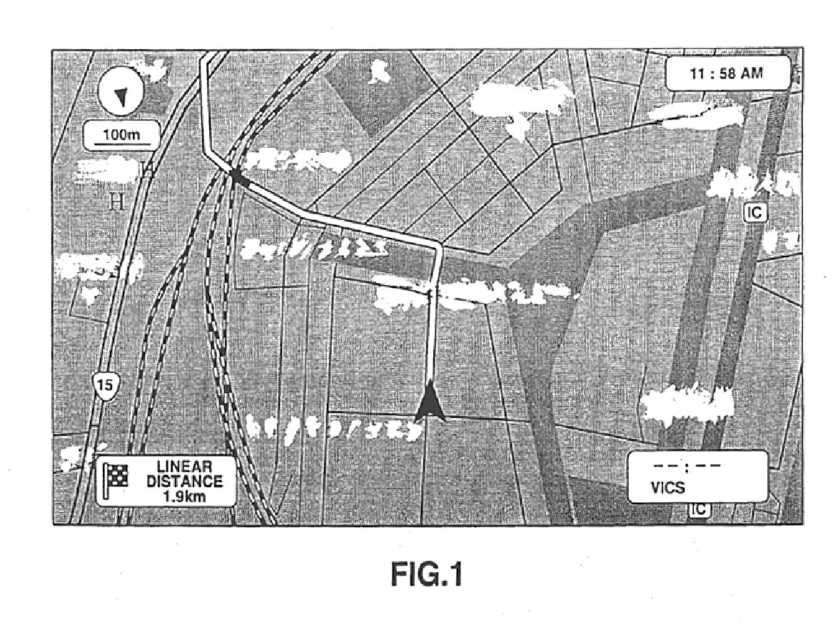
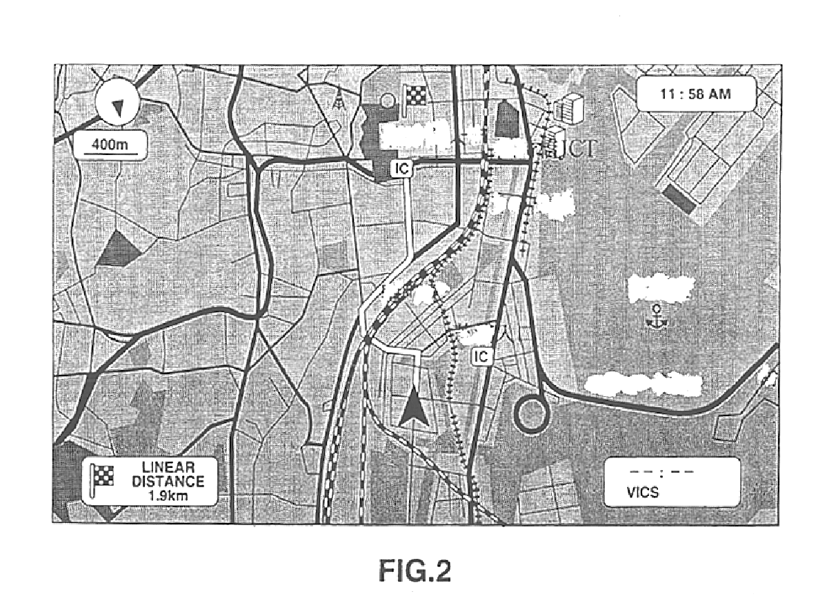
[0040]FIG. 4 is a block diagram for explaining the overall structure of a navigation device (image display device) 1 of this embodiment.

[0041]As shown in FIG. 4, the navigation device 1 of this embodiment has the following constituent elements: a speaker 11 for outputting guidance sounds; an operating unit 12 including a remote controller and a control panel; a communication terminal 13 as communication means for connecting to the Internet or the like; a disc drive 14 for carrying a recording disc (map data storage unit) such as CD-ROM (compact disc read-only memory) or DVD-ROM (digital versatile disc read-only memory) on which map data of a predetermined wide area is stored; a display unit (display means) 15 made up of a monitor such as a liquid crystal display for displaying a map image or the like; a positioning block 16 for positioning its vehicle; a control blo...


PUM


Abstract

A navigation device simultaneously displays two screens of maps on a common display unit and includes a map data storage unit for storing map data and a resolution conversion unit for converting the resolution of the map data acquired from the map data storage unit. The display unit has a predetermined display area for displaying a map based on the map data with its resolution having been converted.

Description

BACKGROUND OF THE INVENTION[0001]1. Field of the Invention[0002]This invention relates to a navigation device, a map displaying method and an image display device with excellent operability.[0003]2. Description of the Related Art[0004]Recently, navigation devices which can find their own positions and traveling speeds in real time by using GPS (Global Positioning System) satellites orbiting up in the skies have been becoming popularized for being carried on a mobile unit such as an automobile or for portable use.[0005]In a navigation device, a map based on electronic map data is displayed on its monitor. Particularly, a navigation device for being carried on a mobile unit has a function to guide in a traveling direction based on a route set by a user.[0006]When setting a route, the user designates at least a starting point and a destination. Then, the navigation device searches for and generates an optimum route connecting the designated starting point and destination, and presents ...

Claims


Application Information

Patent Timeline
Patent Type & Authority Patents(United States)
IPC IPC(8): G01C21/34G01C21/36G01C21/00G09B29/00G06T11/60G08G1/0969G09B29/10G09G5/14G09G5/36
CPCG01C21/367G09B29/106
Inventor IHARA, KOJIKURIBAYASHI, ATSUSHIYAMAMOTO, TATSUYASAHARA, HITOMITSUKADA, TAKESHIWATANABE, YOSHINORI
Owner SONY CORP
Why Eureka
Try Eureka