

Extraction and rendering techniques for digital charting database
- Summary
- Abstract
- Description
- Claims
- Application Information
AI Technical Summary
Benefits of technology
Problems solved by technology
Method used
Image

Examples
Embodiment Construction
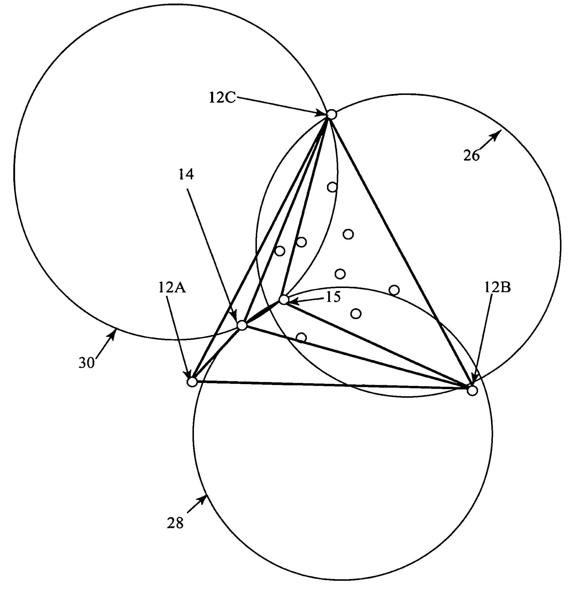
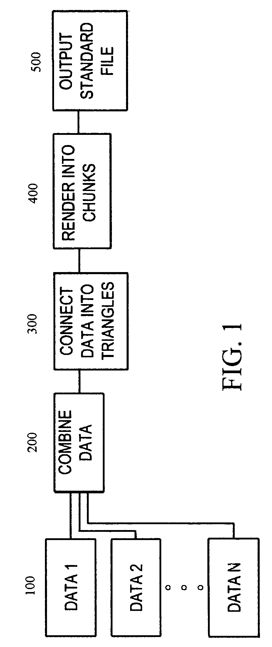
[0021]The present invention is a method for extracting and rendering data from digital charting databases. The method is readily implemented in software form for use on a conventional computer workstation with an appropriate operating system. The computer workstation may be, for example, a conventional personal computer with standard internal components (e.g. a microprocessor with peripheral chipset mounted on an appropriate motherboard). Of course, other more or less powerful computer systems can be used, but it is suggested that the computer system meet the minimum system requirements for intense video applications such as gaming. The user interface is preferably a conventional color monitor and standard input devices such as a keyboard and mouse. The operating system is preferably LINUX 9.0 based or another operating adaptive and known to those skilled in the art. The software of the present invention may be compressed onto one or more installation disks and may be loaded onto a ...
PUM
 Abstract
Description
Claims
Application Information