Chart specific navigation plotter and method for inexpensive production thereof
a plotter and chart technology, applied in the field of chart specific navigation plotters, can solve the problems of unavoidable east-west stretching of the chart, affecting the accuracy of the plotter, and progressively shortening the degree of longitud
- Summary
- Abstract
- Description
- Claims
- Application Information
AI Technical Summary
Benefits of technology
Problems solved by technology
Method used
Image
Examples
Embodiment Construction
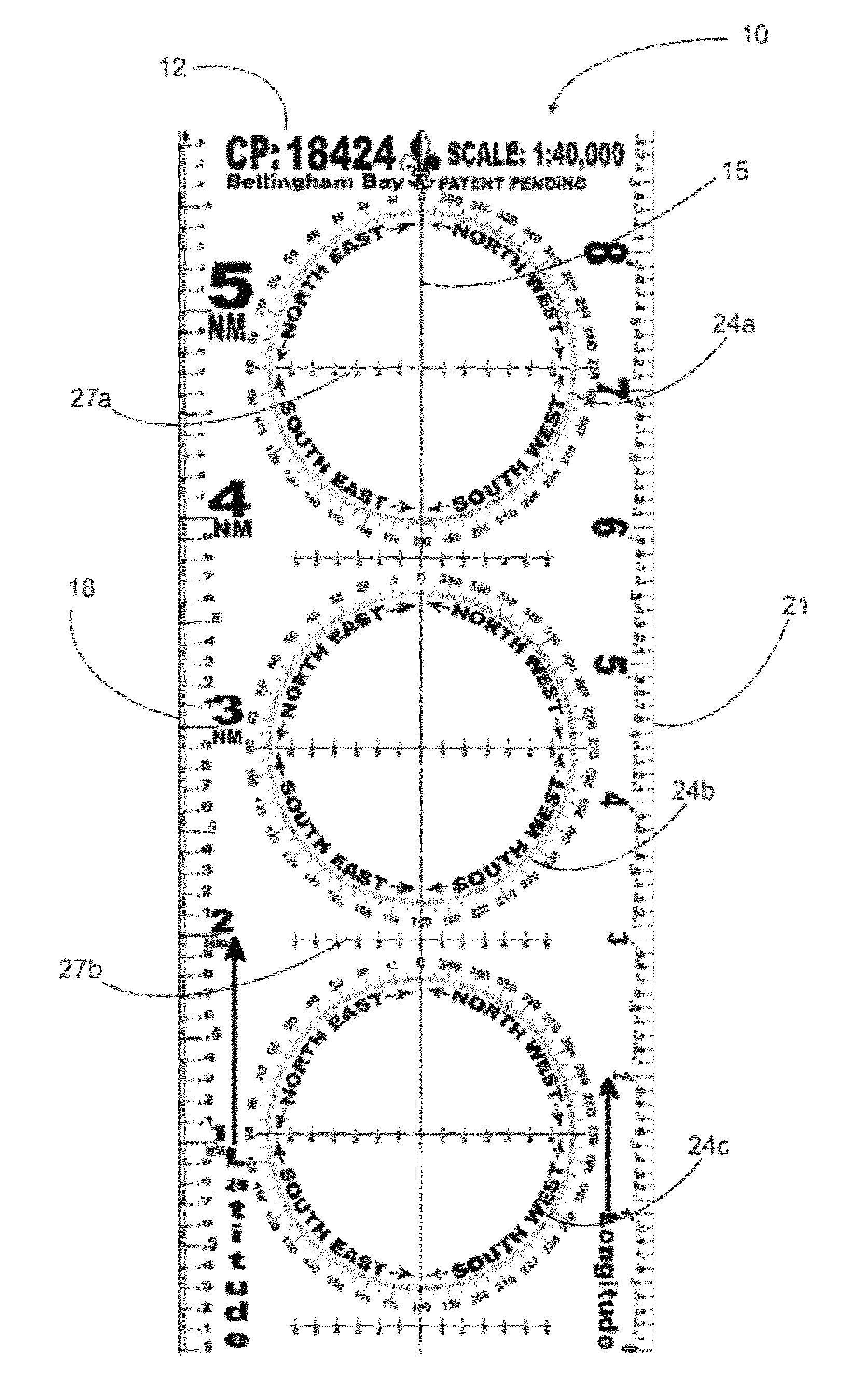
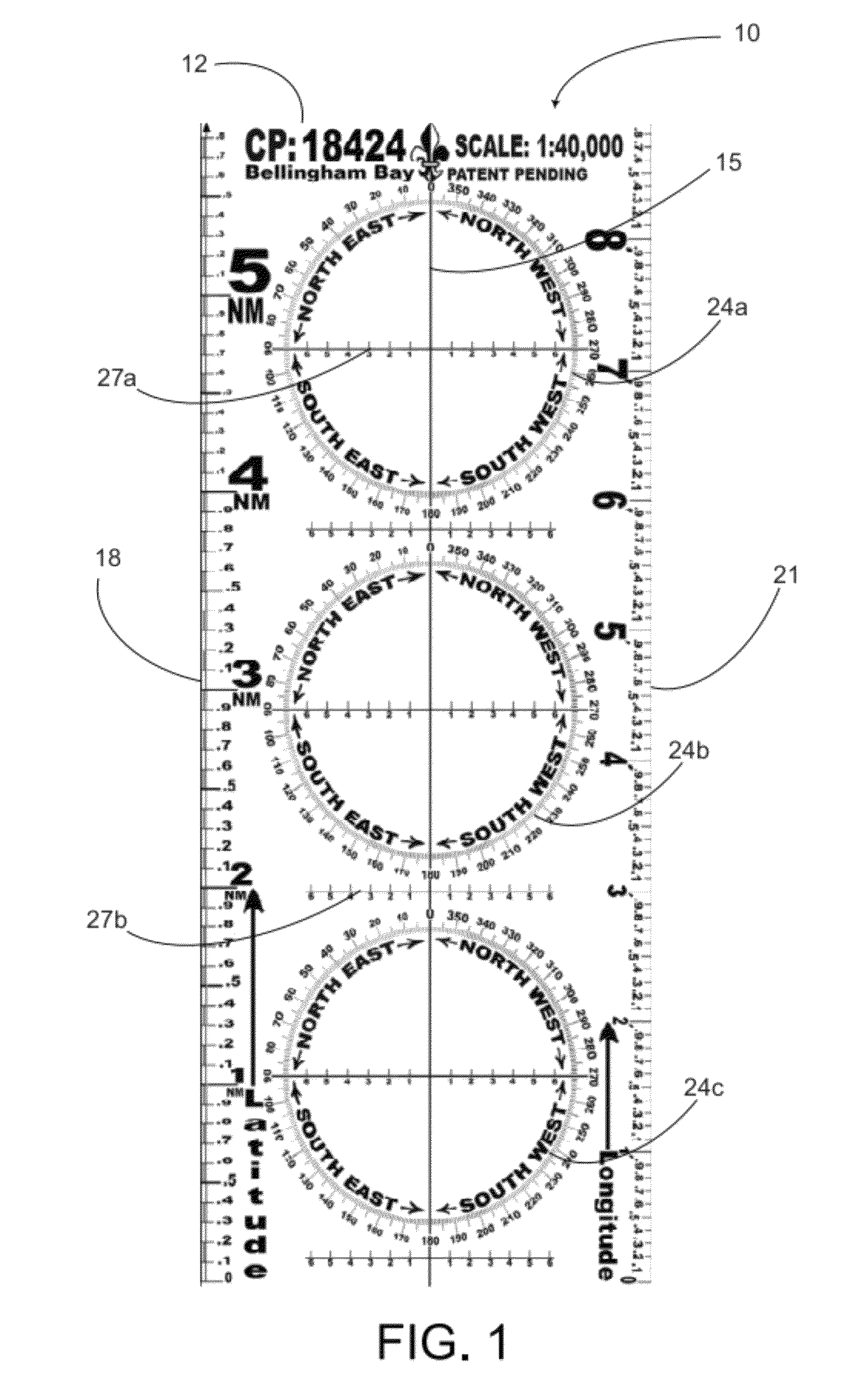
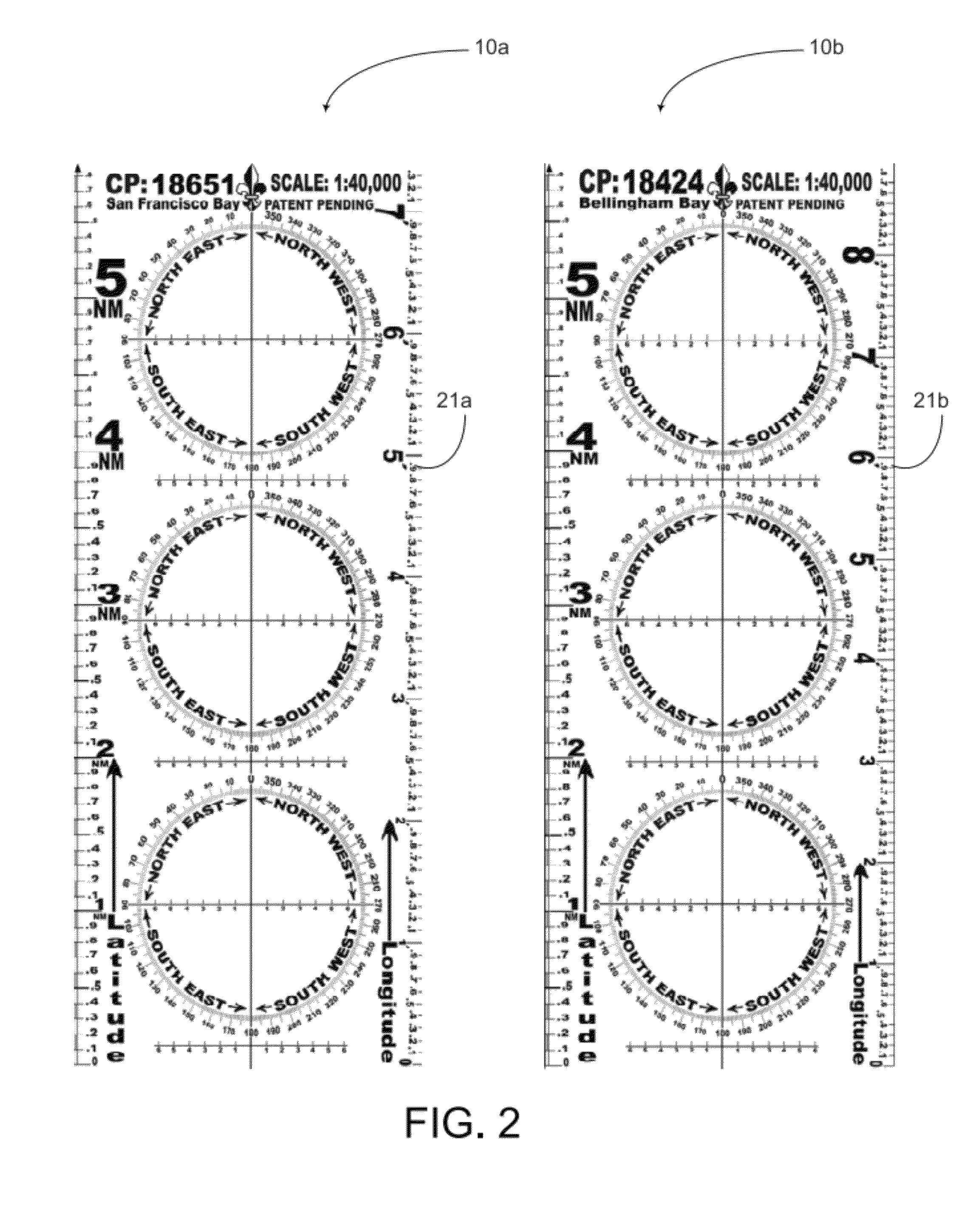
[0031]FIG. 1 depicts an inventive plotter 10 which comprises a legend 12 indicating the particular chart name and number as that chart is enumerated in the NOAA catalogue of navigation charts. NOAA is responsible for providing nautical charts for most of the nation, with a suite of over 1000 charts encompassing the coasts of the U.S., the Great Lakes, and the U.S. territories. The National Geospatial-Intelligence Agency (formerly NIMA) is responsible for producing deep water and charts in foreign waters. The U.S. Army Corps of Engineers produces charts on the Mississippi River and other inland waterways. For foreign waters, other local authorities produce suitable charts that will facilitate the use of the plotter equally. While this embodiment of the invention is configured to correspond to the NOAA catalogue of charts, there is nothing in the nature of the invention which is inherently limited to the NOAA catalogue. Any reference to the catalogue of charts is not strictly limited ...
PUM
 Abstract
Description
Claims
Application Information
 - R&D
- Intellectual Property
- Life Sciences
- Materials
- Tech Scout
- Unparalleled Data Quality
- Higher Quality Content
- 60% Fewer Hallucinations
Browse by: Latest US Patents, China's latest patents, Technical Efficacy Thesaurus, Application Domain, Technology Topic, Popular Technical Reports.
© 2025 PatSnap. All rights reserved.Legal|Privacy policy|Modern Slavery Act Transparency Statement|Sitemap|About US| Contact US: help@patsnap.com


