

Crossing enlarged map display device
A technology of map display and intersection, applied to road network navigators, maps/plans/charts, instruments, etc., can solve problems such as displayed or not displayed
- Summary
- Abstract
- Description
- Claims
- Application Information
AI Technical Summary
Problems solved by technology
Method used
Image

Examples
Embodiment Construction
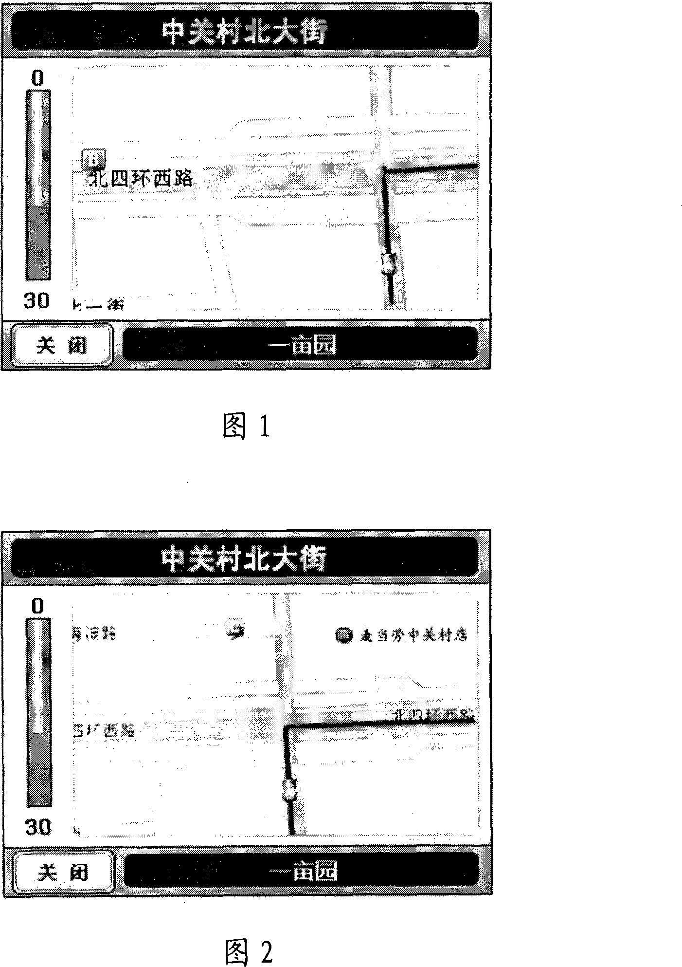
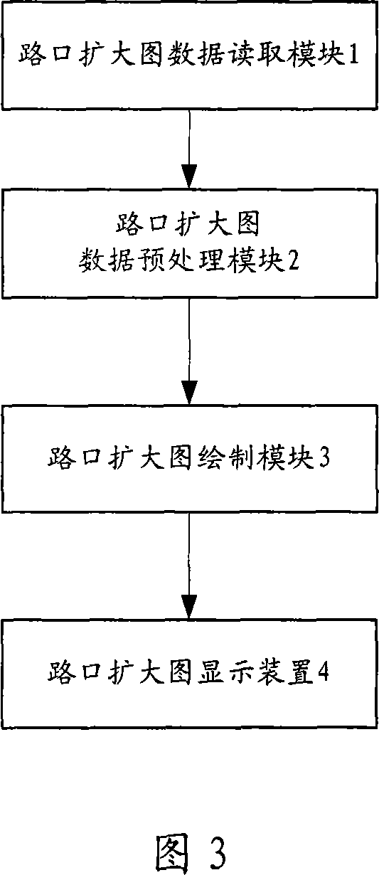
[0025] As shown in Figure 3, the display device for enlarged crossing diagram of the present invention includes:
[0026] Intersection enlarged map data reading module 1 is used to read the map data of the electronic map into the memory; this module is the basis for other modules to operate, because other modules need to operate according to the corresponding data.
[0027] The intersection enlarged map data preprocessing module 2 is used to convert the geographic coordinates in the basic map data into corresponding screen coordinates through POI weight analysis and intersection diameter analysis. The intersection enlarged map data preprocessing module 2 provides corresponding drawing data to the intersection enlarged map drawing module 3 .
[0028] Intersection enlarged map drawing module 3, used to draw the intersection enlarged map through the drawing of background, road, guide line, poi information layer respectively according to the data obtained by said intersection enla...
PUM
 Abstract
Description
Claims
Application Information