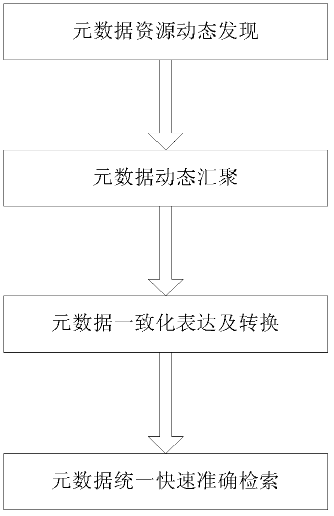
An automatic aggregation method of spatial science data metadata for global change research
A space science, global change technology, applied in the field of global change research and information technology, to achieve the effect of solving the problem of automatic aggregation of metadata
- Summary
- Abstract
- Description
- Claims
- Application Information
AI Technical Summary
Problems solved by technology
Method used
Image
Examples
Embodiment Construction
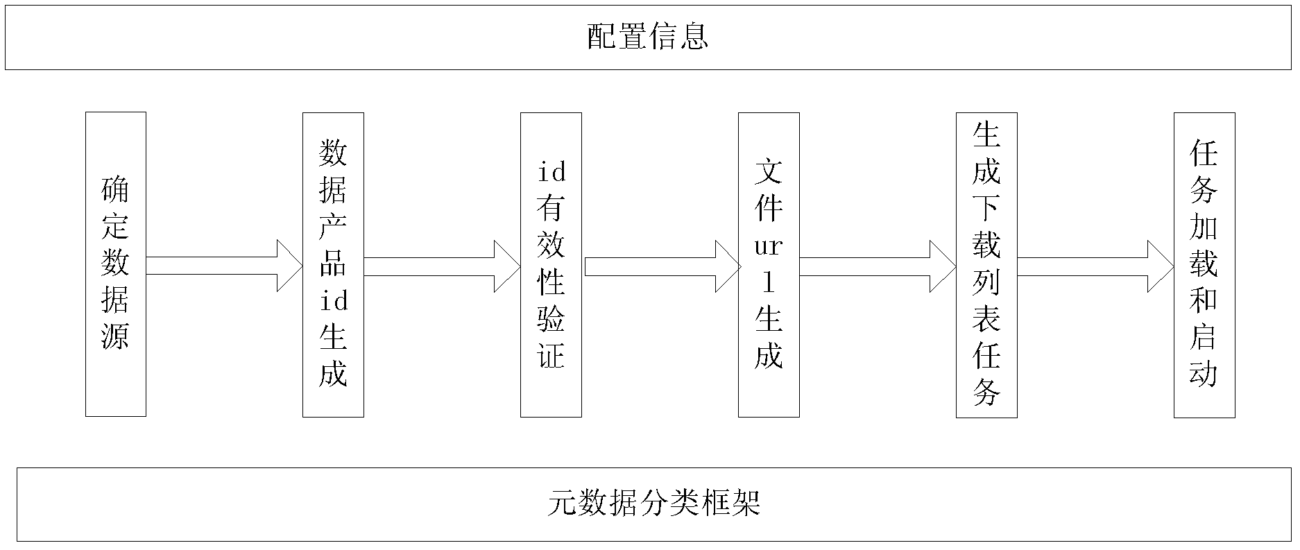
[0032] The implementation of the present invention will be described below by taking landsat data as an example.
[0033] First, organize the address of the data website for the specific data source that needs to be aggregated (for example, the address of landsat’s data website is http: / / glovis.usgs.gov / ) and the type of data product that needs to be aggregated (such as LANDSAT-7 SLC_off).
[0034] Next, the server generates a list of potentially valid data product ids based on the landsat data product type, year, and number of days. The landsat data product id is a string in the format: LXSPPPRRRRYYYYDDDGSIVV, where the meaning of each bit is:
[0035] L- indicates Landsat data.
[0036] X- indicates the product type (M for MSS, T for TM, E for ETM+).
[0037] S- means satellite (1, 2, 3, 4, 5, 7).
[0038] PPP-Indicates WRS channel. The global range is 001-251, and the Chinese range is 114-151.
[0039] RRR - Indicates the WRS column. The global range is 001-248, and th...
PUM
 Abstract
Description
Claims
Application Information
 - R&D
- Intellectual Property
- Life Sciences
- Materials
- Tech Scout
- Unparalleled Data Quality
- Higher Quality Content
- 60% Fewer Hallucinations
Browse by: Latest US Patents, China's latest patents, Technical Efficacy Thesaurus, Application Domain, Technology Topic, Popular Technical Reports.
© 2025 PatSnap. All rights reserved.Legal|Privacy policy|Modern Slavery Act Transparency Statement|Sitemap|About US| Contact US: help@patsnap.com


