Unmanned helicopter flight track planning method
An unmanned helicopter and flight track technology, applied in three-dimensional position/channel control and other directions, can solve the problems of cumbersome process, time-consuming modification, low convenience of use, etc., and achieve the effect of strong interactivity, convenient operation and fast planning speed.
- Summary
- Abstract
- Description
- Claims
- Application Information
AI Technical Summary
Problems solved by technology
Method used
Image
Examples
Embodiment Construction
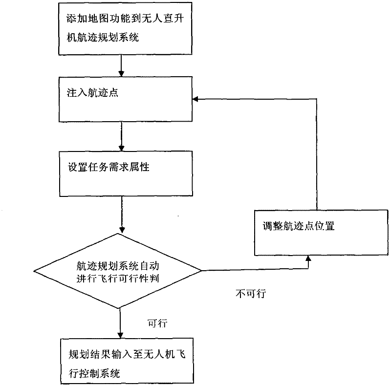
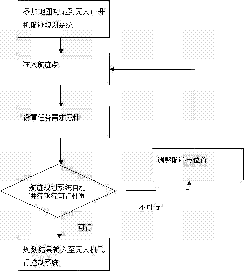
[0016] The present invention will be described in further detail below. A flight track planning method for an unmanned helicopter, which uses a map drawing control to add map functions to the track planning application, and realizes determining track points on a high-precision digital map by clicking with a mouse and modifying the track by dragging a mouse. track point, and the helicopter-specific flight performance such as hovering characteristics is considered in the planning constraints. The method includes the following steps:
[0017] (1) Add the map function to the unmanned helicopter track planning system by using the map drawing control;
[0018] (2) According to the target requirements, click on the corresponding position on the digital map to determine the track point. If you need to adjust its position, drag it directly to another position;
[0019] (3) Set mission requirement attributes for track points, including hovering points, transition points, and passing p...
PUM
 Abstract
Description
Claims
Application Information
 - R&D
- Intellectual Property
- Life Sciences
- Materials
- Tech Scout
- Unparalleled Data Quality
- Higher Quality Content
- 60% Fewer Hallucinations
Browse by: Latest US Patents, China's latest patents, Technical Efficacy Thesaurus, Application Domain, Technology Topic, Popular Technical Reports.
© 2025 PatSnap. All rights reserved.Legal|Privacy policy|Modern Slavery Act Transparency Statement|Sitemap|About US| Contact US: help@patsnap.com


