
Information camouflage and reduction method applied to digital elevation model (DEM)

A digital elevation model and information camouflage technology, which is applied in digital data protection and other fields, can solve the problems of low efficiency of camouflage technology and inappropriate large-scale data processing

Inactive Publication Date: 2013-05-15
THE PLA INFORMATION ENG UNIV
View PDF0 Cites 4 Cited by
  • Summary
  • Abstract
  • Description
  • Claims
  • Application Information

AI Technical Summary

Problems solved by technology

[0006] The purpose of the present invention is to provide a fast information camouflage and restoration method suitable for digital elevation models to solve the problems of low efficiency of existing camouflage technology and unsuitability for large-scale data processing

Method used


Image

  • Information camouflage and reduction method applied to digital elevation model (DEM)
  • Information camouflage and reduction method applied to digital elevation model (DEM)
  • Information camouflage and reduction method applied to digital elevation model (DEM)

Examples


Embodiment 1

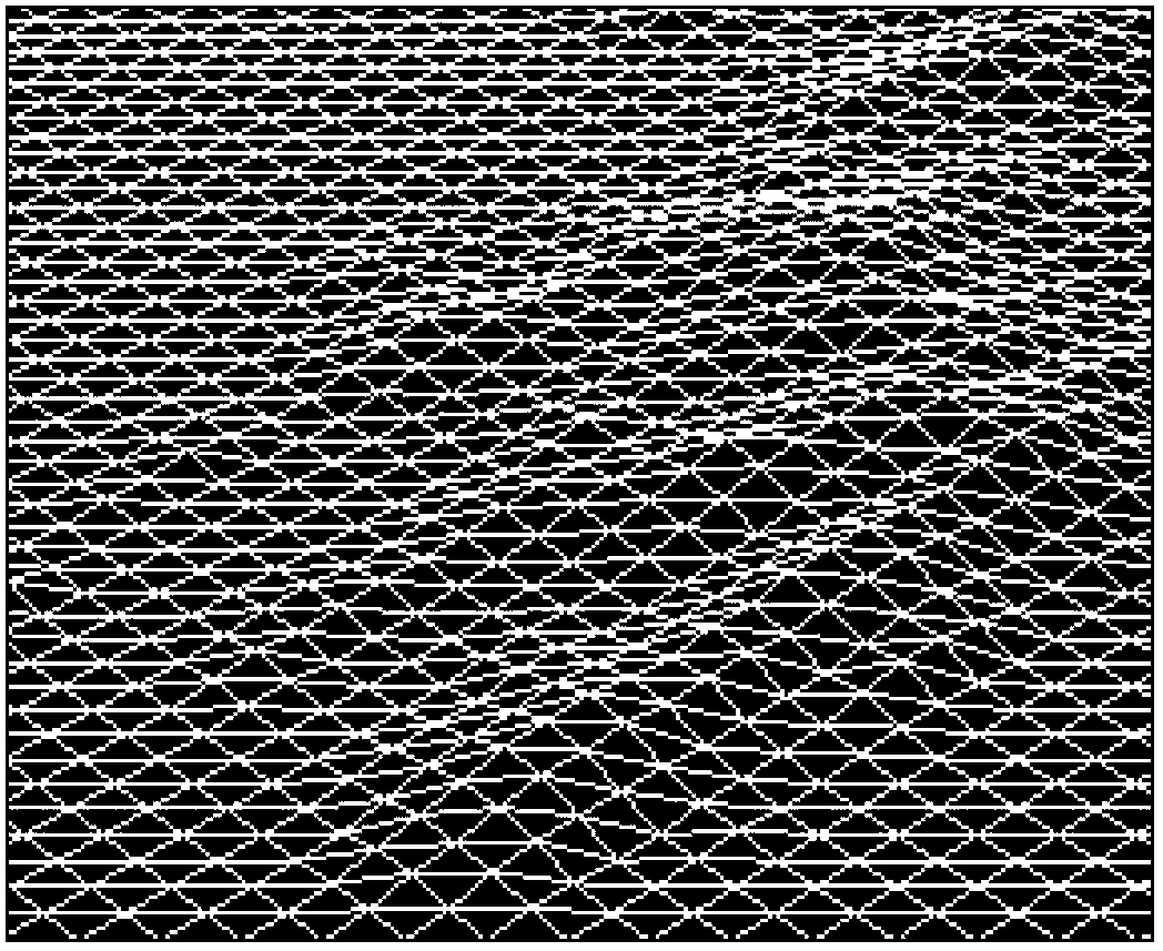
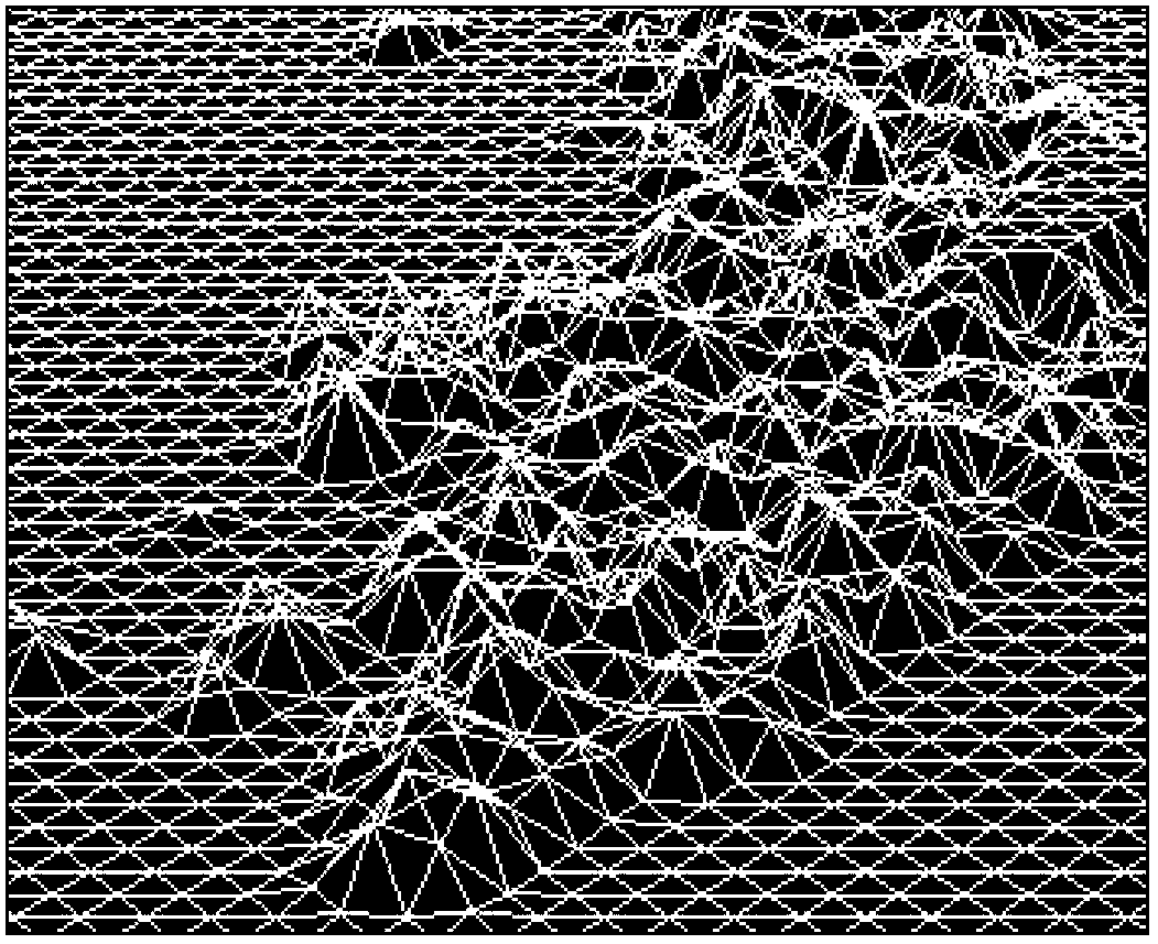
[0051] Embodiment 1. Application effect of the present invention in digital elevation model information camouflage

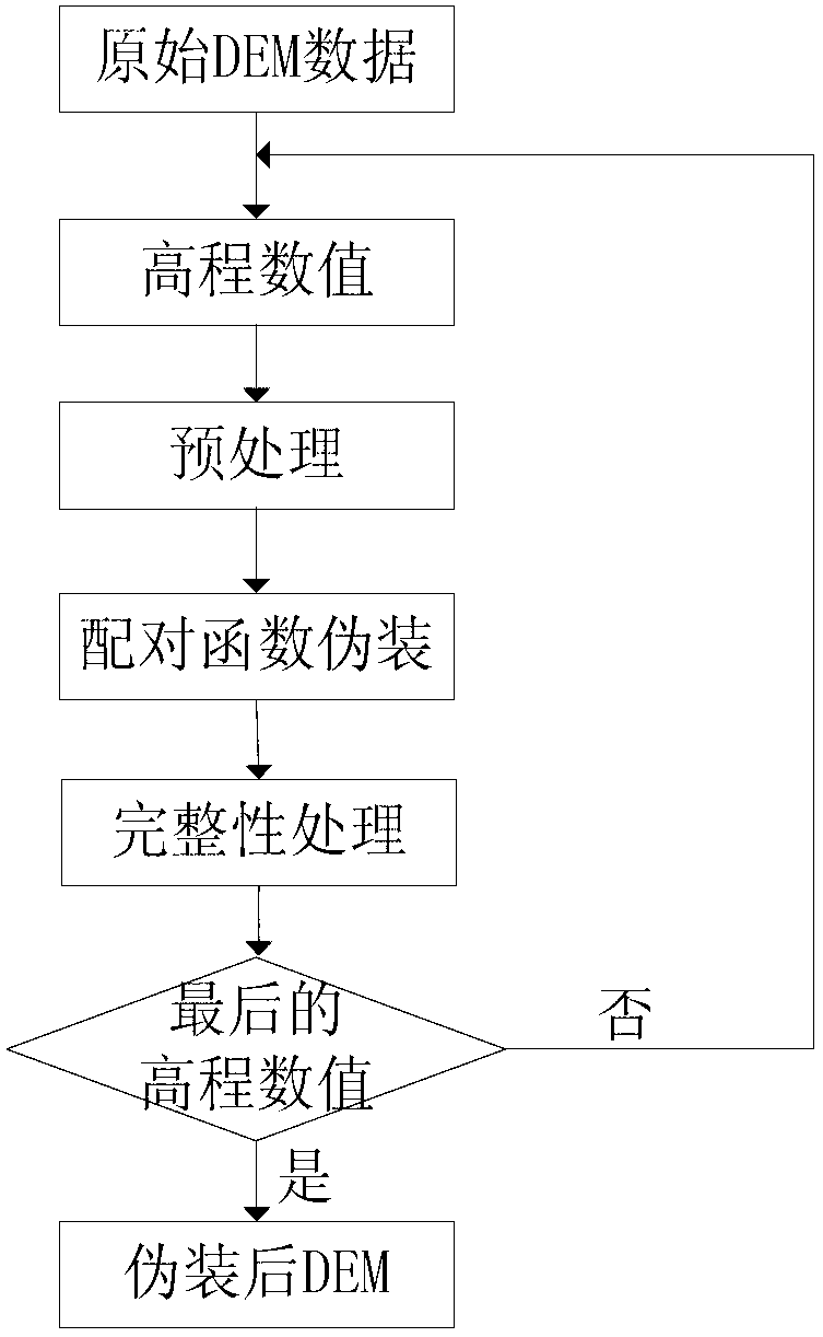
[0052] In this embodiment, a piece of regular grid DEM data with a size of 654KB is taken as an example, and the experimental conditions are Intel Core i3CPU, 2.94GHz, memory 2G, and graphics card cache 256M. In order to realize the information camouflage of the DEM data, the following steps are taken in combination with the technical solution:

[0053] Step 1. Preprocessing of elevation values ​​in DEM data

[0054] In the present invention, the processing object of a single numerical value is only limited to integers with an even number of digits. At first, the elevation numerical value is preprocessed, and the formula is adopted:

[0055] A 0 = [ A · 10 | m - d A ...


PUM


Abstract

The invention relates to an information camouflage and reduction method applied to a digital elevation model (DEM). The camouflage comprises the following steps: preprocessing an elevation value in DEM data; constructing a pairing function; and circulating and camouflaging the preprocessed elevation value by using of the pairing function. Data reduction and information camouflage form an inverse process. The information camouflage and reduction method applied to the digital elevation model achieves the fact of fast realization of information camouflage and information reduction of the digital elevation model, particularly suitable for being used for the information camouflage of large data volume DEM, and can provide a guarantee for safe storage and transmission for the DEM.

Description

technical field [0001] The invention relates to a method for disguising and restoring digital elevation model information, in particular to a fast realization method suitable for disguising information of a digital elevation model with a large amount of data. Background technique [0002] Digital elevation model (Digital Elevation Model, DEM) is a spatial distribution model formed by organizing the elevation information of different locations in digital form according to the spatial geographic coordinates, simulating the real landform and terrain information, and is a mathematical description of the terrain shape. At present, it has been widely used in various aspects of the economic field and national defense construction, and is a basic content of the national spatial data infrastructure. With the continuous development of computer technology and network technology, the information security of geospatial data has received great attention. The safe storage and transmission ...

Claims


Application Information

Patent Timeline
IPC IPC(8): G06F21/60
Inventor 宋国民贾奋励陈令羽徐少坤林雕徐齐
Owner THE PLA INFORMATION ENG UNIV
Learn More