Endangered wildlife habitat suitability distinguishing method based on GIS
A wild animal and habitat technology, which is applied in the quantification of the suitability of habitats for wild animals and the identification of habitat suitability for endangered wild animals. It can solve difficult large-scale and large-scale suitable habitat simulation and demonstration, etc. question
- Summary
- Abstract
- Description
- Claims
- Application Information
AI Technical Summary
Problems solved by technology
Method used
Image
Examples
Embodiment
[0023] The present invention will be further described below with the endangered wild animals in a certain nature reserve as an example.
[0024] 1. Endangered wild animal screening and data collection
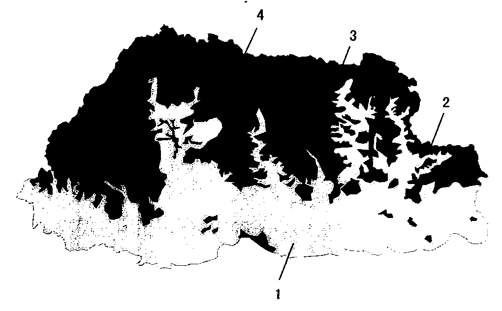
[0025] Select endangered wild animals in a nature reserve for analysis. Investigate the living habits of endangered wild animals in the field, collect natural factors and human factors that have a strong impact on the choice of habitat for this endangered wild animal, and then assign a value to each factor. The value range of the assignment is 0-100, 0 means no Suitable as a habitat for endangered wild animals, 100 means it can be used as a high suitability habitat for endangered wild animals, use the GIS software ArcGIS9.3, use the assigned field as the Value value, and convert each factor into a 30m×30m raster data . Then, the weight value between each factor is determined by expert scoring method and questionnaire method.
[0026] 2. Construct a GIS-based ecological nich...
PUM
 Abstract
Description
Claims
Application Information
 - R&D
- Intellectual Property
- Life Sciences
- Materials
- Tech Scout
- Unparalleled Data Quality
- Higher Quality Content
- 60% Fewer Hallucinations
Browse by: Latest US Patents, China's latest patents, Technical Efficacy Thesaurus, Application Domain, Technology Topic, Popular Technical Reports.
© 2025 PatSnap. All rights reserved.Legal|Privacy policy|Modern Slavery Act Transparency Statement|Sitemap|About US| Contact US: help@patsnap.com

