

Three-dimensional geological model constructing and integrating method for mountain city area
A 3D model and urban area technology, applied in the field of geological 3D model construction and integration in mountainous urban areas, can solve problems such as inability to integrate and apply 3D geological model data, and not having much reference value
- Summary
- Abstract
- Description
- Claims
- Application Information
AI Technical Summary
Problems solved by technology
Method used
Image

Examples
Embodiment Construction
[0042]Below in conjunction with accompanying drawing and embodiment, the present invention will be further described:
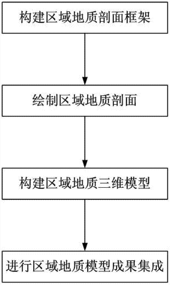
[0043] like figure 1 As shown in the figure, an integrated method for constructing a three-dimensional geological model of a mountainous urban area is characterized in that it is performed according to the following steps:
[0044] Step 1. Build a regional geological profile framework;
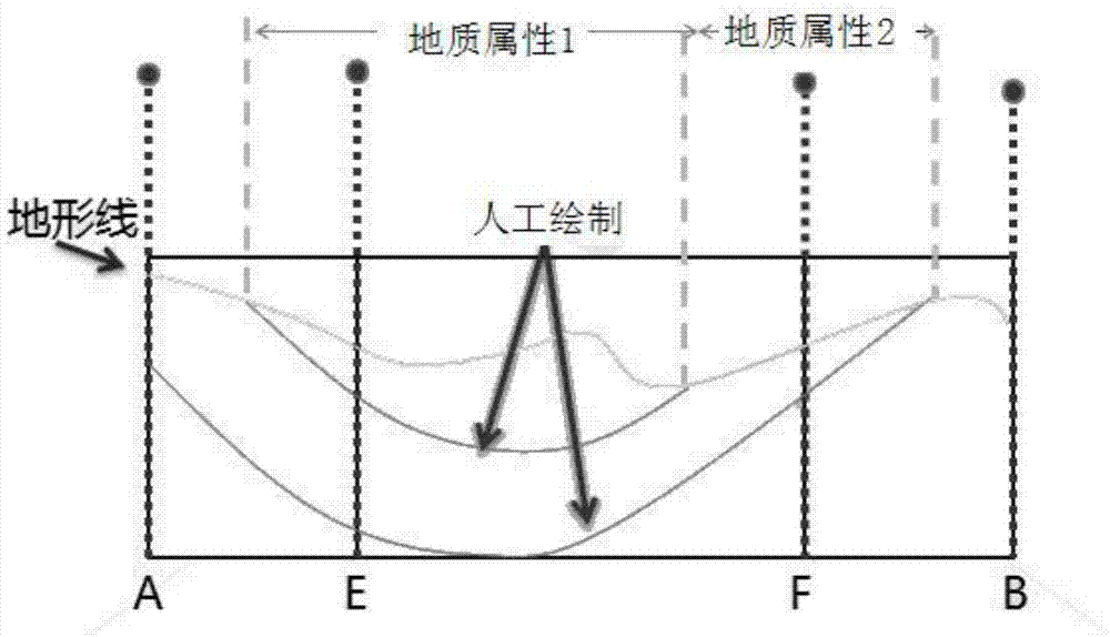
[0045] Step 2, draw the regional geological profile;
[0046] Step 3: Build a three-dimensional model of regional geology;
[0047] Step 4: Integrate regional geological model results.
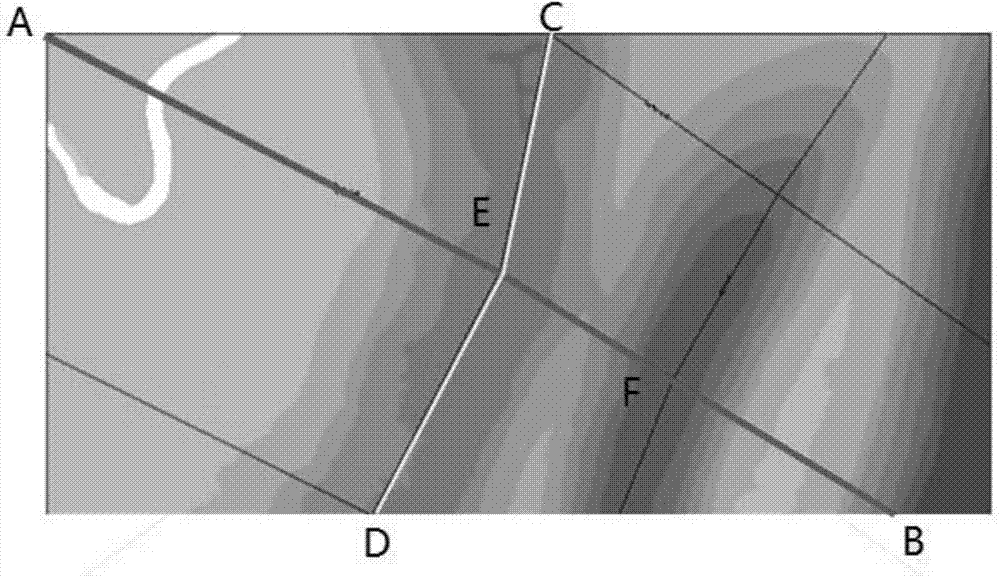
[0048] The construction of the regional geological profile frame described in step 1 includes the collection of basic data, the layout of profiles on the two-dimensional geological survey plan, the preprocessing of profile lines and topographical geological data, and the formation of a regional geological two-dimensional profile frame diagram;
[0049] Basic data collection is to collect ...
PUM
 Abstract
Description
Claims
Application Information