City expansion boundary prediction method based on space syntax
An urban sprawl, space syntax technology, used in forecasting, data processing applications, instrumentation, etc.
- Summary
- Abstract
- Description
- Claims
- Application Information
AI Technical Summary
Problems solved by technology
Method used
Image
Examples
Embodiment Construction
[0055] In order to facilitate those of ordinary skill in the art to understand and implement the present invention, the present invention will be described in further detail below in conjunction with the accompanying drawings and embodiments. It should be understood that the implementation examples described here are only used to illustrate and explain the present invention, and are not intended to limit this invention.
[0056] A kind of urban sprawl boundary prediction method based on space syntax provided by the present invention comprises the following steps:
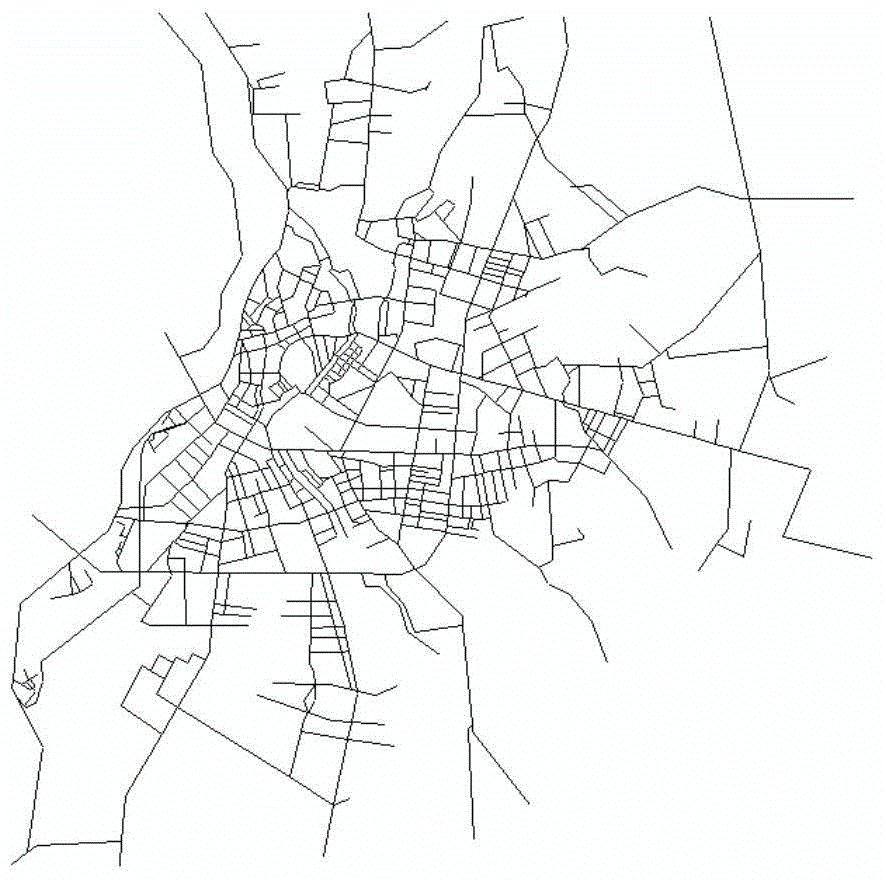
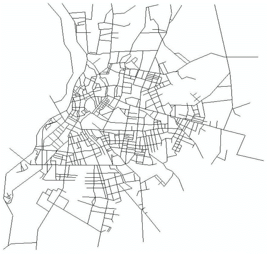
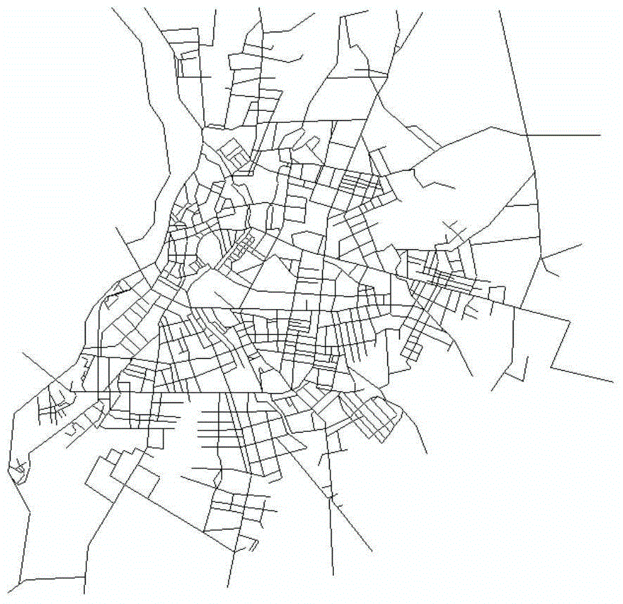
[0057] Step 1: Extract the boundary of urban built-up areas and draw a line segment map based on space syntax. The specific implementation includes the following sub-steps:
[0058] Step 1.1: Use ArcGIS software to extract the boundary map of the built-up area through visual interpretation based on the radiometric and geometrically corrected remote sensing images, including three periods of history, current situatio...
PUM
 Abstract
Description
Claims
Application Information
 - R&D
- Intellectual Property
- Life Sciences
- Materials
- Tech Scout
- Unparalleled Data Quality
- Higher Quality Content
- 60% Fewer Hallucinations
Browse by: Latest US Patents, China's latest patents, Technical Efficacy Thesaurus, Application Domain, Technology Topic, Popular Technical Reports.
© 2025 PatSnap. All rights reserved.Legal|Privacy policy|Modern Slavery Act Transparency Statement|Sitemap|About US| Contact US: help@patsnap.com


