A method for underwater positioning of carrier
An underwater positioning and carrier technology, applied in satellite radio beacon positioning system, sound wave reradiation, instruments, etc., can solve problems such as complex system, unrealistic global deployment, and impact on positioning accuracy
- Summary
- Abstract
- Description
- Claims
- Application Information
AI Technical Summary
Problems solved by technology
Method used
Image
Examples
example
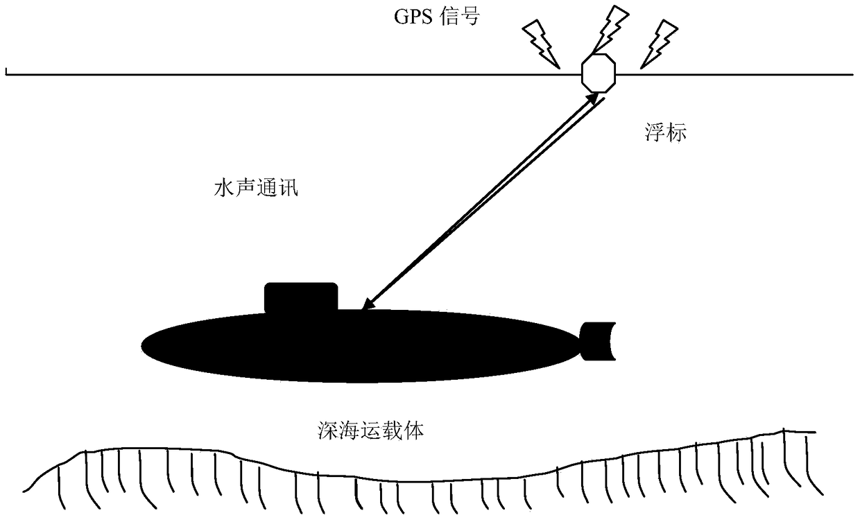
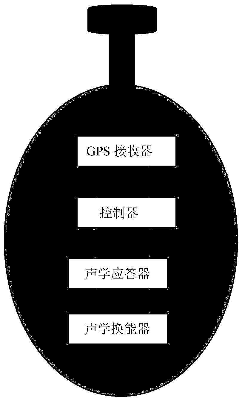
[0037] The underwater vehicle equipped with the INS / USBL integrated navigation system needs to readjust and calibrate its inertial navigation system during the long-term voyage, and sends inquiries underwater according to the working frequency of the transponder deployed underwater or the buoy carrying the transponder signal, the transponder receives and sends back a response signal, and the inertial navigation system / underwater acoustic ultra-short baseline system / GPS integrated navigation system can calculate the accurate information of the underwater carrier through the matrix transformation theory, and readjust and calibrate the inertial navigation system .
[0038] Set the position of the inertial navigation system in the Cartesian coordinate system (north, east, ground, that is, the navigation coordinate system) as: (X v , Y v ,Z v )′, the "apparent position" of the transponder or buoy in the ultra-short baseline matrix coordinate system is: the position of the reference...
PUM
 Abstract
Description
Claims
Application Information
 - R&D
- Intellectual Property
- Life Sciences
- Materials
- Tech Scout
- Unparalleled Data Quality
- Higher Quality Content
- 60% Fewer Hallucinations
Browse by: Latest US Patents, China's latest patents, Technical Efficacy Thesaurus, Application Domain, Technology Topic, Popular Technical Reports.
© 2025 PatSnap. All rights reserved.Legal|Privacy policy|Modern Slavery Act Transparency Statement|Sitemap|About US| Contact US: help@patsnap.com


