A method for pointing registration of spaceborne spectrometers based on remote sensing images of coastline regions
A coastline and spectrometer technology is applied in the fields of remote sensing digital image analysis and processing and spectral analysis to achieve the effect of expanding the scope of application
- Summary
- Abstract
- Description
- Claims
- Application Information
AI Technical Summary
Problems solved by technology
Method used
Image
Examples
Embodiment Construction
[0035] The present invention will be further described below in conjunction with the accompanying drawings and specific embodiments.
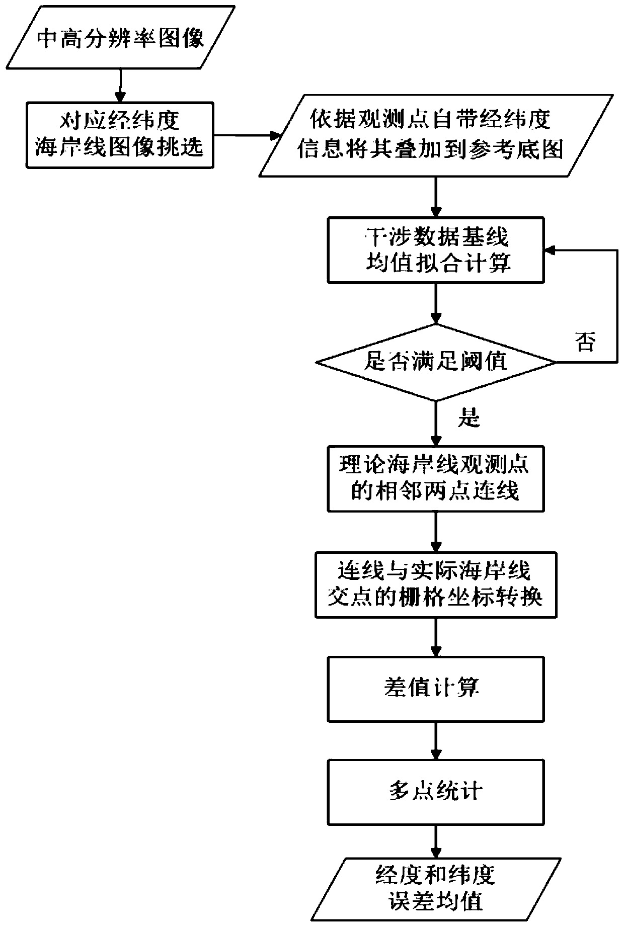
[0036] Such as figure 1 As shown, a pointing registration method of spaceborne spectrometer based on the remote sensing image of the coastline area includes the following steps:
[0037] S1. From the remote sensing images collected by remote sensing cameras such as CCD cameras, select medium and high resolution (16000*14000) remote sensing images with obvious coastline areas within a certain latitude and longitude range as the reference base map, and extract the coastline from the reference base map.
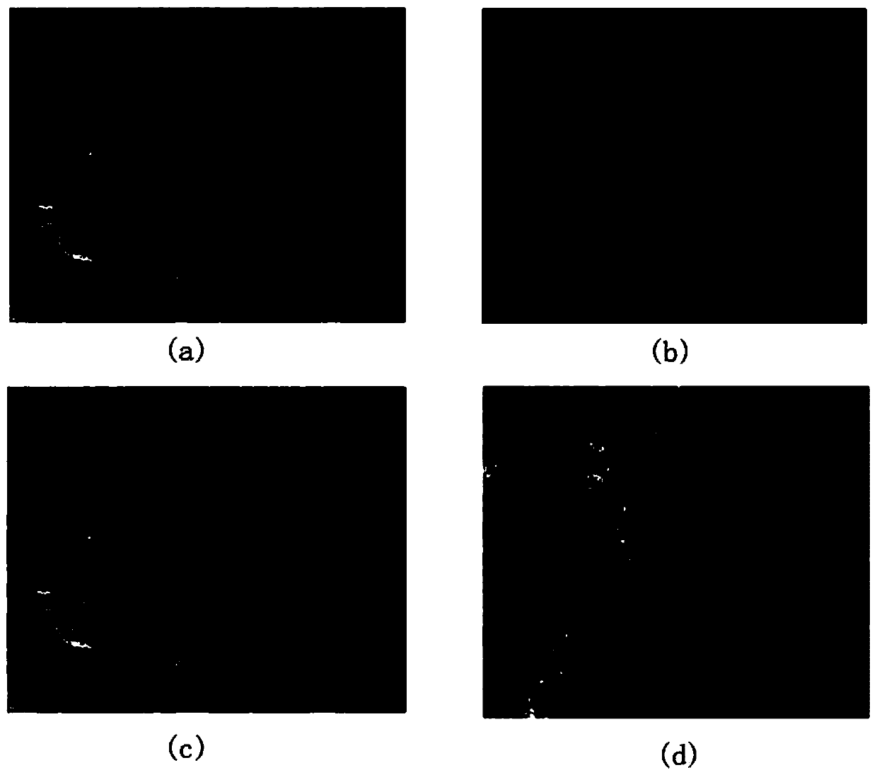
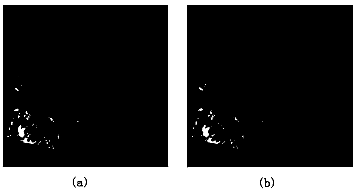
[0038] If there are large islands near the edge of the mainland coastline, it will have a greater impact on the registration algorithm, so try to avoid islands when selecting coastlines, such as figure 2 As shown in (a); using unsupervised classification, the coastline can be extracted well, and the result is as follows figure 2 as shown in (...
PUM
 Abstract
Description
Claims
Application Information
 - R&D
- Intellectual Property
- Life Sciences
- Materials
- Tech Scout
- Unparalleled Data Quality
- Higher Quality Content
- 60% Fewer Hallucinations
Browse by: Latest US Patents, China's latest patents, Technical Efficacy Thesaurus, Application Domain, Technology Topic, Popular Technical Reports.
© 2025 PatSnap. All rights reserved.Legal|Privacy policy|Modern Slavery Act Transparency Statement|Sitemap|About US| Contact US: help@patsnap.com


