A lane-level localization method based on fusion of multiple ground signs
A positioning method and ground marking technology, applied in the directions of instruments, calculations, character and pattern recognition, etc., can solve the problem that the vehicle position cannot be estimated continuously
- Summary
- Abstract
- Description
- Claims
- Application Information
AI Technical Summary
Problems solved by technology
Method used
Image
Examples
Embodiment Construction
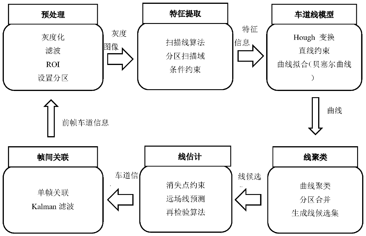
[0044] The embodiment of the present invention provides a lane-level positioning method based on the fusion of multiple ground signs, using the images collected by the AVT camera installed directly under the rearview mirror of the smart car to provide the lateral deviation distance of the vehicle and the longitudinal distance at the intersection in real time information, and then know the real-time position of the vehicle in the lane, such as figure 1 Shown, the present invention has taken following technical scheme:
[0045] Step 1: Sensor Installation and Calibration
[0046] Install the camera directly below the rearview mirror of the smart vehicle and parallel to the longitudinal coordinate axis of the vehicle body. When installing the camera, ensure that clear lane line images on both sides of the vehicle can be collected; calibrate the camera, and the calibrated field of view is : Width 1500cm, far 2000cm.
[0047] Step 2: Image preprocessing
[0048] According to the...
PUM
 Abstract
Description
Claims
Application Information
 - R&D
- Intellectual Property
- Life Sciences
- Materials
- Tech Scout
- Unparalleled Data Quality
- Higher Quality Content
- 60% Fewer Hallucinations
Browse by: Latest US Patents, China's latest patents, Technical Efficacy Thesaurus, Application Domain, Technology Topic, Popular Technical Reports.
© 2025 PatSnap. All rights reserved.Legal|Privacy policy|Modern Slavery Act Transparency Statement|Sitemap|About US| Contact US: help@patsnap.com


