

Field measurement method for mountain torrent disaster investigation and evaluation
A measurement method and disaster technology, applied in measurement devices, mapping and navigation, instruments, etc., can solve the problems of huge investment and not completely covering the entire area.
- Summary
- Abstract
- Description
- Claims
- Application Information
AI Technical Summary
Problems solved by technology
Method used
Image

Examples
Embodiment Construction
[0025] The present invention will be further described in detail below in conjunction with the accompanying drawings and embodiments.
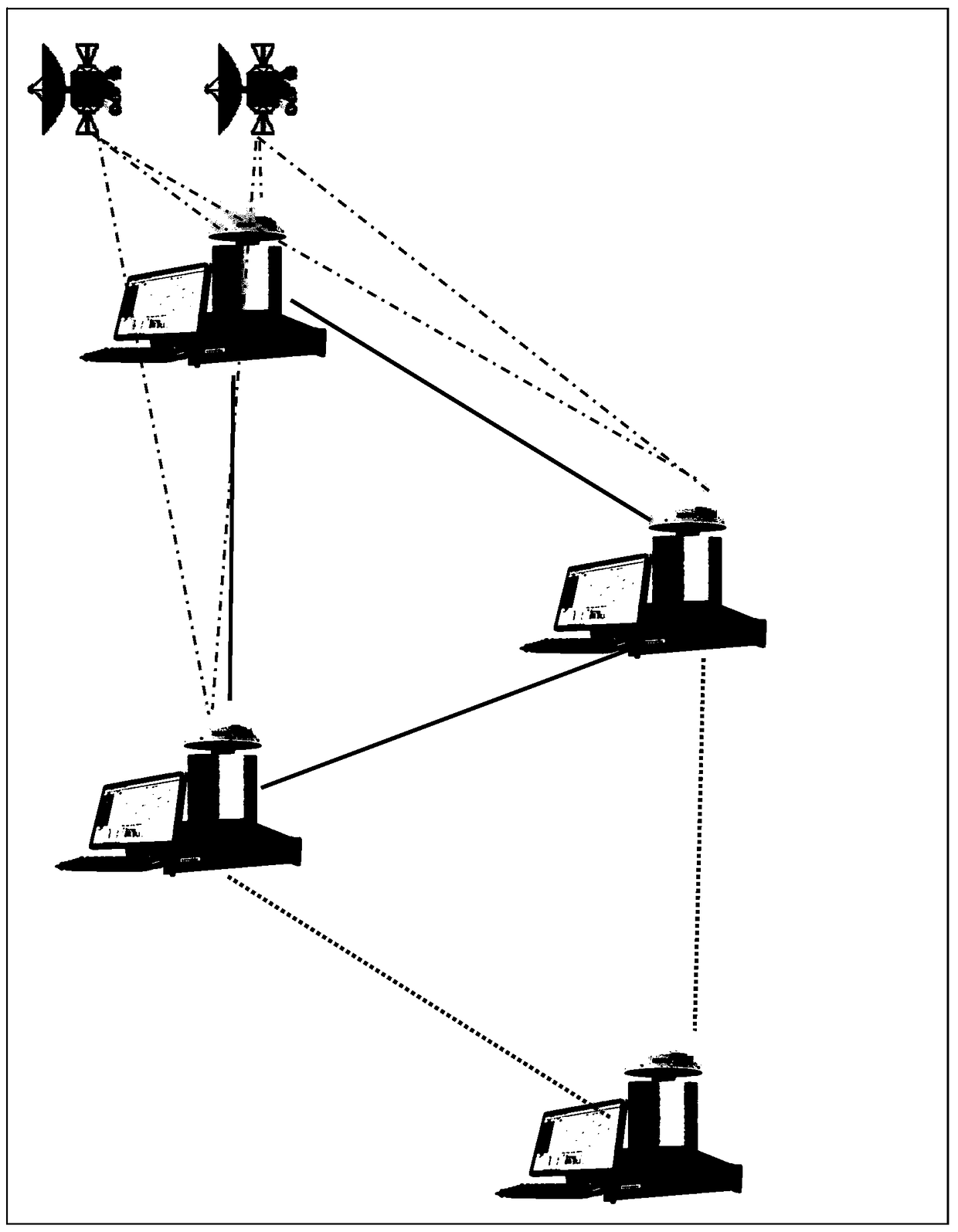
[0026] Such as figure 1 As shown, the field measurement methods for mountain torrent disaster investigation and evaluation include:
[0027] Step 1: three reference stations are formed into a triangular reference station network, and the distance between the reference stations is 40km-60km; the three reference stations are formed into an equilateral triangle reference station network as much as possible. The spacing between the reference stations is preferably 50 km.
[0028] Step 2: Utilize the reference station network to measure the latitude and longitude information and elevation information of each position in the triangular area; specifically, the movement of the mobile station in the triangular area; The network measures the latitude and longitude information and elevation information of the location of the mobile station, and sends t...
PUM
 Abstract
Description
Claims
Application Information