

Road intelligent extraction method and device, extraction model construction method and hybrid navigation system
An extraction method and road extraction technology, applied in the field of image recognition, can solve problems such as large amount of calculation, large extraction deviation of remote sensing images, and difficulty in automatic classification, and achieve the effect of improving the accuracy rate and recall rate.
- Summary
- Abstract
- Description
- Claims
- Application Information
AI Technical Summary
Problems solved by technology
Method used
Image

Examples
Embodiment Construction
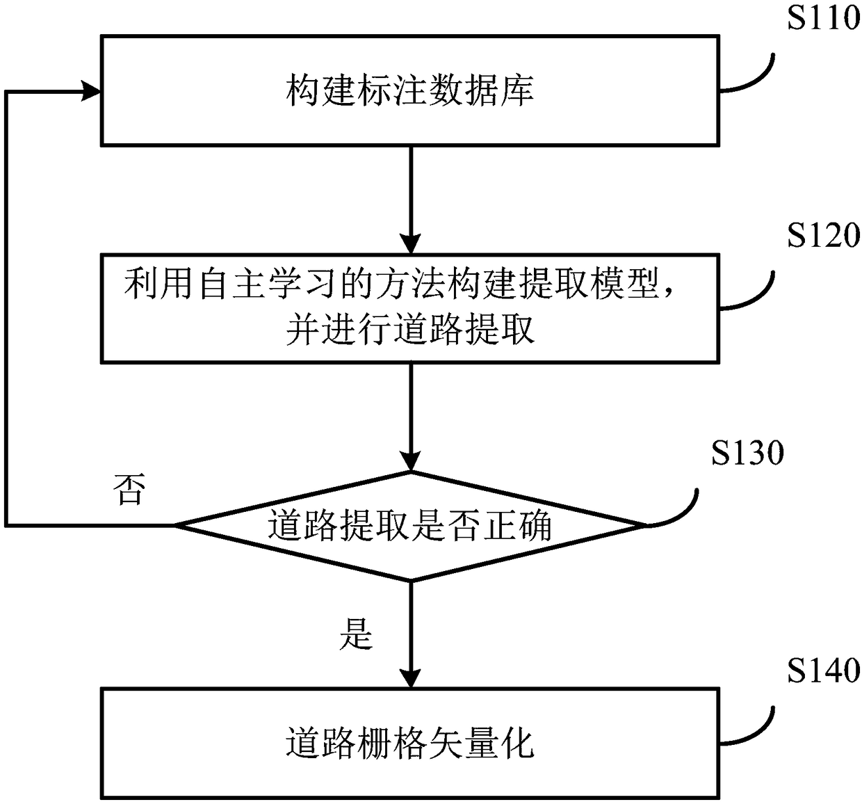
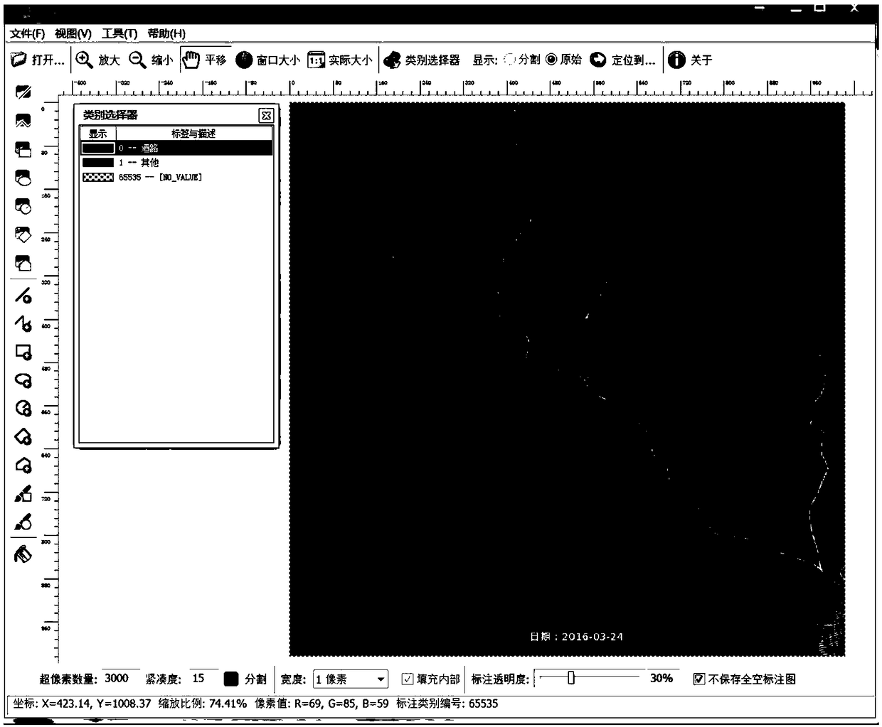
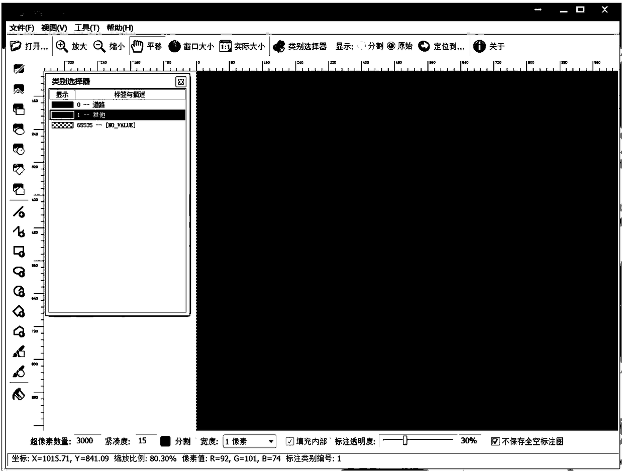
[0032] Certain terms are used, for example, in the description and claims to refer to particular components. Those skilled in the art should understand that hardware manufacturers may use different terms to refer to the same component. The specification and claims do not use the difference in name as a way to distinguish components, but use the difference in function of components as a criterion for distinguishing. As mentioned throughout the specification and claims, "comprising" is an open term, so it should be interpreted as "including but not limited to". "Approximately" means that within an acceptable error range, those skilled in the art can solve the technical problem within a certain error range and basically achieve the technical effect. The following descriptions in the specification are preferred implementation modes for implementing the present invention, but the descriptions are for the purpose of illustrating the general principles of the present invention, and ...
PUM
 Abstract
Description
Claims
Application Information