Surveying and mapping information sand table data processing method
A data processing and sand table technology, which is applied in the field of surveying and mapping information sand table data processing, can solve problems such as distortion and color fading, and achieve the effects of increasing service life, reducing color fading, reducing cost and completion time
- Summary
- Abstract
- Description
- Claims
- Application Information
AI Technical Summary
Problems solved by technology
Method used
Image
Examples
Embodiment Construction
[0030] The present invention will be further described below in conjunction with the accompanying drawings.
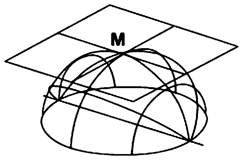
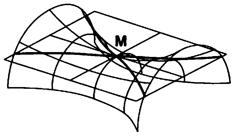
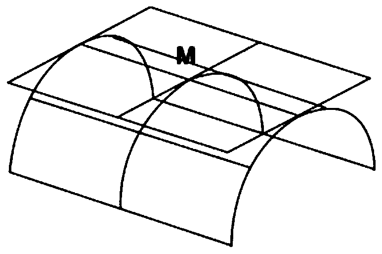
[0031] see Figure 1 to Figure 6 As shown, a method for processing sand table data of surveying and mapping information of the present invention, said method is: through the surface features of each point of the three-dimensional model of the sand table, Gaussian curvature is introduced into the error term of the three-dimensional halftone algorithm of the surface features to compensate The phenomenon of color fading due to the increase of the three-dimensional surface than the two-dimensional plane printing area, specifically: first design the three-dimensional half-tone algorithm for the surface feature, the principle of the three-dimensional half-tone algorithm for the surface feature is through the specificity of the binary points of the area image distribution, to produce the illusion of continuous tone; therefore, the visual gray value of the inkjet point of the ...
PUM
 Abstract
Description
Claims
Application Information
 - R&D
- Intellectual Property
- Life Sciences
- Materials
- Tech Scout
- Unparalleled Data Quality
- Higher Quality Content
- 60% Fewer Hallucinations
Browse by: Latest US Patents, China's latest patents, Technical Efficacy Thesaurus, Application Domain, Technology Topic, Popular Technical Reports.
© 2025 PatSnap. All rights reserved.Legal|Privacy policy|Modern Slavery Act Transparency Statement|Sitemap|About US| Contact US: help@patsnap.com


