

Efficient labeling method and system for high-resolution remote sensing target big data set
A high-resolution, large data set technology, applied in the field of remote sensing image processing, can solve the problems of reduced resolution of fusion images, annotation, and labeling accuracy reduction, etc.
- Summary
- Abstract
- Description
- Claims
- Application Information
AI Technical Summary
Problems solved by technology
Method used
Image

Examples
Embodiment Construction
[0027] The scheme will be described below in conjunction with the accompanying drawings and specific implementation methods.
[0028] figure 1 For a schematic flow chart of an efficient labeling method for a large dataset of high-resolution remote sensing targets provided in the embodiment of the present application, see figure 1 , the method includes:
[0029] S101, intercepting image pictures according to preset conditions on each acquired high-resolution remote sensing image.
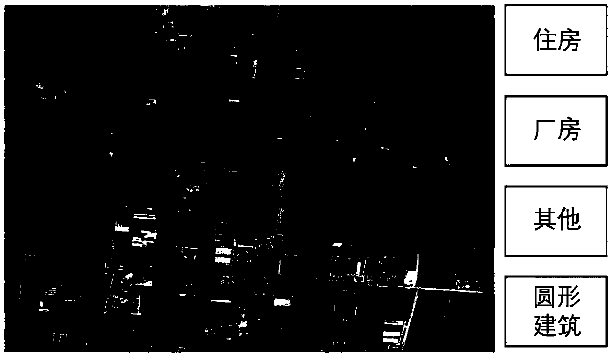
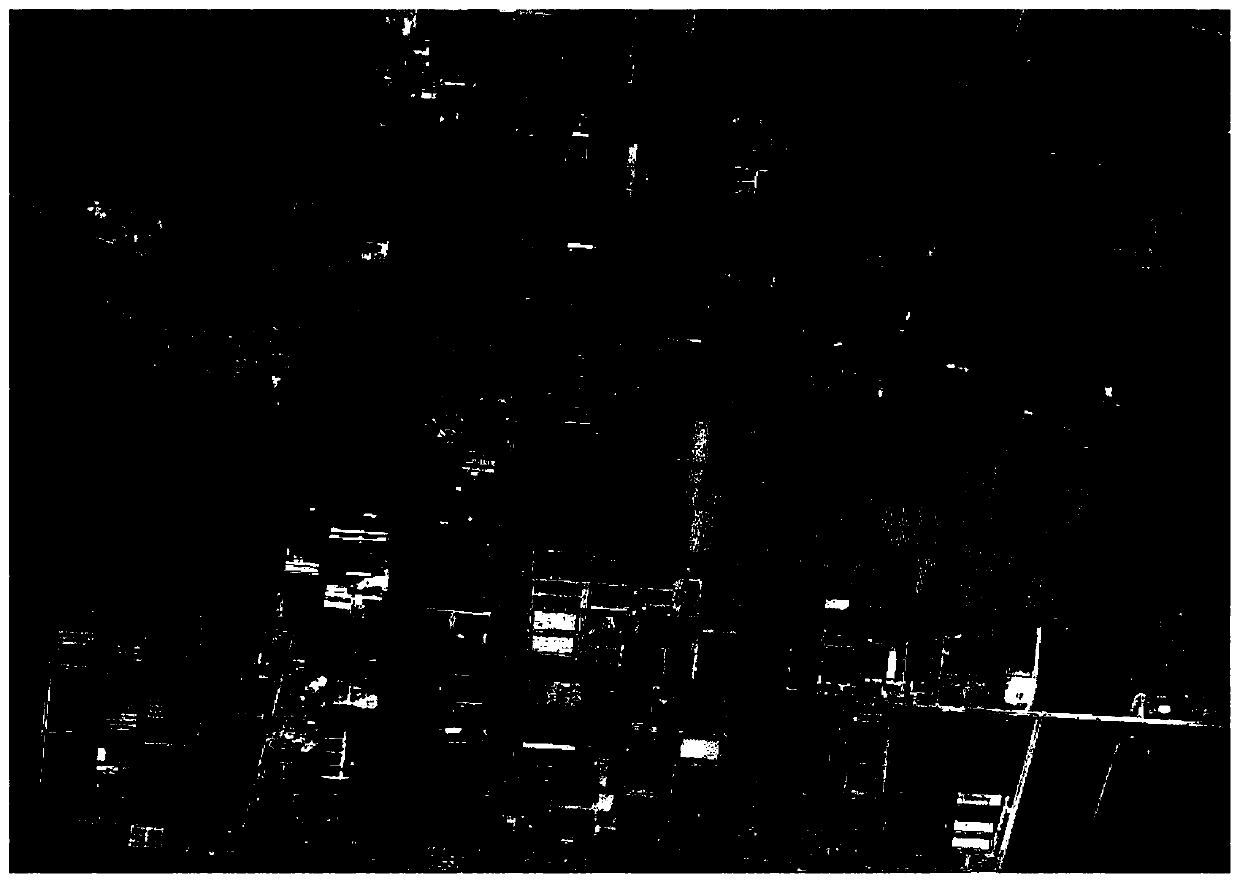
[0030] In this embodiment, the first choice is to select suitable high-resolution remote sensing images, generally to select high-resolution remote sensing images with less cloud cover, relatively clear, diverse coverage and rich objects. Select a part with a large number of objects, clear edges, and less irrelevant information to intercept with a rectangle (note that the geographic coordinates of the vector file used for interception should be consistent with the original image). If necessary, co...
PUM
 Abstract
Description
Claims
Application Information