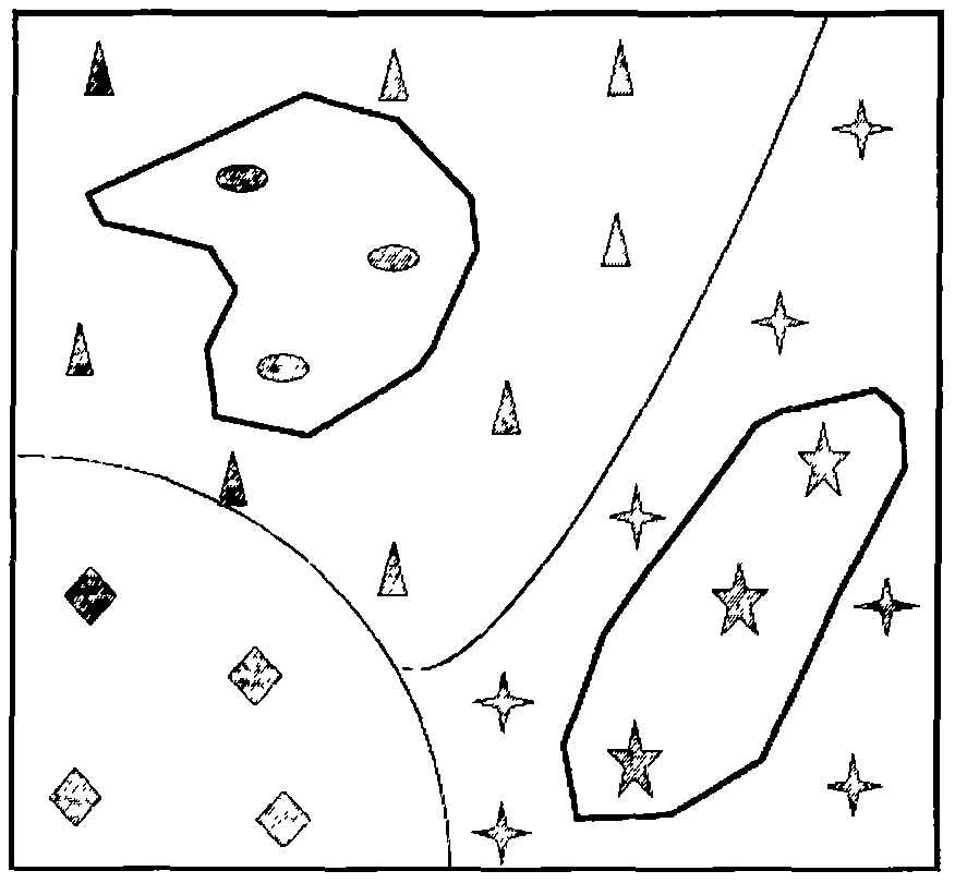
County soil attribute survey sample point layout method based on composite type unit
A type of soil technology, applied in design optimization/simulation, special data processing applications, structured data retrieval, etc., can solve problems such as difficulty in ensuring the accuracy of soil surveys, deviations in sample point design schemes, and areas lacking prior information
- Summary
- Abstract
- Description
- Claims
- Application Information
AI Technical Summary
Problems solved by technology
Method used
Image
Examples
Embodiment Construction
[0029]The present invention is further described below by specific examples:
[0030]Based on land use (primary category C1) and soil type (subclass G2) composite type landscape unit survey particle size and confidence (95%) and relative equation (5%), using composite type landscape unit distribution pattern Methods and steps of implementation of properties survey patterns for soil organic matter for county cultivated land:
[0031](1) Acquisition of land use types in Yujiang County, soil type unit vectorization spatial distribution map.
[0032](2) Using GIS spatial analysis technology, extracting land utilization (C1), soil type subclass (G2) vector panprints to establish and prepare and prepare a composite type unit vector partition of cultivated land and soil subclasses.
[0033](3) The characteristic landscape index value of the cultivated land in Yujiang County was calculated using FragStats software to calculate the characteristic landscape index value of Yujiang County cultivated land s...
PUM
 Abstract
Description
Claims
Application Information
 - R&D
- Intellectual Property
- Life Sciences
- Materials
- Tech Scout
- Unparalleled Data Quality
- Higher Quality Content
- 60% Fewer Hallucinations
Browse by: Latest US Patents, China's latest patents, Technical Efficacy Thesaurus, Application Domain, Technology Topic, Popular Technical Reports.
© 2025 PatSnap. All rights reserved.Legal|Privacy policy|Modern Slavery Act Transparency Statement|Sitemap|About US| Contact US: help@patsnap.com


