Supercharge Your Innovation With Domain-Expert AI Agents!

Multi-point geostatistics modeling parameter optimization method based on deep learning

A technology of deep learning and geological statistics, applied in the direction of design optimization/simulation, electrical digital data processing, instruments, etc., can solve the problems of low efficiency and inadaptability of manual identification, and achieve improved selection accuracy, high identification efficiency, and identification accuracy high effect

Inactive Publication Date: 2021-06-04
YANGTZE UNIVERSITY
View PDF0 Cites 0 Cited by
  • Summary
  • Abstract
  • Description
  • Claims
  • Application Information

AI Technical Summary

Problems solved by technology

The accuracy of manual recognition depends on the experience of the modeling workers, which is highly subjective. At the same time, the efficiency of manual recognition is low, and it is not suitable for the needs of modern automated production.

Method used


Image

  • Multi-point geostatistics modeling parameter optimization method based on deep learning
  • Multi-point geostatistics modeling parameter optimization method based on deep learning
  • Multi-point geostatistics modeling parameter optimization method based on deep learning

Examples


Embodiment Construction

[0029] The present invention will be described in further detail below in conjunction with the accompanying drawings and specific embodiments, but these embodiments should not be construed as limiting the present invention.

[0030] In order to understand the present invention well, relevant terms are explained below:

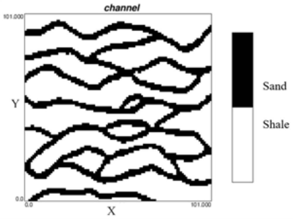
[0031] 1. Training image (TI—TrainImage): a priori geological concept model, using grid G TI As a data carrier, it is a digital model that can express the actual reservoir structure, geometry and distribution mode.

[0032] 2. Stochastic model (M——Model): the simulation realization based on the multi-point geostatistical method with the training image as the prior geological model.

[0033] 3. Multi-point geostatistics (MPS—Multiple-point statistics): Reservoir geological modeling algorithm with spatial multi-point correlation as the core and training images as prior geological models.

[0034] 4. Label (L——Label): used to identify a random model, which not o...


PUM


Abstract

The invention discloses a multi-point geostatistics modeling parameter optimization method based on deep learning. The method combines the correlation recognition of multi-point geostatistics model features and modeling parameters: taking the size of a data sample plate of multi-point geostatistics as an example, along with the increase of the size of the sample plate, the morphological visual features of a model and a training image are more and more similar, and the modeling parameters are more and more similar. Based on deep learning, a modeling parameter classification label is added to an image of a multipoint geostatistics random model based on a (ordered) modeling parameter set, so that training learning and recognition rate inspection of model classification based on modeling parameters are realized, and a corresponding discrimination relation between random model categories and modeling parameters is established. The modeling parameters lower than a given recognition rate threshold value are selected as optimal parameters. Compared with a traditional artificial visual discrimination method, the method can efficiently and objectively optimize the multi-point geostatistics modeling parameters.

Description

technical field [0001] The invention relates to a method for optimizing multi-point geological statistical modeling parameters based on deep learning, and belongs to the technical field of reservoir geological modeling. Background technique [0002] Multi-point geostatistics is currently the mainstream method in the field of reservoir modeling. With the help of the prior geological model of the training image, it can not only meet the conditional data from different sources, but more importantly, it can well restore the existing geological understanding, including Pattern structure features such as shape and distribution relationship. However, no matter what kind of multi-point geostatistical modeling algorithm is used, the model sampling must be completed first in the process of realizing the model reconstruction, and the parameters selected by the model sampling have a direct impact on the modeling quality, so in order to improve the modeling quality must be carried out O...

Claims


Application Information

Patent Timeline
IPC IPC(8): G06F30/27G06F119/02
CPCG06F30/27G06F2119/02
Inventor 喻思羽李少华周传友王军段太忠何贤科
Owner YANGTZE UNIVERSITY
Features
  • R&D
  • Intellectual Property
  • Life Sciences
  • Materials
  • Tech Scout
  • Unparalleled Data Quality
  • Higher Quality Content
  • 60% Fewer Hallucinations
Learn More