Evaluating driver walk distances and building types using overhead imagery
- Summary
- Abstract
- Description
- Claims
- Application Information
AI Technical Summary
Problems solved by technology
Method used
Image
Examples
Embodiment Construction
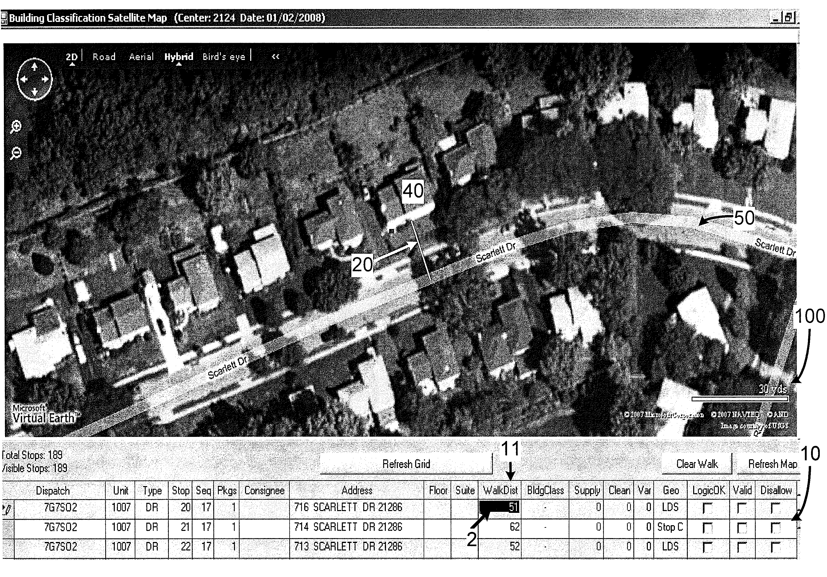
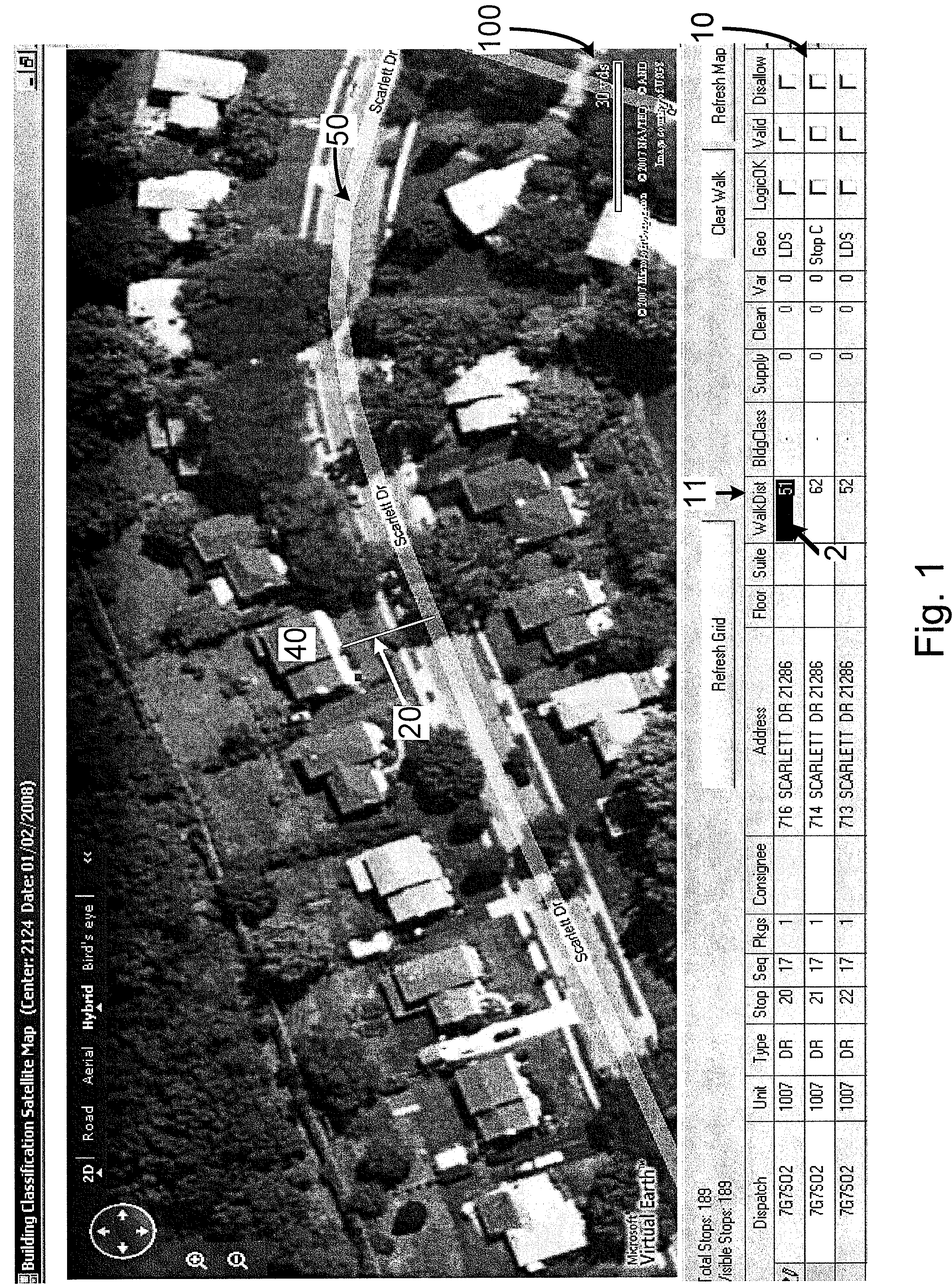
[0005]Generally speaking, a work measurement method according to various embodiments of the invention includes using aerial and / or satellite imagery to determine driver walk distances (e.g., from a driver's delivery vehicle to a drop-off location adjacent a building (e.g., a house or office building)) and / or to classify the type of building to which an item is to be delivered. For example, in particular embodiments, a work measurement analyst using aerial and / or satellite imagery can estimate a target time duration for a delivery route based at least partially upon walk distances for drivers and / or building classification types.
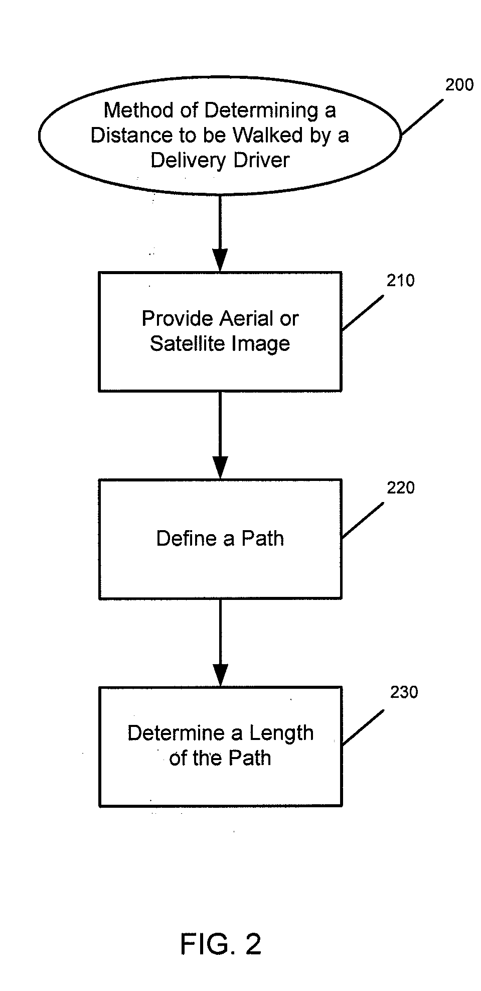
[0006]A method of determining a distance to be walked by a delivery vehicle driver according to particular embodiments of the invention comprises the steps of: (A) providing a satellite or aerial image that comprises: (1) an image of a building to which an item is to be delivered, and (2) an image of a street adjacent the building; (B) defining a path, within...
PUM
 Abstract
Description
Claims
Application Information
 - R&D
- Intellectual Property
- Life Sciences
- Materials
- Tech Scout
- Unparalleled Data Quality
- Higher Quality Content
- 60% Fewer Hallucinations
Browse by: Latest US Patents, China's latest patents, Technical Efficacy Thesaurus, Application Domain, Technology Topic, Popular Technical Reports.
© 2025 PatSnap. All rights reserved.Legal|Privacy policy|Modern Slavery Act Transparency Statement|Sitemap|About US| Contact US: help@patsnap.com


