Method, system and computer readable medium for scenario mangement of dynamic, three-dimensional geological interpretation and modeling

a three-dimensional geological interpretation and modeling technology, applied in the field of geological information analysis and processing methods and systems, can solve problems such as inability to render real-time, inability to solve correlation and mapping problems in a two-dimensional environment, and stagnation in the functional development of these applications, so as to improve accuracy, enhance interpretation and modeling ability, and facilitate use

Inactive Publication Date: 2014-03-20
AUSTIN GEOMODELING
View PDF29 Cites 41 Cited by
  • Summary
  • Abstract
  • Description
  • Claims
  • Application Information

AI Technical Summary

Benefits of technology

This patent presents a new way to analyze oil and gas reservoirs by combining seismic and well-logging data in a 3D virtual space. It offers faster speeds, easier usage, and better accuracy than previous methods. Users can interact with the virtual world and explore different parts of the formation being analyzed. Overall, this technology makes it much more likely for petroleum engineers to accurately identify and evaluate potential drilling targets.

Problems solved by technology

The technical problem addressed in this patent text is the limitations of current geological interpretation tools and methods used by oil and gas companies. These tools struggle to keep up with changing times and demands, resulting in slow and tedious processes that lose precious time and money. There is a need for a new system that can improve efficiency and productivity by utilizing advanced computer technologies to provide a seamless integrated solution for geological interpretation.

Method used


Image

  • Method, system and computer readable medium for scenario mangement of dynamic, three-dimensional geological interpretation and modeling
  • Method, system and computer readable medium for scenario mangement of dynamic, three-dimensional geological interpretation and modeling
  • Method, system and computer readable medium for scenario mangement of dynamic, three-dimensional geological interpretation and modeling

Examples


Embodiment Construction

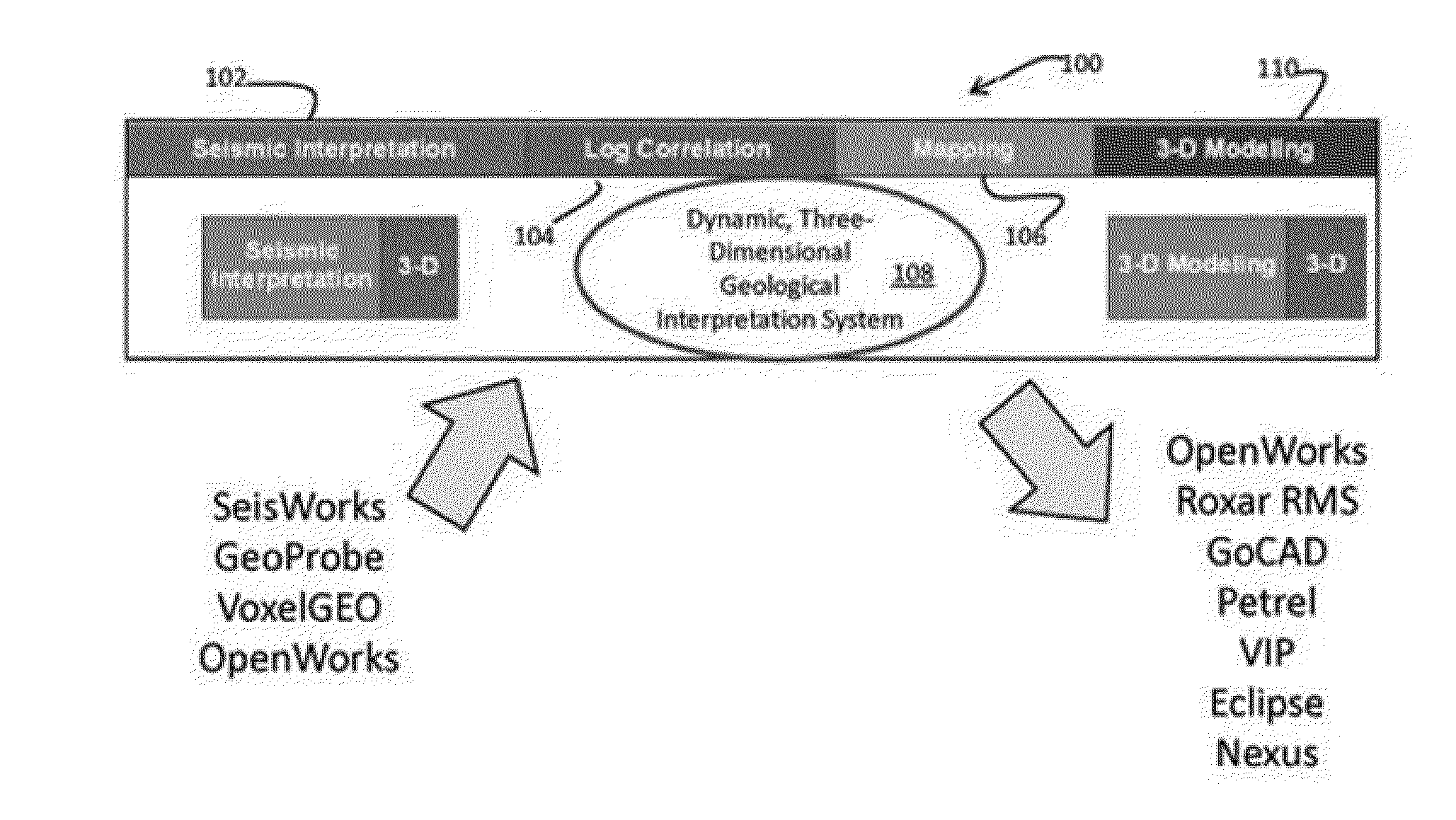
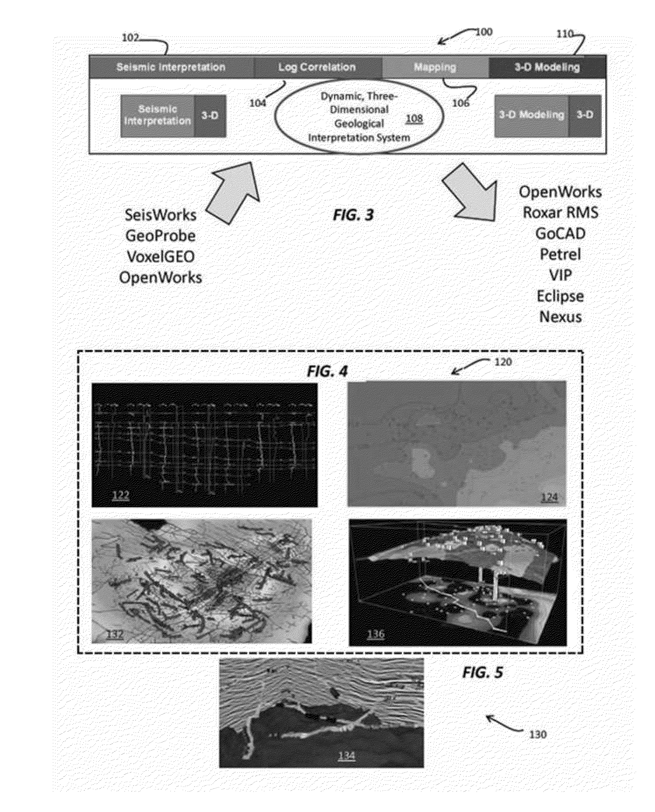
[0079]The disclosed geological interpretation system delivers three-dimensional geological interpretation performance with true three-dimensional subsurface solutions, fast interpretation updates, and integration with the Landmark Graphics OpenWorks® and SeisWorks® systems. The effect on user workflow speed and approach is dramatic and translates into higher quality interpretations, lower risk, and improved success.

[0080]The disclosed process and system provide high quality interpretation of geological data. A real-time three-dimensional interpretation environment is characterized by the fact that all changes to the interpretation are immediately updated in the three-dimensional, cross-sectional, and base map views. By dramatically speeding the geological interpretation workflow, geoscientists are able to save time, which is used to improve on the quality of the interpretation, effectively lowering finding and development costs.

[0081]Using the disclosed geological interpretation sys...


PUM


Abstract

Techniques and a system for performing geological interpretation operations in support of energy resources exploration and production perform well log correlation operations for generating a set of graphical data describing the predetermined geological region. The process and system interpret the geological environment of the predetermined geological region from measured surface and fault data associated with the predetermined geological region. Allowing the user to query and filter graphical data representing the predetermined geological region, the method and system present manipulable three-dimensional geological interpretations of two-dimensional geological data relating to the predetermined geological region and provide displays of base map features associated with the predetermined geological region. The method and system automatically update the manipulable three-dimensional geological interpretations of two-dimensional data relating to the predetermined geological region, as well as calculate three-dimensional well log and seismic interpretations of geological data relating to the predetermined geological region.

Description


Claims


Application Information

Patent Timeline
Owner AUSTIN GEOMODELING
Why Eureka
Try Eureka