
Systems and methods for providing mobile mapping services including trip prediction and route recommendation

a mapping service and mobile technology, applied in surveying, navigation, instruments, etc., can solve the problems of inability to provide real-time traffic data to users, inability to provide optimal routing information for individual users, and inability to provide mapping services

Active Publication Date: 2014-12-04
VERIZON PATENT & LICENSING INC +1
View PDF12 Cites 72 Cited by
  • Summary
  • Abstract
  • Description
  • Claims
  • Application Information

AI Technical Summary

Benefits of technology

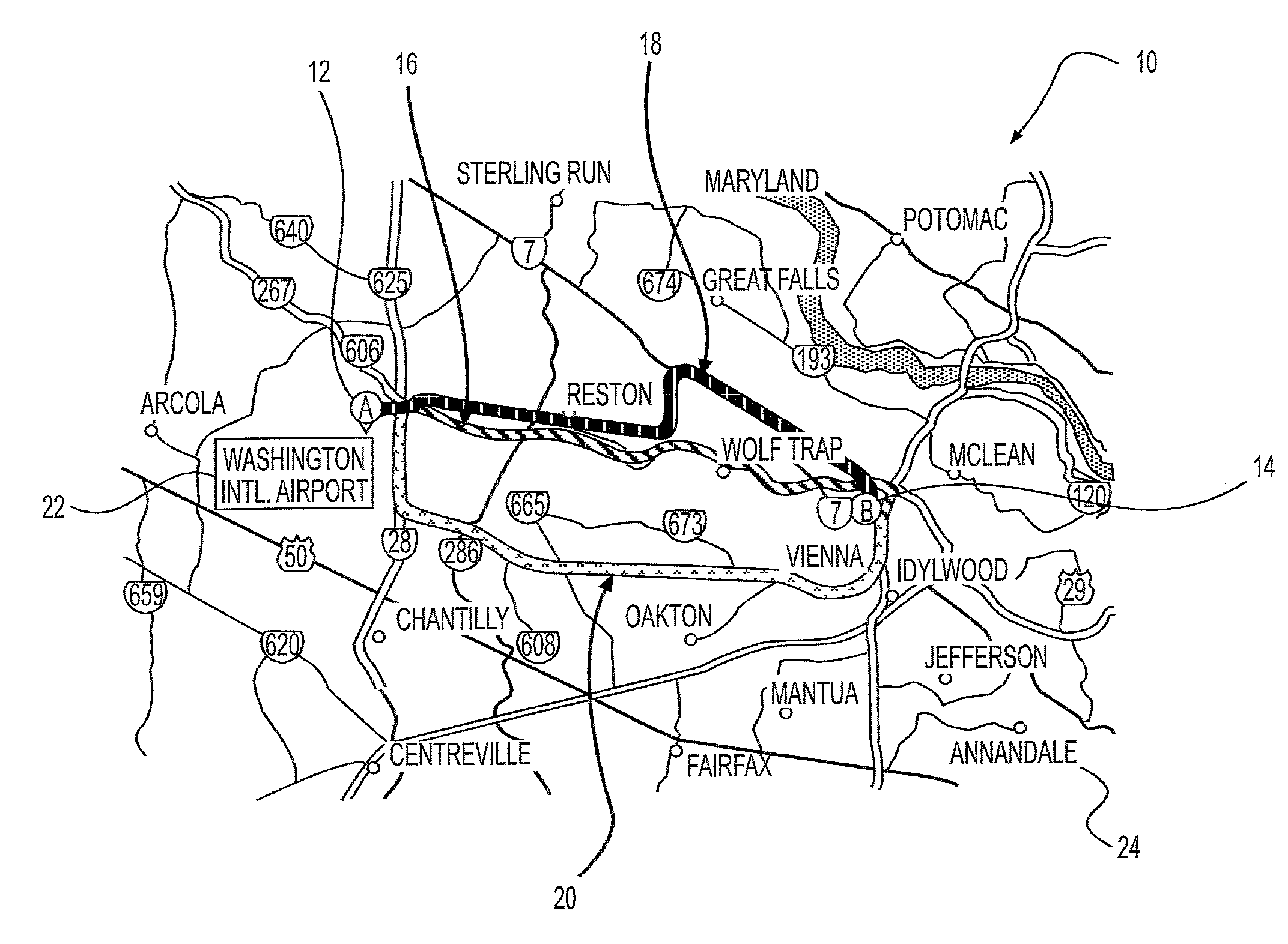
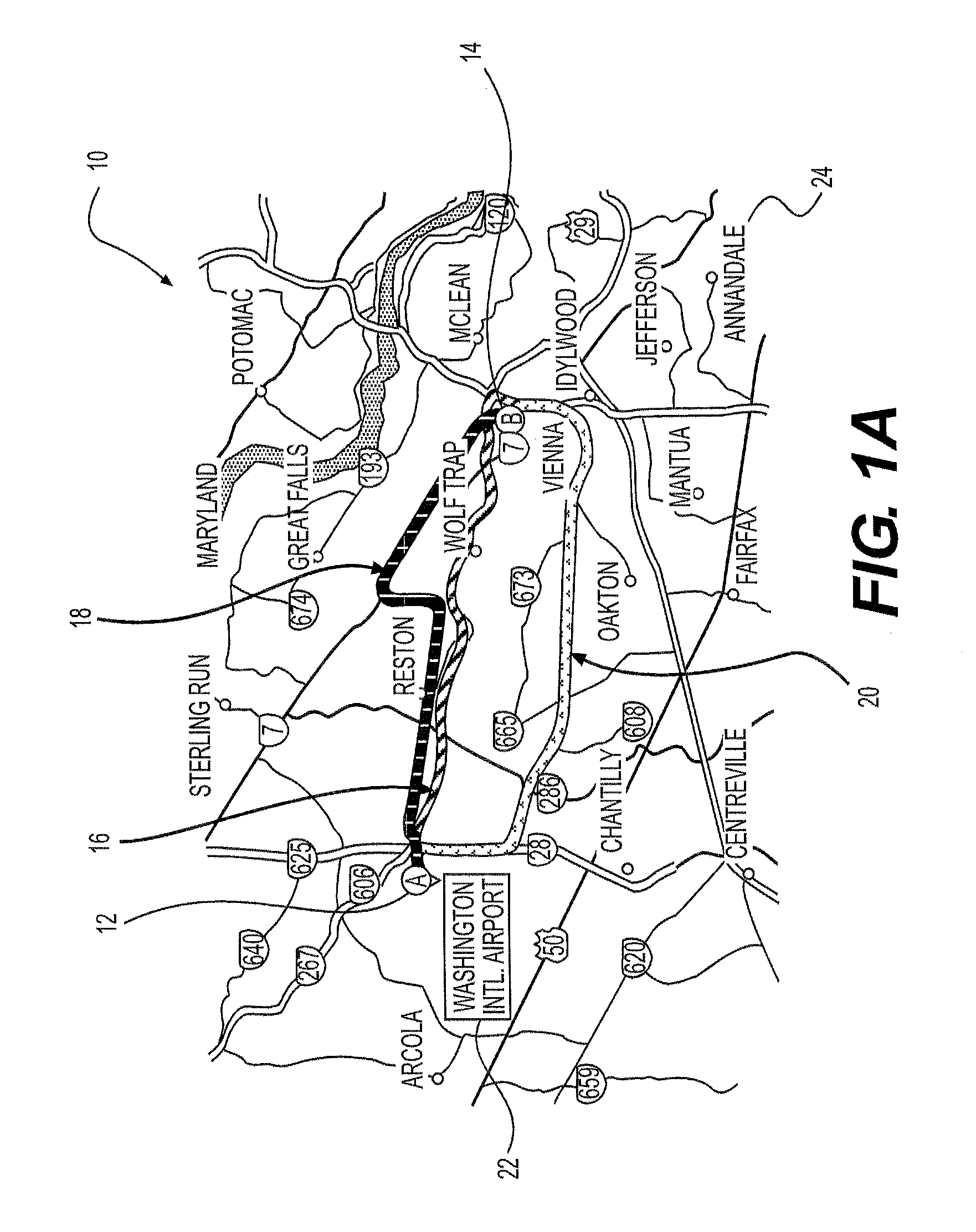
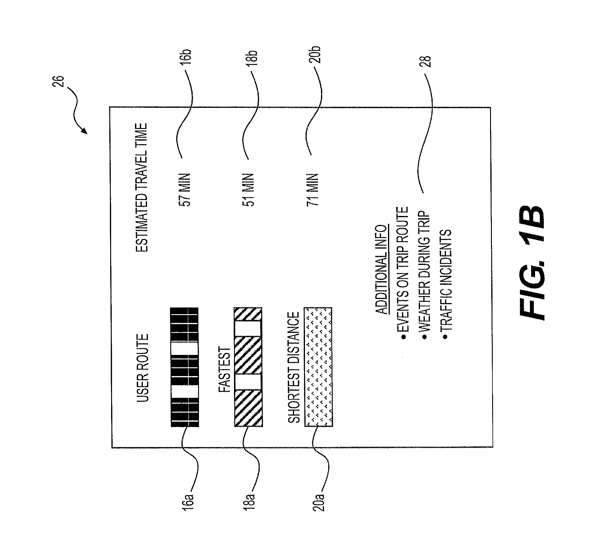
The patent describes a computer-implemented method for providing geographical mapping information to a user about a trip from a start location to a destination. The method involves observing the user's location information as they traverse a preferred route, saving this information in relation to the user. The method also involves predicting the user's start time for the future trip, identifying one or more routes from the start location to the destination, and comparing the duration or distance associated with each route to the preferred route. The system can also access information from databases such as traffic, weather, and event databases to provide additional information to the user. The technical effect of this patent is to provide users with detailed and accurate information about their trip, including the preferred route and the duration or distance associated with each route, to help them make informed decisions and optimize their travel experience.

Problems solved by technology

As a result, a user may not have information about real-time traffic data within enough time to select a more optimal route before beginning their trip.
In addition, most mapping systems are relatively static and “forgetful.” In other words, they only provide a simple function of comparing a current location with a destination at a particular moment (usually real-time), and determining and displaying one or more shortest and / or fastest routes.
Because these mapping services do not include information regarding a user's preferences or behaviors, these mapping services may not provide optimal routing information for individual users.
This may lead to user dissatisfaction with the mapping services, lost time, and increased fuel consumption.

Method used


Image

  • Systems and methods for providing mobile mapping services including trip prediction and route recommendation
  • Systems and methods for providing mobile mapping services including trip prediction and route recommendation
  • Systems and methods for providing mobile mapping services including trip prediction and route recommendation

Examples


Embodiment Construction

[0018]Reference will now be made in detail to the exemplary embodiments of the disclosure, examples of which are illustrated in the accompanying drawings. Wherever possible, the same reference numbers will be used throughout the drawings to refer to the same or like parts.

[0019]The present disclosure describes methods and systems for determining and presenting optimal mapping and routing information to users, based in part on human- or evidence-based factors. For example, optimal mapping and routing information may be determined by observing behaviors and preferences of individual users, determining recommended optimal mapping and routing information based in part on these observations, and presenting these recommendations to users for use during a trip.

[0020]According to embodiments of the present disclosure, route information may be presented to an electronic device of a user. The route information may be based on a comparison of various routes for a trip to a destination, includi...


PUM


Abstract

Computer implemented methods are disclosed for providing geographical information to a user. One method includes observing, via location information generated or obtained through a user's mobile electronic device, a user traverse a preferred user route from the start location to the destination, and saving the preferred user route in relation to the user. The method may predict, based on past behavioral information for the user, a predicted start time of a future trip to the destination and may identify one or more routes from the start location to the destination. In addition, the method may compare, at a time relative to the predicted start time of the future trip, a duration or distance associated with traversing the preferred user route to a duration or distance associated with traversing the fastest route or the shortest route from the start location to the destination.

Description

TECHNICAL FIELD[0001]Various embodiments of the present disclosure relate generally to providing mapping information. More specifically, exemplary embodiments of the present disclosure relate to systems and methods for predicting trip times and destinations, and determining optimal trip routing information, based in part on human- or evidence-based factors.BACKGROUND[0002]In planning a trip, such as an automobile trip, people often attempt to determine the best route to reach their destination. For example, people may wish to find a route with the shortest driving distance, or a route that will get them to their destination in the shortest amount of time. In order to provide drivers with this type of route information, traditional mapping services often calculate routes using preset methods based on known information, such as physical distances between locations and nearby connected roads. Recently, some mapping services have started using real-time traffic data to help improve the ...

Claims


Application Information

Patent Timeline
IPC IPC(8): G01C21/34
CPCG01C21/3484G01C21/3617
Inventor FLETCHER, GEORGE
Owner VERIZON PATENT & LICENSING INC
Learn More