Example based editing of virtual terrain maps

a virtual terrain and map technology, applied in the field of examples based editing of virtual terrain maps, can solve the problems of inherently stochastic landscapes, difficult for artists to manually model virtual terrains, and difficulty in extruding elevation meshes

Active Publication Date: 2015-12-03
UNIV COLLEGE OF LONDON
View PDF7 Cites 14 Cited by
  • Summary
  • Abstract
  • Description
  • Claims
  • Application Information

AI Technical Summary

Benefits of technology

[0006]One aspect of the invention provides a computer implemented method for generating a terrain map. The method generally includes receiving one or more assets specifying features of a terrain. The method also includes adding each of the one of more assets to at least one layer, where each layer is configured to store terrain features, and where the layers are overlaid on top of each other. The method further includes receiving one or more edits to the terrain and adding each of the one or more edits to a respective layer. In addition, the method includes blending the layers using a frequency-aware layer blending technique to generate the terrain map.

Problems solved by technology

Modeling such virtual terrains to resemble natural landscapes can be challenging due to the characteristics of natural landscapes.
However, at a micro level, natural landscapes are inherently stochastic.
These characteristics of natural landscapes make it difficult for artists to manually model virtual terrains by, e.g., extruding elevation meshes.
However, the parameterizations that are used are often unintuitive for artists, with little visual correlation between the input parameter values and the output terrain.
Further, artists lack control over the final, automatically generated terrain aside from modifying values of the available parameters.
As a result, artists have resorted to an example-based manual approach in which they collect reference and inspiration data from the real world (e.g., sketches, elevation maps, and satellite images) and sculpt virtual terrains using three-dimensional (3D) software packages, in a lengthy and cumbersome process.

Method used


Image

  • Example based editing of virtual terrain maps
  • Example based editing of virtual terrain maps
  • Example based editing of virtual terrain maps

Examples


Embodiment Construction

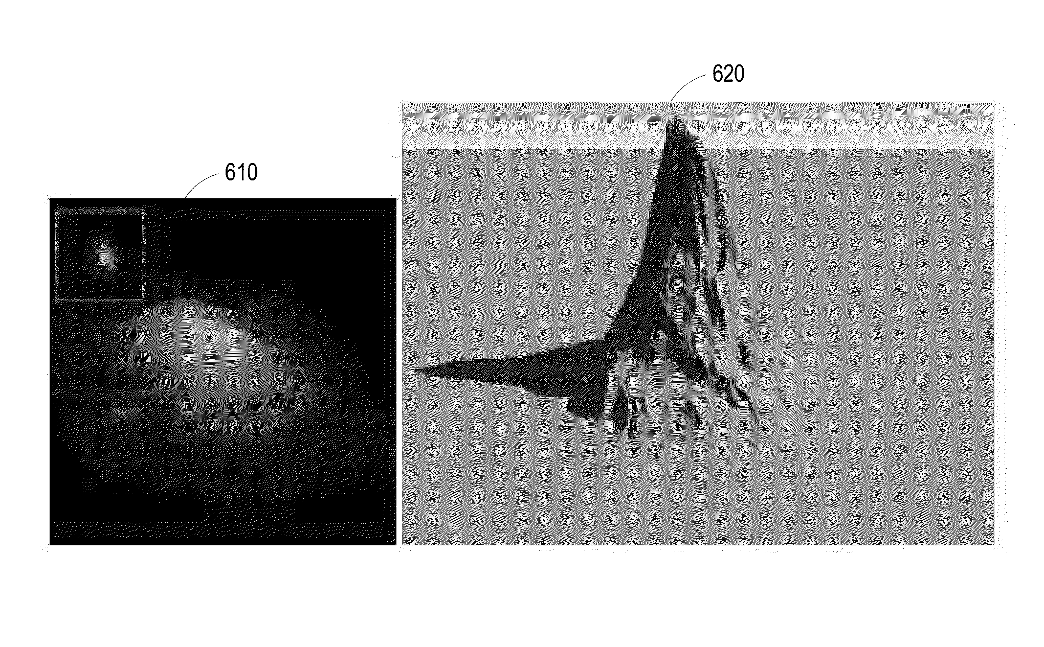
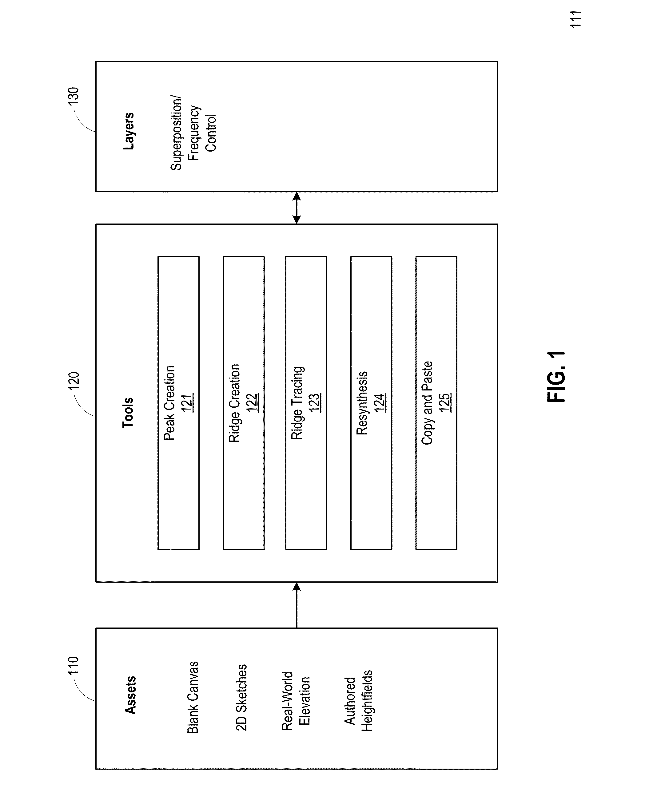
[0018]Embodiments disclosed herein provide techniques for generating virtual terrains. A terrain editing application (“editing application”) is configured to receive asset(s) of various types that specify characteristics of a terrain. As used herein, “terrain” generally refers to any displacement field, including natural landscapes. That is, techniques disclosed herein are applicable to natural landscapes and may also be used for other forms of displacement map editing. The assets received by the terrain editing application may include a blank canvas, two-dimensional (2D) sketches, real-world elevation maps, authored heightfields, and the like. A received asset is added to a new layer and provides the starting point for the terrain-creation workflow. Each layer is configured to store terrain features, and the layers may be overlaid on top of each other in a specific order (e.g., a user-determined order). Experience has shown that artists tend to prefer a workflow that is guided and ...


PUM


Abstract

The disclosure provides an approach for generating virtual terrains. A terrain editing application is configured to receive assets of various types, including a blank canvas, two-dimensional (2D) sketches, real-world elevation maps, authored heightfields, etc. The assets specify characteristics of a terrain, and provide starting points for creating the virtual terrain. The editing application further provides a set of tools allowing a user to modify the virtual terrain. In one embodiment, the set of tools may include a copy-and-paste tool, a peak creation tool, a ridge creation tool, a ridge tracing tool, and a resynthesis tool. The editing application generates a new layer for each edit, as well as 2D and three-dimensional (3D) previews of the edited terrain. The editing application also provides a user-adjustable frequency decomposition of each layer. The editing application combines layers using Laplacian blending to produce the final virtual terrain.

Description

BACKGROUND[0001]1. Field of the Invention[0002]Embodiments presented herein provide techniques for creating virtual terrain maps, including example-based editing of virtual terrain maps.[0003]2. Description of the Related Art[0004]Virtual terrains are used in numerous applications including animation, films, video games, landscape visualization and flight simulators. Modeling such virtual terrains to resemble natural landscapes can be challenging due to the characteristics of natural landscapes. At a macro level, natural landscapes tend to present distinctive geological features such as height, shape, and distribution of roughness. However, at a micro level, natural landscapes are inherently stochastic. These characteristics of natural landscapes make it difficult for artists to manually model virtual terrains by, e.g., extruding elevation meshes.[0005]A variety of procedural approaches have been developed to automatically generate virtual terrains. Such procedural approaches typica...

Claims


Application Information

Patent Timeline
Patent Type & Authority Applications(United States)
IPC IPC(8): G06T11/00G06T19/20G06T15/04
CPCG06T11/001G06T2210/61G06T19/20G06T15/04G06T15/503G06T17/05
Inventor BRADBURY, GWYNETHWEYRICH, TIMMITCHELL, KENNETH
Owner UNIV COLLEGE OF LONDON
Why Eureka
Try Eureka