Autonomous Vehicle Localization Using 5G Infrastructure

a technology for autonomous vehicles and infrastructure, applied in vehicle position/course/altitude control, using reradiation, instruments, etc., can solve problems such as inability to accurately locate vehicles, etc., to achieve minimal computational costs of systems and methods

Active Publication Date: 2019-11-14
FORD GLOBAL TECH LLC
View PDF0 Cites 5 Cited by
  • Summary
  • Abstract
  • Description
  • Claims
  • Application Information

AI Technical Summary

Problems solved by technology

For example, while GPS-enabled smartphones are typically accurate to within 4.9 meters (16 feet) under a clear, open sky, their accuracy worsens near buildings, bridges and trees.
Since GPS technology is inherently prone to error, such as where reception is disrupted or correction signals are not available, other localization techniques are needed for use in safety-critical autonomous driving situations to ensure necessary levels of precision under all circumstances.
Ideally, such systems and methods would be minimally computationally expensive, thereby limiting energy expenditure and maximizing vehicle range.

Method used


Image

  • Autonomous Vehicle Localization Using 5G Infrastructure
  • Autonomous Vehicle Localization Using 5G Infrastructure
  • Autonomous Vehicle Localization Using 5G Infrastructure

Examples


Embodiment Construction

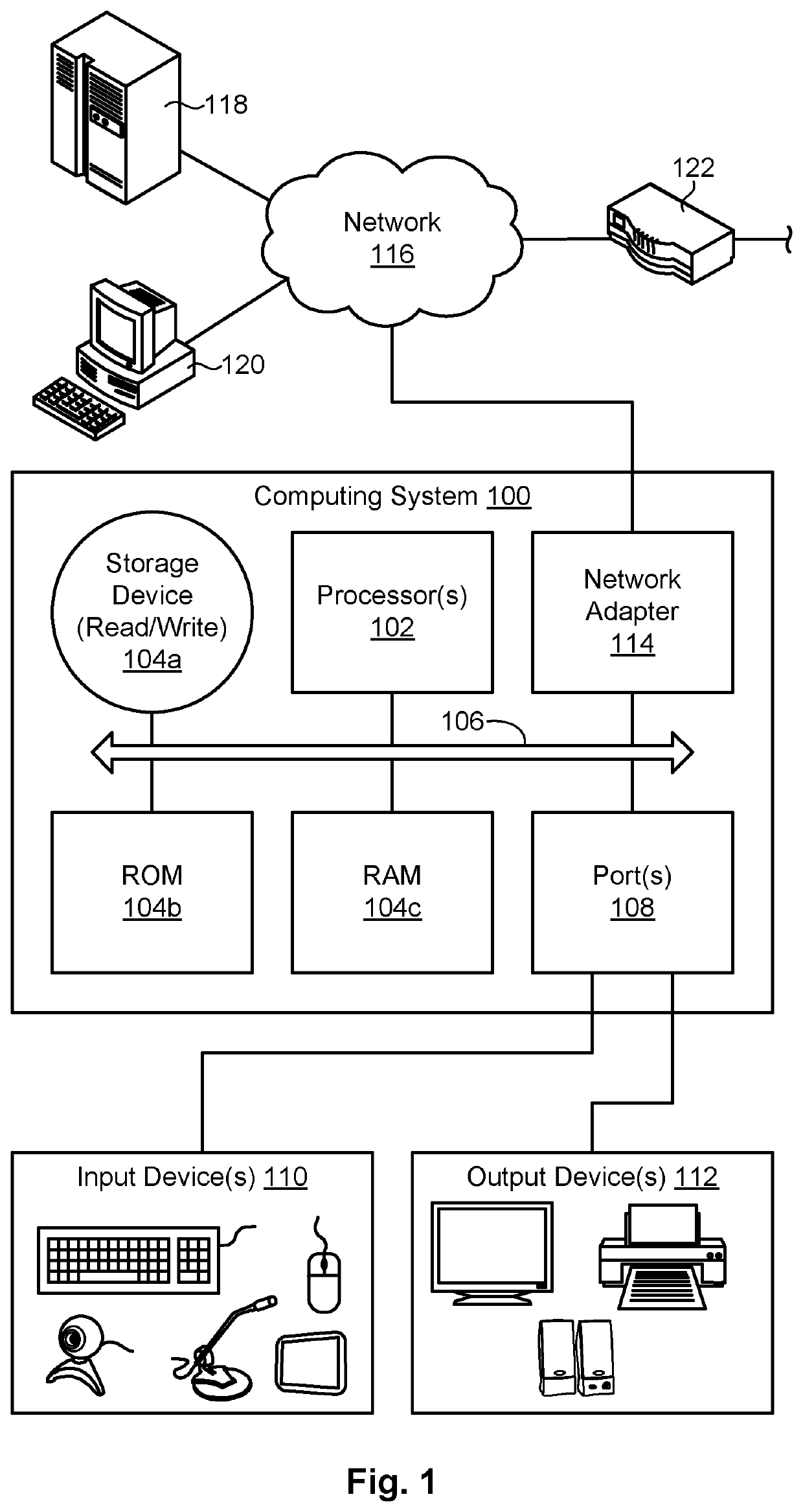
[0013]Referring to FIG. 1, one example of a computing system 100 is illustrated. The computing system 100 is presented to show one example of an environment where a system and method in accordance with the invention may be implemented. The computing system 100 may be embodied as a mobile device 100 such as a smart phone or tablet, a desktop computer, a workstation, a server, or the like. The computing system 100 is presented by way of example and is not intended to be limiting. Indeed, the systems and methods disclosed herein may be applicable to a wide variety of different computing systems in addition to the computing system 100 shown. The systems and methods disclosed herein may also potentially be distributed across multiple computing systems 100.

[0014]As shown, the computing system 100 includes at least one processor 102 and may include more than one processor 102. The processor 102 may be operably connected to a memory 104. The memory 104 may include one or more non-volatile s...


PUM


Abstract

A method for autonomous vehicle localization. The method may include receiving, by an autonomous vehicle, millimeter-wave signals from at least two 5G transmission points. Bearing measurements may be calculated relative to each of the 5G transmission points based on the signals. A vehicle velocity may be determined by observing characteristics of the signals. Sensory data, including the bearing measurements and the vehicle velocity, may then be fused to localize the autonomous vehicle. A corresponding system and computer program product are also disclosed and claimed herein.

Description

BACKGROUNDField of the Invention[0001]This invention relates to localizing vehicles.Background of the Invention[0002]The global positioning system (“GPS”) is a global satellite-based navigation system that provides positioning, navigation and timing services to GPS receivers anywhere in the world, so long as there is an unobstructed line of sight to four or more GPS satellites. GPS satellites are owned by the United States government and committed to broadcast their signals in space to a global average user range of error of less than 7.8 meters (25.6 feet), with 95% probability. Actual performance exceeds that commitment. The signal received by a GPS receiver, however, depends on additional factors, such as satellite geometry, signal blockage, atmospheric conditions, and the design, features and / or quality of the receiver. For example, while GPS-enabled smartphones are typically accurate to within 4.9 meters (16 feet) under a clear, open sky, their accuracy worsens near buildings, ...

Claims


Application Information

Patent Timeline
Patent Type & Authority Applications(United States)
IPC IPC(8): G05D1/02G01S11/04G01S11/10
CPCG05D1/0285G05D1/0088G01S11/10G01S11/04G01C21/28H04W4/025H04W4/029H04W64/006G01S5/02585G01S3/48G01S5/12G01S2205/01G05D1/0231G05D1/027G05D2201/0213G05D1/0274G05D1/0278G05D1/0257
Inventor HOUTS, SARAHPAUDEL, SHREYASHAKEISER, LYNN VALERIEREID, TYLER
Owner FORD GLOBAL TECH LLC
Why Eureka
Try Eureka