Water system deposit sediment survey data processing method based on opening catchment basin

A technology for investigating data and processing methods, applied in the fields of electrical digital data processing, special data processing applications, geophysical surveying, etc.

Active Publication Date: 2012-04-25
INST OF MINERAL RESOURCES CHINESE ACAD OF GEOLOGICAL SCI
View PDF2 Cites 0 Cited by
  • Summary
  • Abstract
  • Description
  • Claims
  • Application Information

AI Technical Summary

Problems solved by technology

The application of computer technology has realized the automation of catchment basin extraction, but the result is a closed catchment basin distribution map, which cannot reflect the direction of provenance and the direction of relative movement of elements or minerals

Method used


Image

  • Water system deposit sediment survey data processing method based on opening catchment basin
  • Water system deposit sediment survey data processing method based on opening catchment basin
  • Water system deposit sediment survey data processing method based on opening catchment basin

Examples


Embodiment Construction

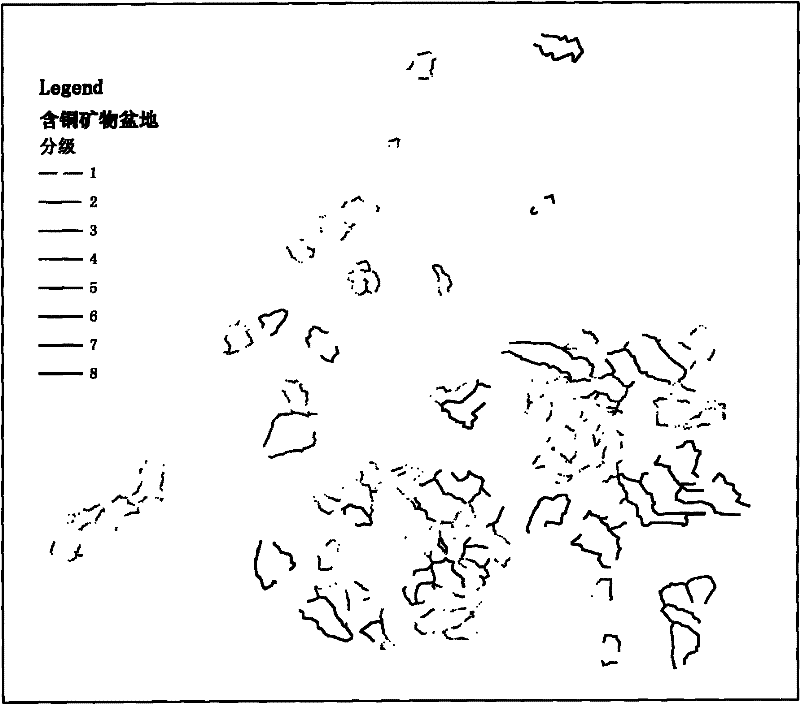
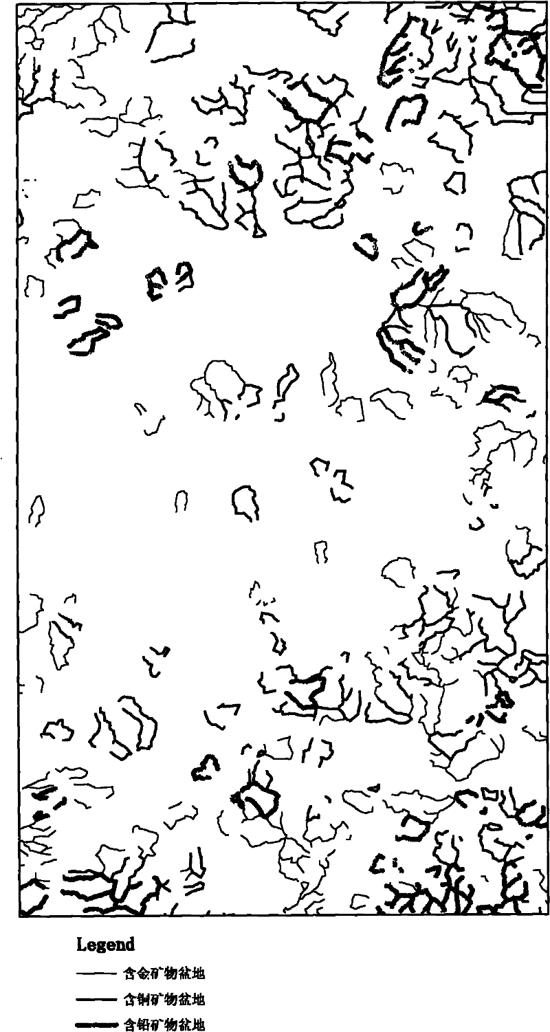
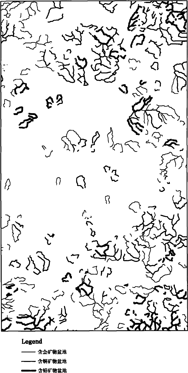
[0026] In order to better understand the technical solutions of the present invention, the implementation manners of the present invention will be further described below in conjunction with the accompanying drawings. The patent of the present invention can be applied to the analysis and processing of the investigation data of elements or minerals in water system sediments. The following is a description of the investigation data of natural heavy sand minerals as an example, including the following specific implementation details:

[0027] 1. Preprocessing of natural heavy sand data: natural heavy sand data includes heavy sand identification result data files and sample basic information data files.

[0028] (1) Add two fields X and Y to the heavy sand identification result data file, indicating the latitude and longitude of the sampling point, and the value is read from the sample basic information data file according to the sample number.

[0029] (2) Standardize the origina...


PUM


Abstract

The invention provides a water system deposit sediment element or mineral survey data integrated and displaying method by taking an opening catchment basin as a unit, relating to the technical field of exploration geochemistry. The method adopts GIS development technology to treat the water system and the catchment basin with a conventional method, so as to obtain the opening catchment basin; by taking the opening catchment basin as a unit, elements or mineral kinds and the corresponding content of all sampling points in the basin are counted to build an element or mineral combined model, thecalculated result is used as basin property, and achievement expression is carried out by using the opening catchment basin. The invention can directly display the water system deposit sediment element or mineral provenance range or the direction of mineral migration, so as to be convenient for analysis and mapping and field checking of spatial distribution regularities.

Description

technical field [0001] The present invention relates to a method for synthesizing and displaying element or mineral investigation data of water system sediments with an open catchment basin as a unit, specifically a GIS (Geographic Information System) based open catchment basin extraction and catchment basin The synthesis and display method of element or mineral survey data at sampling points, involving technical fields such as geographic information system, exploration geochemistry, environmental geochemistry, mineral exploration, etc., can be directly applied to the comprehensive processing and results of regional water system sediment element or mineral survey data graphic representation, etc. Background technique [0002] The element or mineral survey of water system sediments is an important method to evaluate the abundance of regional surface elements or the distribution of heavy (accessory) minerals, and can be applied to environmental assessment or the search for va...

Claims


Application Information

Patent Timeline
Patent Type & Authority Patents(China)
IPC IPC(8): G06F17/30G01V9/00
Inventor 曹殿华王安建季舒佳
Owner INST OF MINERAL RESOURCES CHINESE ACAD OF GEOLOGICAL SCI
Why Eureka
Try Eureka