Method for predicting land use space planning and converting simulated space scale
A scale conversion and space simulation technology, applied in the field of geographic information, can solve problems such as time-consuming, loss of accuracy, and low efficiency
- Summary
- Abstract
- Description
- Claims
- Application Information
AI Technical Summary
Problems solved by technology
Method used
Image
Examples
Embodiment Construction
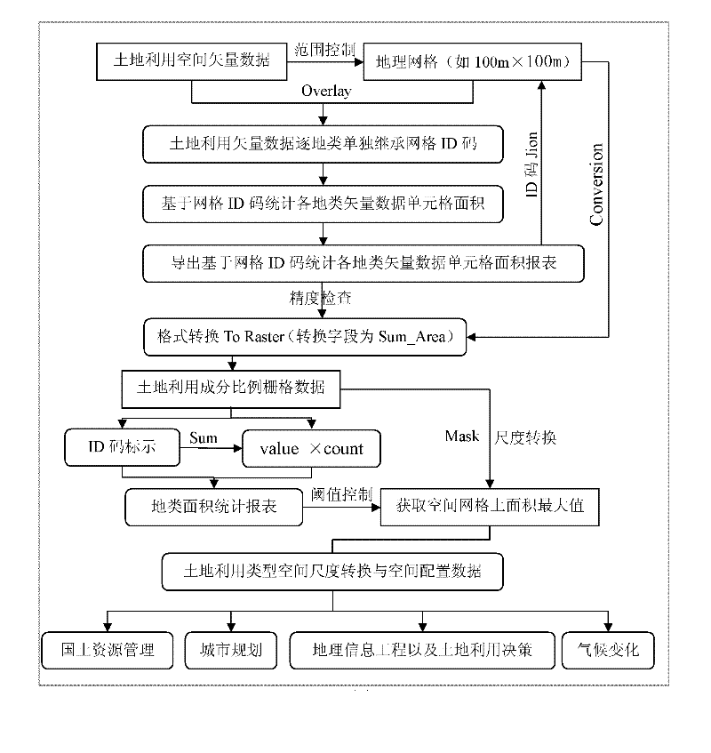
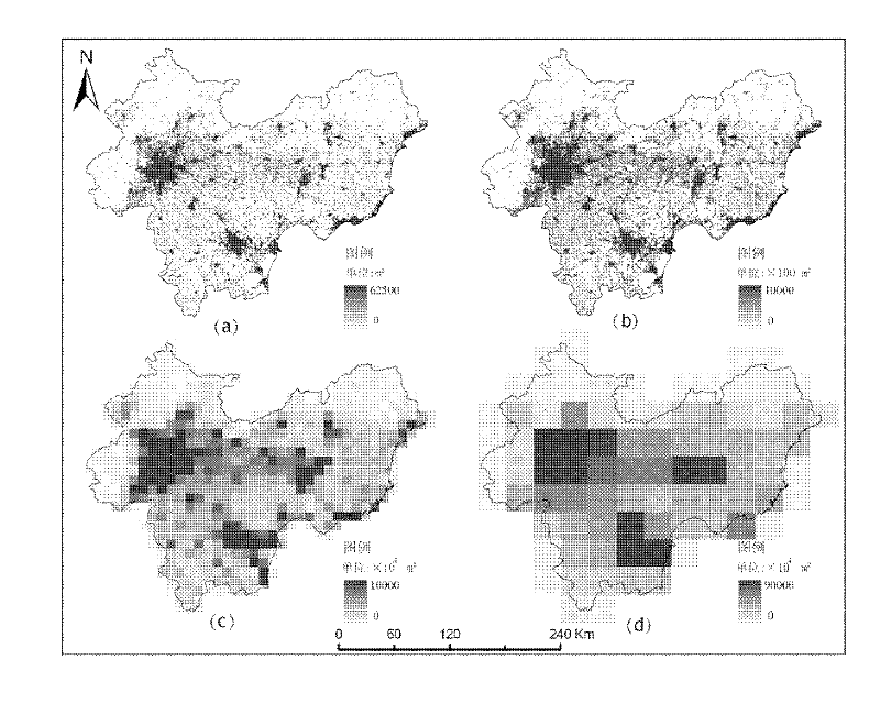
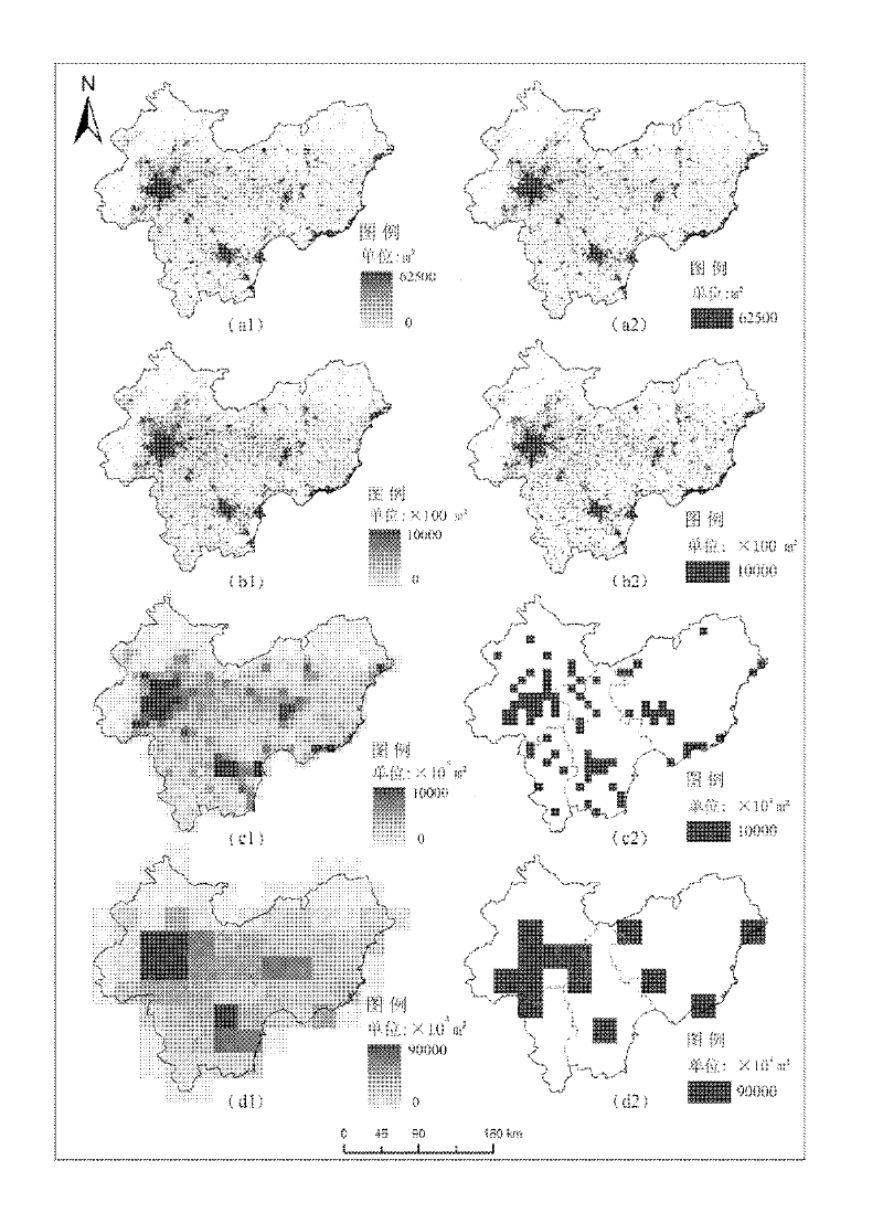
[0022] The land use spatial planning prediction and simulation spatial scale conversion method is aimed at serving land resource management, urban planning, geographic information engineering, land use decision-making, and climate change impact assessment in global climate negotiations. It fully integrates vector and raster conversion and Raster and raster scale conversion results, improve the accuracy of data use, closely combine practicability and scientificity, save a lot of time in the data operation process, and provide guarantee for data conversion accuracy and efficiency.
[0023] Accurate geographic data is the basis for quantitative description and research issues. The reliability of data and the quality of acquired data directly affect the results of representation and analysis. The land use vector data structure is complex, data exchange is difficult, and the performance of expressing spatial changes is poor. In order to meet the actual needs, the raster data has the...
PUM
 Abstract
Description
Claims
Application Information
 - R&D
- Intellectual Property
- Life Sciences
- Materials
- Tech Scout
- Unparalleled Data Quality
- Higher Quality Content
- 60% Fewer Hallucinations
Browse by: Latest US Patents, China's latest patents, Technical Efficacy Thesaurus, Application Domain, Technology Topic, Popular Technical Reports.
© 2025 PatSnap. All rights reserved.Legal|Privacy policy|Modern Slavery Act Transparency Statement|Sitemap|About US| Contact US: help@patsnap.com


