Remote sensing satellite image quality evaluation method

A technology for image quality evaluation and remote sensing satellites, which is applied in the field of remote sensing satellite image quality evaluation, and can solve problems such as the inability to truly reflect the application effect of remote sensing satellite images

Inactive Publication Date: 2012-07-11
CHINA UNIV OF GEOSCIENCES (WUHAN)
View PDF2 Cites 28 Cited by
  • Summary
  • Abstract
  • Description
  • Claims
  • Application Information

AI Technical Summary

Problems solved by technology

There is no direct relationship between image quality indicators and image application effects, so it cannot truly reflect the application effect of remote sensing satellite images

Method used


Image

  • Remote sensing satellite image quality evaluation method
  • Remote sensing satellite image quality evaluation method
  • Remote sensing satellite image quality evaluation method

Examples


Embodiment 1

[0080] Implementation example 1: remote sensing satellite image quality evaluation for geological and lithological applications, the steps include:

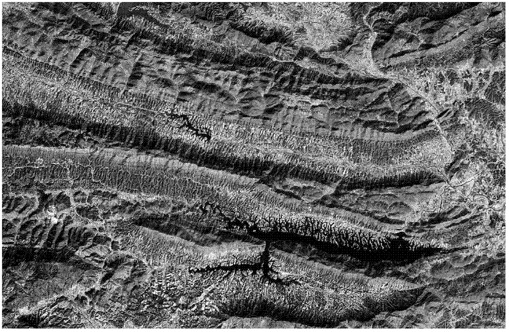
[0081] Step 1, such as figure 1 is the original image obtained; the original image is generally a high-resolution remote sensing satellite image covering geological and lithological targets, and WorldView-2 data is used here;

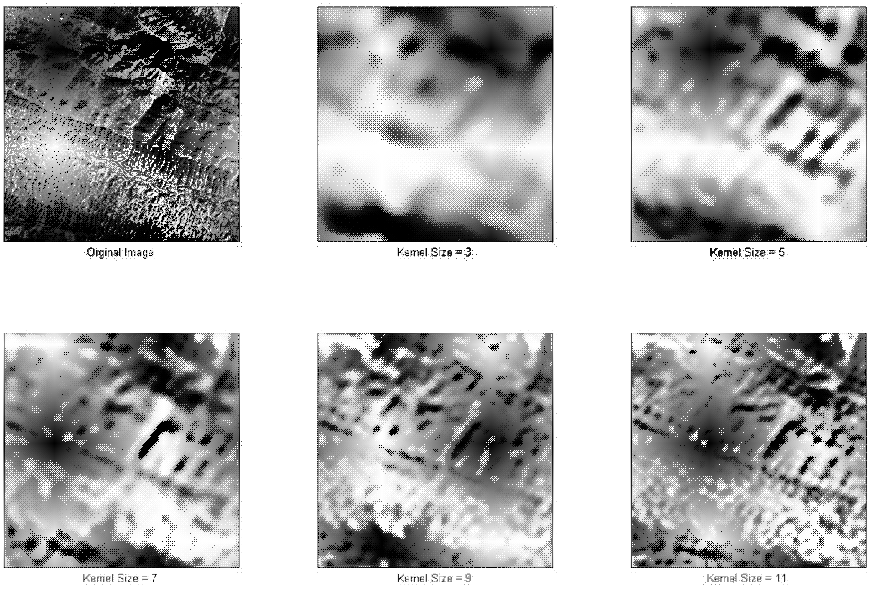
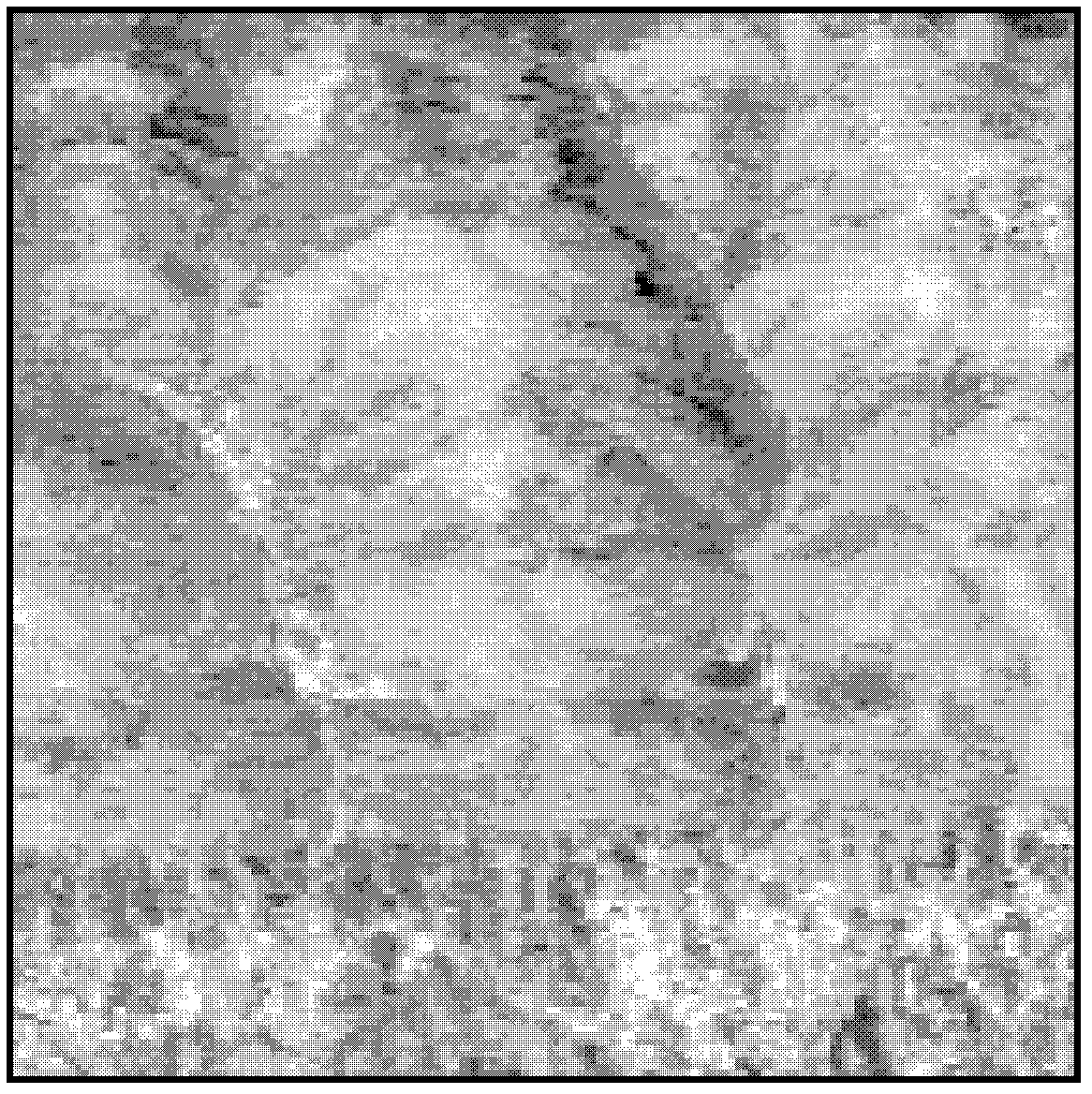
[0082] Step 2, after the acquired original image is degraded, a large number of degraded images can be obtained (some images such as figure 2 shown); use different degradation algorithms to degrade high-resolution remote sensing images, and obtain a large number of remote sensing images with different qualities for the next step of analysis;

[0083] Step 3, analyze the quality index of the degraded image; use the existing index calculation method to calculate 7 indexes of images with different qualities, and obtain the corresponding index set;

[0084] Step 4: Obtain the application effect of the degra...


PUM


Abstract

The invention provides a remote sensing satellite image quality evaluation method, which includes steps as follows: acquiring an original image; acquiring a set of degraded images with different qualities through the degradation treatment; analyzing the quality indexes of the degraded images; analyzing application effects of the degraded images; establishing a linear relation model from the quality indexes of the degraded images to the application effects of the degraded images; and evaluating the quality of the remote sensing satellite image based on the relation model. Targeted at the application effects of the remote sensing satellite image, the remote sensing satellite image quality evaluation method specifically evaluates the quality of the image through the combination of the subjective evaluation and the objective evaluation.

Description

technical field [0001] The invention relates to a method for evaluating the image quality of remote sensing satellites, which belongs to the field of earth observation and navigation. Background technique [0002] There are many types of existing remote sensing satellite images, and how to select the appropriate remote sensing satellite data for some special applications has become a difficult problem for researchers / engineers. In order to meet the quality evaluation of remote sensing satellite data, usually through subjective evaluation or objective evaluation method, 3 to 5 image quality indicators are used to analyze the quality of different types of remote sensing satellite images. At present, remote sensing satellite image quality evaluation mainly focuses on the comparative analysis of indicators. The existing remote sensing satellite image quality evaluation methods are as follows: [0003] 1. Image acquisition [0004] Obtain medium and high-resolution remote sensi...

Claims


Application Information

Patent Timeline
Patent Type & Authority Applications(China)
IPC IPC(8): G06T7/00
Inventor 董玉森张志李娟周伟
Owner CHINA UNIV OF GEOSCIENCES (WUHAN)
Why Eureka
Try Eureka