Satellite joint inversion earth gravitational field method using different orbit inclination angles

A technology of orbital inclination and earth gravity, which is applied in the direction of gravitational field measurement, geophysical measurement, and measuring devices, can solve the problem of low sensitivity of the earth's gravitational potential field harmonic term coefficient, and achieve low performance requirements, high inversion accuracy, and physical well-defined effects

Inactive Publication Date: 2015-03-25
INST OF GEODESY & GEOPHYSICS CHINESE ACADEMY OF SCI
View PDF6 Cites 1 Cited by
  • Summary
  • Abstract
  • Description
  • Claims
  • Application Information

AI Technical Summary

Problems solved by technology

GRACE satellite adopts a design with a high orbital inclination of 89°, which can effectively improve the accuracy of the harmonic term coefficients of the earth's gravitational potential band, but is less sensitive to the earth's gravitational potential band harmonic term coefficients, so the second group of satellites with lower orbital inclinations can be used. Accurate Measurement of Earth's Gravitational Potential Field Harmonic Term Coefficients

Method used


Image

  • Satellite joint inversion earth gravitational field method using different orbit inclination angles
  • Satellite joint inversion earth gravitational field method using different orbit inclination angles
  • Satellite joint inversion earth gravitational field method using different orbit inclination angles

Examples


Embodiment Construction

[0027] The specific implementation manners of the present invention will be further described below in conjunction with the accompanying drawings.

[0028] The application of the method of joint inversion of the earth's gravity field using satellites with different orbital inclination angles:

[0029] Step 1: Satellite key payload data collection

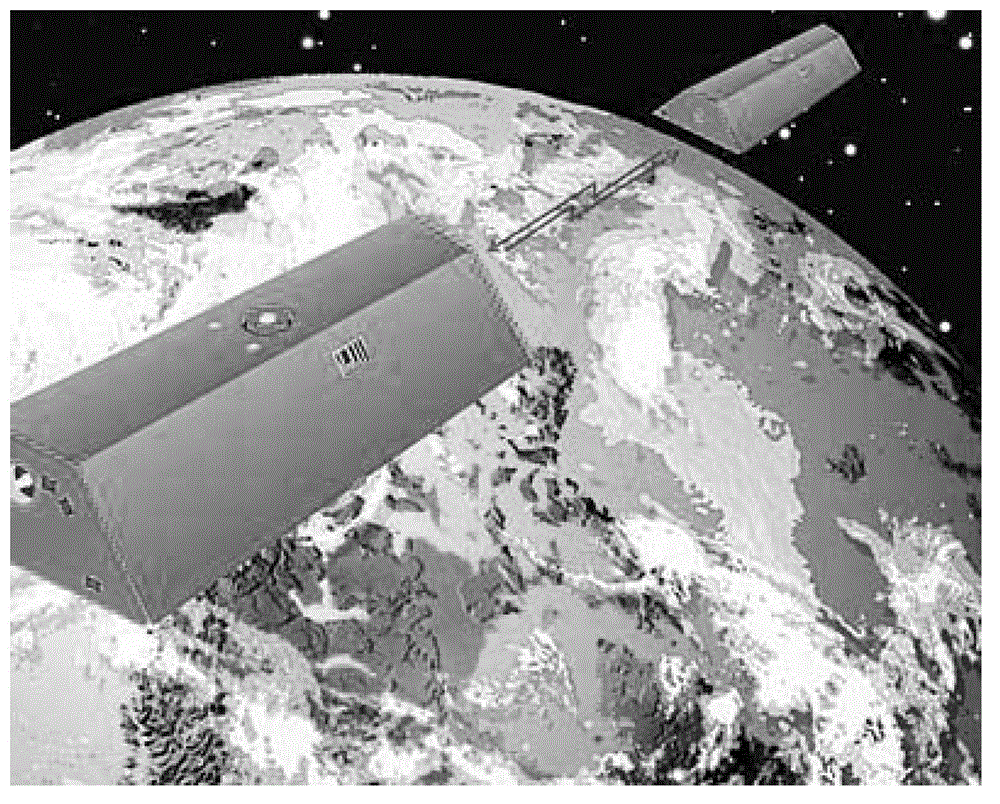
[0030] (1) The inter-satellite distance ρ of a group of GRACE-A / B binary stars is collected by the space-borne K-band rangefinder 12 , interstellar speed and interstellar acceleration The orbital position of the double satellites is collected by the satellite-borne GPS receiver (r 1 ,r 2 ) and the orbital velocity of the binary star The non-conservative force (f 1 , f 2 ).

[0031] (2) Use the numerical simulation formula of the 9th-order Runge-Kutta linear single-step method and the 12th-order Adams-Cowell linear multi-step method to obtain the reference orbit position of the binary star and binary reference orbital ve...


PUM


Abstract

The invention relates to a precision measurement method of the earth gravitational field, in particular to a satellite joint inversion earth gravitational field method using different orbit inclination angles. According to the satellite joint inversion earth gravitational field method using the different orbit inclination angles, satellite space distance, satellite space speed and satellite space acceleration measurement data of a k wave band distance meter of a GRACE satellite, satellite orbit position measurement data and satellite orbit speed measurement data of a global position system (GPS) receiver and nonconservative force measurement data of an accelerometer are used, and earth gravitational field inversion is achieved accurately and fast based on a disturbance satellite space acceleration method through optimum combination of the different orbit inclination angles. The satellite joint inversion earth gravitational field method using the different orbit inclination angles is high in satellite gravity inversion accuracy, sensitive in precision of coefficients of gravitational potential zonal harmonics and tesseral harmonic terms, high in calculating speed of earth gravitational field, clear in physical meaning of a satellite observation equation, and low in requirements for computer performance. And therefore, the satellite joint inversion earth gravitational field method using the different orbit inclination angles is an optimum method for high inversion precision and high spatial resolution earth gravitational fields.

Description

technical field [0001] The present invention relates to intersecting technical fields such as satellite geodesy, satellite gravity, and space science, and in particular to a method based on disturbance inter-satellite acceleration, which utilizes the inter-satellite distance, inter-satellite velocity and inter-satellite velocity of GRACE satellite K-band range finder. Acceleration measurement data, satellite orbit position measurement data and satellite orbit velocity measurement data of GPS receivers, and satellite non-conservative force measurement data of accelerometers, through the optimal combination of satellites with different orbital inclination angles, can accurately and quickly invert the Earth's gravity field method. Background technique [0002] Since Galileo made the first measurement of the Earth's gravity field at the end of the 16th century, many scientific research institutions at home and abroad have carried out a large number of measurements of the Earth's...

Claims


Application Information

Patent Timeline
Patent Type & Authority Patents(China)
IPC IPC(8): G01V7/00
Inventor 不公告发明人
Owner INST OF GEODESY & GEOPHYSICS CHINESE ACADEMY OF SCI
Why Eureka
Try Eureka