

Interactive plotting method based on laser-point cloud and panorama image
A mapping method, laser point cloud technology, applied in the field of surveying and mapping, can solve problems such as inability to meet the accuracy requirements of large-scale mapping, low intuitiveness, and affecting mapping efficiency and accuracy
- Summary
- Abstract
- Description
- Claims
- Application Information
AI Technical Summary
Problems solved by technology
Method used
Image

Examples
Embodiment Construction
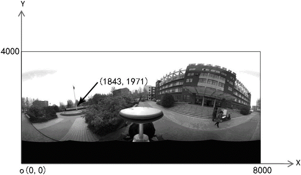
[0088] The present invention will be described in further detail below in conjunction with the accompanying drawings and specific embodiments: The embodiment takes the calculation of the coordinates of the national flag flagpole in the panoramic image of the courtyard of an office building as an example.
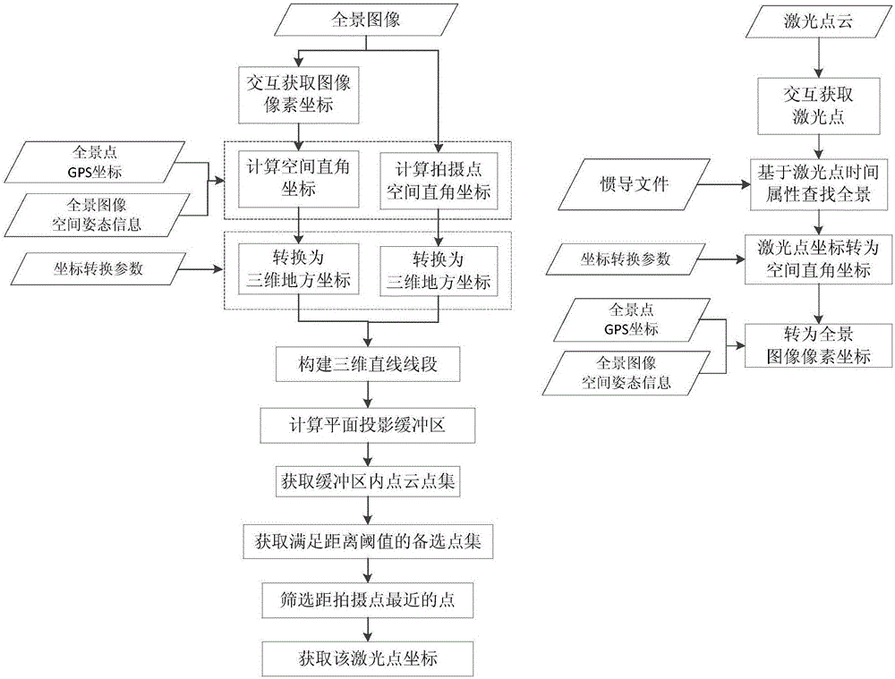
[0089] figure 1 A schematic flow diagram of the method is shown, where the left side is a flow diagram of positioning from panoramic image pixel coordinates to laser point coordinates during forward interaction; the right side is from laser point coordinates to panoramic image pixel positioning during reverse interaction Schematic diagram of the coordinate process; as can be seen from the figure, the forward interaction steps are as follows:
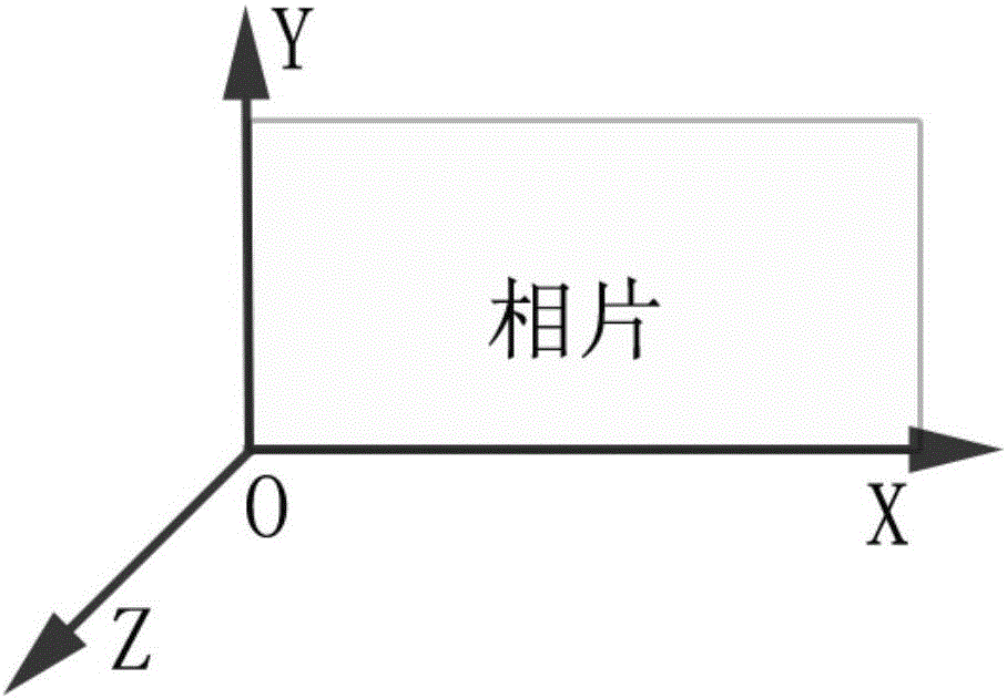
[0090] In the first step, first establish the figure 2 In the image space coordinate system of the panoramic image shown, the panoramic pixel coordinate P r (X,Y) converted to image space coordinates P r '(X,Y,0); where P r The (X...
PUM
 Abstract
Description
Claims
Application Information